
 Renau
Carrizo
La Tallada d'Empordà
Palazuelos de Eresma
Pájara
Finestrat
Cervelló
Almonacid de Toledo
Campanet
Montalbán de Córdoba
Corao
Otura
Bardallur
Torrejoncillo del Rey
Barriopedro
La Gila
El Oro
Navales
Villatuerta
Renau
Carrizo
La Tallada d'Empordà
Palazuelos de Eresma
Pájara
Finestrat
Cervelló
Almonacid de Toledo
Campanet
Montalbán de Córdoba
Corao
Otura
Bardallur
Torrejoncillo del Rey
Barriopedro
La Gila
El Oro
Navales
Villatuerta
Chiva on the map, Spain
Where is located Chiva
Exact location — Chiva, Valencia, Comunidad Valenciana, Spain, marked on the map with a red marker.
Coordinates
Chiva, Spain coordinates in decimal format: latitude — 39.4726477, longitude — -0.7194028. When converted to degrees, minutes, seconds Chiva has the following coordinates: 39°28′21.53 north latitude and -0°43′9.85 east longitude.
Population
Chiva, Valencia, Comunidad Valenciana, Spain, according to our data the population is — 11,386 residents, which is about 0% of the total population of the country (Spain).
Comparison of the population on the graph:
Exact time
Time zone for this location Chiva — UTC +2 Europe/Madrid. Exact time — wednesday, 5 may 2024 year, 02 h. 29 minutes.
Sunrise and sunset
Chiva, sunrise and sunset data for a date — wednesday 15.05.2024.
| Sunrise | Sunset | Day (duration) |
|---|---|---|
| 06:51 -1 minute | 21:06 +1 minute | 14 h. 18 minutes. +2 minutes |
You can control the scale of the map using the auxiliary tools to find out exactly where it is located Chiva. When you change the scale of the map, the width of the ruler also changes (in kilometers and miles).
Nearby cities
The largest cities that are located nearby:
- Valencia — 29 km
- Albacete — 111 km
- Murcia — 168 km
- Cartagena — 206 km
- Zaragoza — 241 km
- Tarragona — 245 km
- Alcala de Henares — 249 km
- Torrejón de Ardoz — 256 km
- Lleida — 262 km
- Getafe — 270 km
- Alcobendas — 272 km
- Leganés — 274 km
- Fuenlabrada — 275 km
- Alcorcón — 279 km
- Móstoles — 282 km
- Palma — 287 km
- L'Hospitalet de Llobregat — 315 km
- Terrassa — 323 km
- Santa Coloma de Gramenet — 326 km
Distance to neighboring capitals:
- Andorra la Vella
 (Andorra) — 386 km
 - Lisbon
 (Portugal) — 731 km
 - Rabat
 (Morocco) — 820 km
 - Paris
 (France) — 1072 km
 - Paris (France) — 1072 km
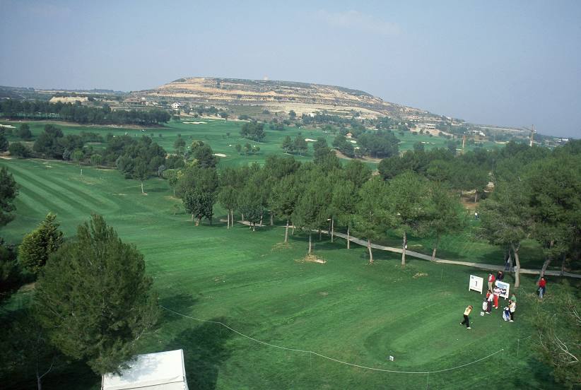
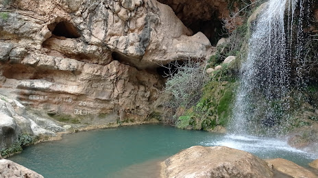
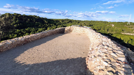
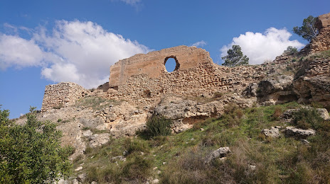
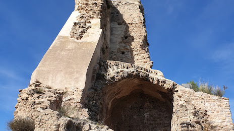
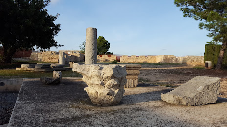
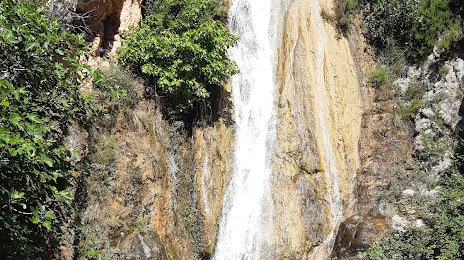
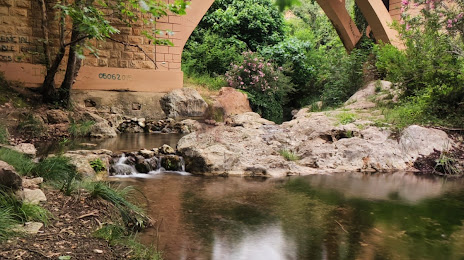
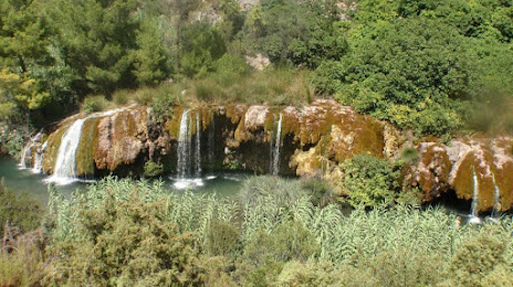
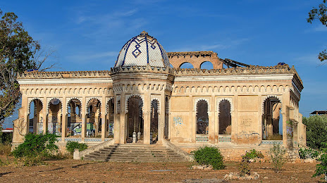
Attractions
Distance to the capital
Distance to the capital (Madrid) is about — 275 km.