 Betteshanger
Lynton
Amesbury
Marlow
Burford
Chipping Norton
Marlborough
Cairnryan
Lydney
Betteshanger
Lynton
Amesbury
Marlow
Burford
Chipping Norton
Marlborough
Cairnryan
Lydney
The Dudson Museum on the map, Stoke-on-Trent, United Kingdom
Photo
Where is located The Dudson Museum
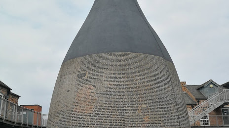
The Dudson Museum — local attraction, which is located at The Dudson Centre, Hope St, Hanley, Stoke-on-Trent ST1 5DD, United Kingdom and belongs to the category — museum. Average visitor rating for this place — 3.1 (according to 72 ratings, information from open sources and relevant for 2022).
Exact location — The Dudson Museum, marked on the map with a red marker.
You can get directions to The Dudson Museum on the map from your location.
What else is interesting in Stoke-on-Trent? You can see all the sights if you go to the city page.
Coordinates
The Dudson Museum, United Kingdom coordinates in decimal format: latitude — 53.00751575776719, longitude — -2.155376215413849. When converted to degrees, minutes, seconds The Dudson Museum has the following coordinates: 53°0′27.06 north latitude and -2°9′19.35 east longitude.
Nearby cities
The largest cities that are located nearby:
- Telford — 40 km
- Manchester — 53 km
- Sutton Coldfield — 53 km
- Dudley — 55 km
- West Bromwich — 55 km
- Birmingham — 60 km
- Sheffield — 63 km
- Liverpool — 70 km
- Rotherham — 72 km
- Huddersfield — 76 km
- Coventry — 80 km
- Leicester — 81 km
- Blackburn — 85 km
- Worcester — 89 km
- Preston — 91 km
- Northampton — 121 km
- Cheltenham — 122 km
- Oxford — 152 km
- Swindon — 162 km
Distance to the capital
Distance to the capital (London) is about — 217 km.