
 Staden
Geest-Gerompont-Petit-Rosière
Grote Hut
Sint-Job-in-'t-Goor
Deidenberg
De Pinte
Pussemange
Peruwelz
Barrière de Champlon
Staden
Geest-Gerompont-Petit-Rosière
Grote Hut
Sint-Job-in-'t-Goor
Deidenberg
De Pinte
Pussemange
Peruwelz
Barrière de Champlon
Piekiełko-Uroczysko on the map, Verviers, Belgium
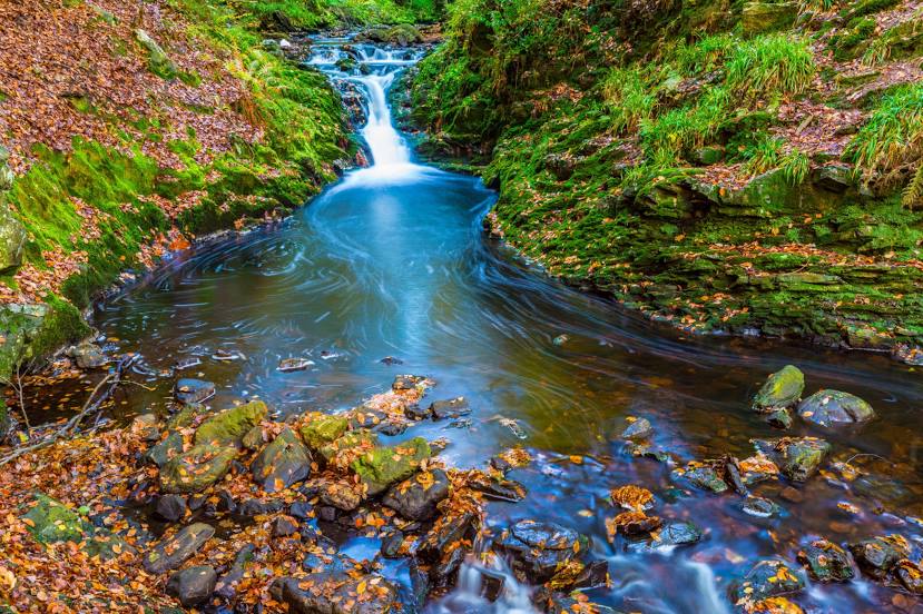
Photo
Where is located Piekiełko-Uroczysko
Piekiełko-Uroczysko — local attraction, which is located at no data and belongs to the category — -. Average visitor rating for this place — 4.5 (according to 74 ratings, information from open sources and relevant for 2022).
Exact location — Piekiełko-Uroczysko, marked on the map with a red marker.
You can get directions to Piekiełko-Uroczysko on the map from your location.
What else is interesting in Verviers? You can see all the sights if you go to the city page.
Coordinates
Piekiełko-Uroczysko, Belgium coordinates in decimal format: latitude — 50.55870158112656, longitude — 5.827019561190632. When converted to degrees, minutes, seconds Piekiełko-Uroczysko has the following coordinates: 50°33′31.33 north latitude and 5°49′37.27 east longitude.
Nearby cities
The largest cities that are located nearby:
- Liège — 21 km
- Aachen
 (Germany) — 25 km
 - Maastricht
 (Netherlands) — 31 km
 - Namur — 71 km
- Mönchengladbach (Germany) — 76 km
- Cologne (Germany) — 85 km
- Bonn (Germany) — 88 km
- Neuss (Germany) — 89 km
- Düsseldorf (Germany) — 94 km
- Krefeld (Germany) — 96 km
- Eindhoven (Netherlands) — 98 km
- Bergisch Gladbach (Germany) — 98 km
- Charleroi — 102 km
- Solingen (Germany) — 106 km
- Trier (Germany) — 108 km
- Moers (Germany) — 109 km
- Duisburg (Germany) — 112 km
- Remscheid (Germany) — 112 km
- Mülheim (Germany) — 115 km
Distance to the capital
Distance to the capital (Brussels) is about — 109 km.