 Betteshanger
Lynton
Amesbury
Marlow
Burford
Chipping Norton
Marlborough
Cairnryan
Lydney
Betteshanger
Lynton
Amesbury
Marlow
Burford
Chipping Norton
Marlborough
Cairnryan
Lydney
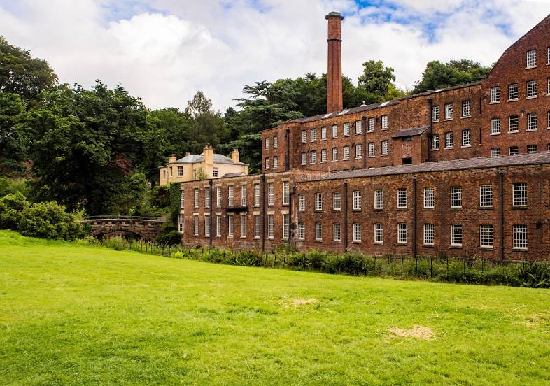
National Trust - Quarry Bank on the map, Salford, United Kingdom
Photo
Where is located National Trust - Quarry Bank
National Trust - Quarry Bank — local attraction, which is located at Styal Rd, Styal, Wilmslow SK9 4LA, United Kingdom and belongs to the category — $$. Average visitor rating for this place — 4.7 (according to 4288 ratings, information from open sources and relevant for 2022).
Exact location — National Trust - Quarry Bank, marked on the map with a red marker.
You can get directions to National Trust - Quarry Bank on the map from your location.
What else is interesting in Salford? You can see all the sights if you go to the city page.
Coordinates
National Trust - Quarry Bank, United Kingdom coordinates in decimal format: latitude — 53.343724603751504, longitude — -2.250161101636738. When converted to degrees, minutes, seconds National Trust - Quarry Bank has the following coordinates: 53°20′37.41 north latitude and -2°15′0.58 east longitude.
Nearby cities
The largest cities that are located nearby:
- Manchester — 3 km
- Blackburn — 32 km
- Huddersfield — 37 km
- Preston — 41 km
- Liverpool — 47 km
- Stoke-on-Trent — 54 km
- Sheffield — 55 km
- Rotherham — 61 km
- Telford — 90 km
- Sutton Coldfield — 106 km
- Dudley — 109 km
- West Bromwich — 109 km
- Birmingham — 114 km
- Leicester — 122 km
- Coventry — 130 km
- Worcester — 143 km
- Northampton — 167 km
- Sunderland — 167 km
- Cheltenham — 176 km
Distance to the capital
Distance to the capital (London) is about — 250 km.