
 Raab
Nettingsdorf
Peuerbach
Mödling
Gargellen
Weiler
Bad Goisern
Fernitz
Koblach
Schwaz
Wolkersdorf
Braunau am Inn
Lenzing
Eggenburg
Vienna
Raaba
Strasshof an der Nordbahn
Schlins
Amstetten
Raab
Nettingsdorf
Peuerbach
Mödling
Gargellen
Weiler
Bad Goisern
Fernitz
Koblach
Schwaz
Wolkersdorf
Braunau am Inn
Lenzing
Eggenburg
Vienna
Raaba
Strasshof an der Nordbahn
Schlins
Amstetten
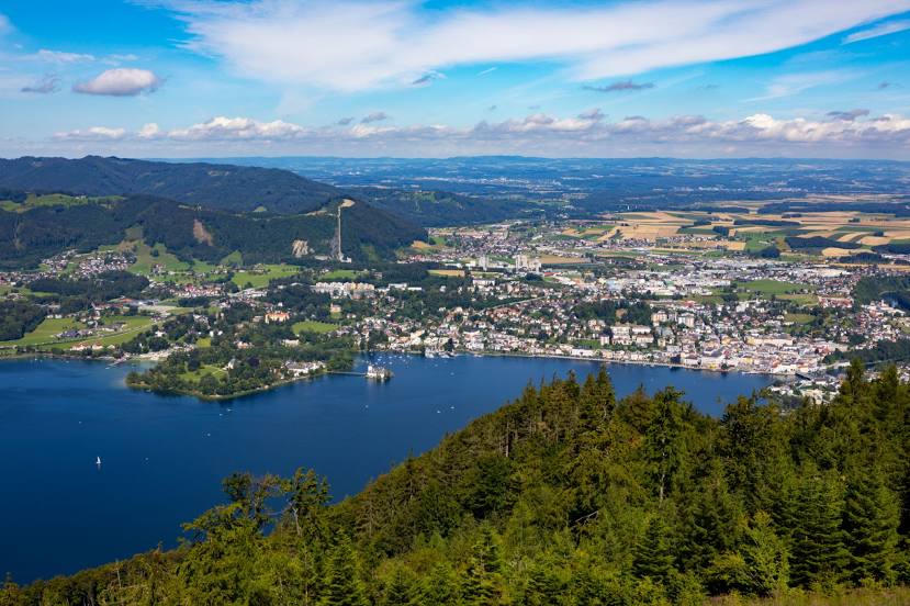
Gmunden on the map, Austria
Where is located Gmunden
Exact location — Gmunden, Gmunden District, Upper Austria, Austria, marked on the map with a red marker.
Coordinates
Gmunden, Austria coordinates in decimal format: latitude — 47.91839, longitude — 13.79933. When converted to degrees, minutes, seconds Gmunden has the following coordinates: 47°55′6.2 north latitude and 13°47′57.59 east longitude.
Population
Gmunden, Gmunden District, Upper Austria, Austria, according to our data the population is — 13,287 residents, which is about 0.1% of the total population of the country (Austria).
Comparison of the population on the graph:
Exact time
Time zone for this location Gmunden — UTC +2 Europe/Vienna. Exact time — sunday, 5 may 2024 year, 13 h. 57 minutes.
Sunrise and sunset
Gmunden, sunrise and sunset data for a date — sunday 12.05.2024.
| Sunrise | Sunset | Day (duration) |
|---|---|---|
| 05:33 -1 minute | 20:29 +2 minutes | 14 h. 54 minutes. +3 minutes |
You can control the scale of the map using the auxiliary tools to find out exactly where it is located Gmunden. When you change the scale of the map, the width of the ruler also changes (in kilometers and miles).
Nearby cities
The largest cities that are located nearby:
- Linz — 56 km
- Salzburg — 57 km
- Graz — 155 km
- Munich
 (Germany) — 165 km
 - Regensburg (Germany) — 173 km
- Innsbruck — 194 km
- Ingolstadt (Germany) — 197 km
- Pilsen
 (Czech Republic) — 204 km
 - Ljubljana
 (Slovenia) — 213 km
 - Augsburg (Germany) — 219 km
- Prague (Czech Republic) — 243 km
- Bratislava
 (Slovakia) — 245 km
 - Brno (Czech Republic) — 247 km
- Trieste
 (Italy) — 251 km
 - Nuremberg (Germany) — 259 km
- Fürth (Germany) — 265 km
- Erlangen (Germany) — 272 km
- Ulm (Germany) — 285 km
- Zagreb
 (Croatia) — 287 km
Distance to neighboring capitals:
- Ljubljana (Slovenia) — 214 km
- Prague (Czech Republic) — 244 km
- Bratislava (Slovakia) — 247 km
- Zagreb (Croatia) — 287 km
- Vaduz
 (Liechtenstein) — 333 km
 - Budapest
 (Hungary) — 395 km
 - Bern
 (Switzerland) — 490 km
 - Berlin (Germany) — 513 km
- Belgrade
 (Serbia) — 618 km
 - Rome (Italy) — 677 km
- Warsaw
 (Poland) — 703 km
 - Amsterdam
 (Netherlands) — 804 km
 - Paris
 (France) — 851 km
 - Copenhagen
 (Denmark) — 867 km
 - Bucharest
 (Romania) — 1023 km
 - Kyiv
 (Ukraine) — 1245 km
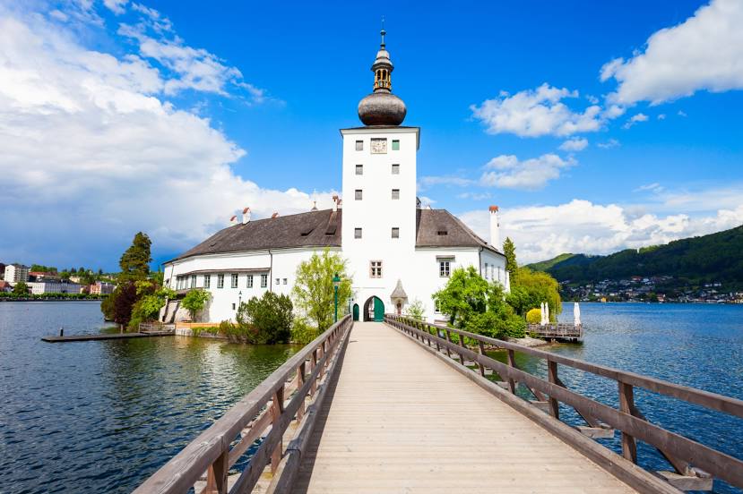
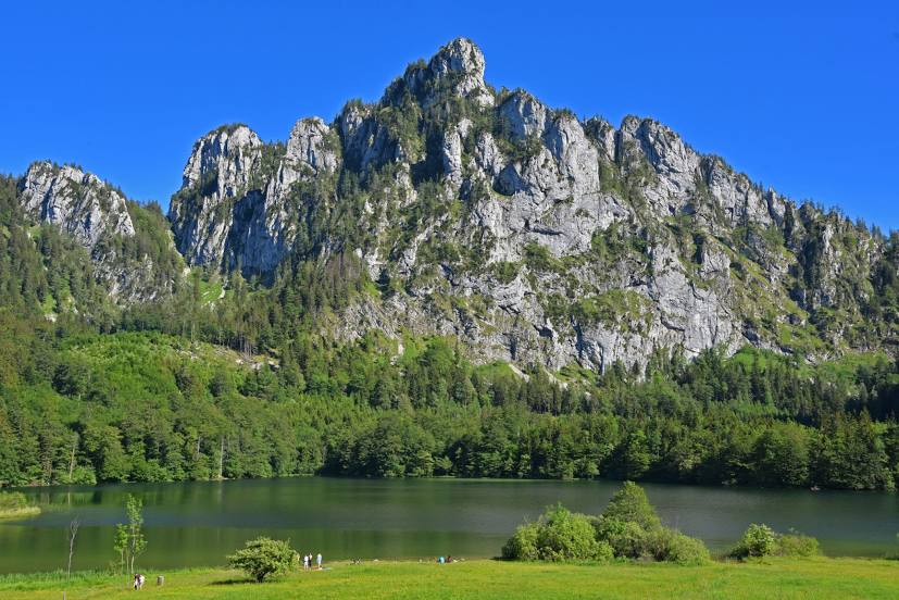
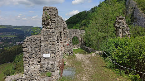
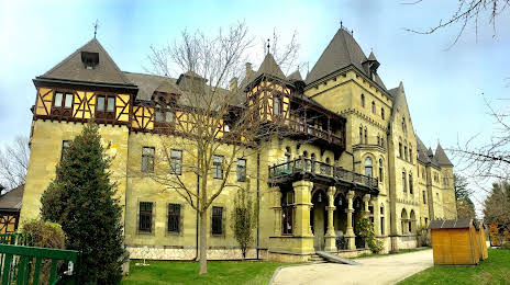
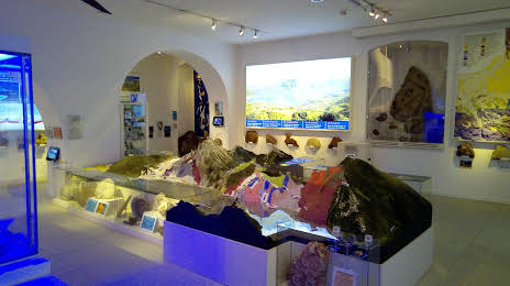
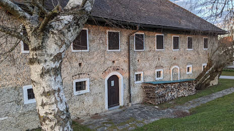
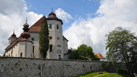
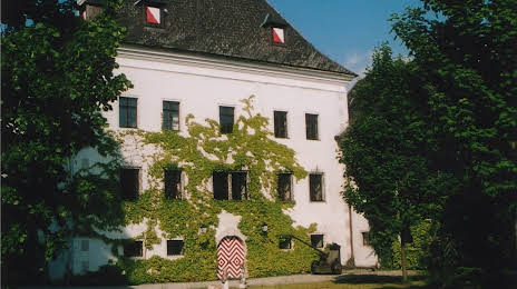
Attractions


Distance to the capital
Distance to the capital (Vienna) is about — 194 km.