 Rhosllanerchrugog
Llanfair Caereinion
Llanwrthwl
Abergynolwyn
Talsarnau
Scourie
Bucklebury
Otter Ferry
New Pitsligo
South Killingholme
Pelynt
Bratton Clovelly
Burstwick
Grafton Flyford
Longframlington
Breakish
Urchfont
Gamston
Figheldean
Rhosllanerchrugog
Llanfair Caereinion
Llanwrthwl
Abergynolwyn
Talsarnau
Scourie
Bucklebury
Otter Ferry
New Pitsligo
South Killingholme
Pelynt
Bratton Clovelly
Burstwick
Grafton Flyford
Longframlington
Breakish
Urchfont
Gamston
Figheldean
Walton-on-Thames on the map, United Kingdom
Where is located Walton-on-Thames
Exact location — Walton-on-Thames, Surrey, England, United Kingdom, marked on the map with a red marker.
Coordinates
Walton-on-Thames, United Kingdom coordinates in decimal format: latitude — 51.38847, longitude — -0.416969. When converted to degrees, minutes, seconds Walton-on-Thames has the following coordinates: 51°23′18.49 north latitude and -0°25′1.09 east longitude.
Population
Walton-on-Thames, Surrey, England, United Kingdom, according to our data the population is — 22,834 residents, which is about 0% of the total population of the country (United Kingdom).
Comparison of the population on the graph:
Exact time
Time zone for this location Walton-on-Thames — UTC +1 Europe/London. Exact time — monday, 5 may 2024 year, 02 h. 48 minutes.
Sunrise and sunset
Walton-on-Thames, sunrise and sunset data for a date — monday 13.05.2024.
| Sunrise | Sunset | Day (duration) |
|---|---|---|
| 05:16 -2 minutes | 20:39 +1 minute | 15 h. 24 minutes. +3 minutes |
You can control the scale of the map using the auxiliary tools to find out exactly where it is located Walton-on-Thames. When you change the scale of the map, the width of the ruler also changes (in kilometers and miles).
Nearby cities
The largest cities that are located nearby:
- Sutton — 16 km
- Slough — 18 km
- Watford — 30 km
- Crawley — 35 km
- Reading — 39 km
- Luton — 54 km
- Basildon — 66 km
- Gillingham — 67 km
- Oxford — 70 km
- Chelmsford — 72 km
- Portsmouth — 78 km
- Southend-on-Sea — 79 km
- Eastbourne — 85 km
- Southampton — 87 km
- Swindon — 95 km
- Cambridge — 97 km
- Northampton — 100 km
- Bournemouth — 126 km
- Cheltenham — 127 km
Distance to neighboring capitals:
- Brussels
 (Belgium) — 338 km
 - Paris
 (France) — 344 km
 - Paris (France) — 344 km
- Amsterdam
 (Netherlands) — 381 km
 - Dublin
 (Ireland) — 453 km
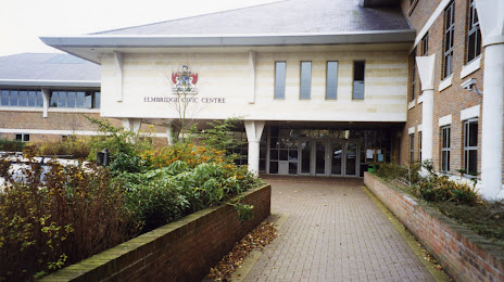
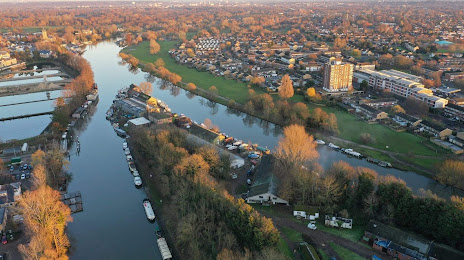
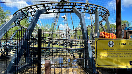
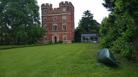
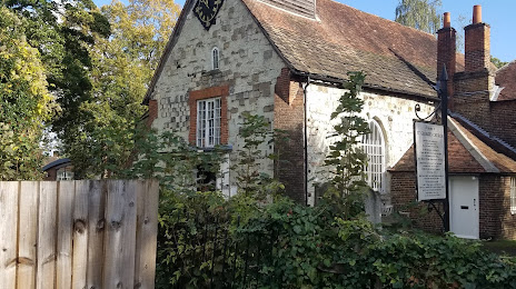
Attractions


Distance to the capital
Distance to the capital (London) is about — 24 km.