
 Staden
Geest-Gerompont-Petit-Rosière
Grote Hut
Sint-Job-in-'t-Goor
Deidenberg
De Pinte
Pussemange
Peruwelz
Barrière de Champlon
Staden
Geest-Gerompont-Petit-Rosière
Grote Hut
Sint-Job-in-'t-Goor
Deidenberg
De Pinte
Pussemange
Peruwelz
Barrière de Champlon
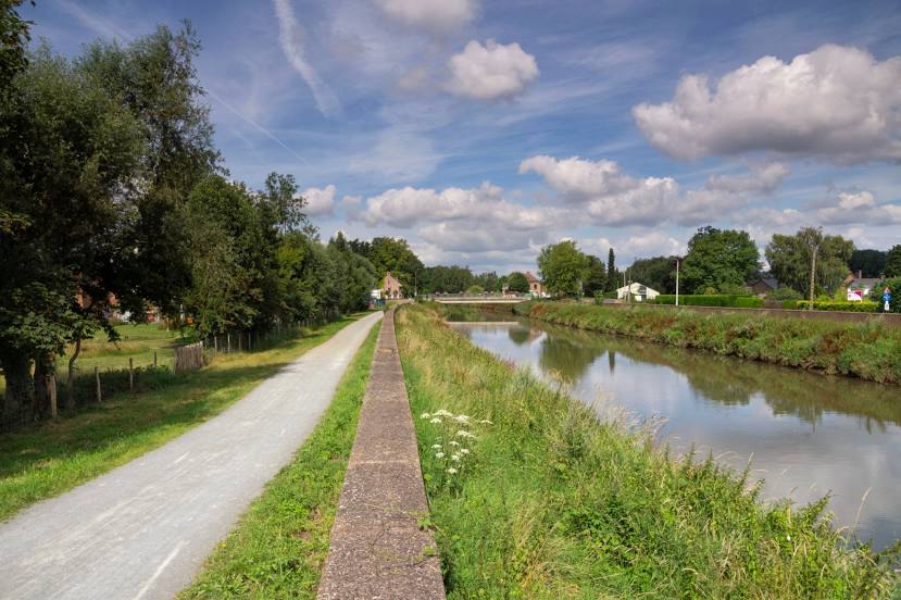
Dyle on the map, Grez-Doiceau, Belgium
Photo
Where is located Dyle
Dyle — local attraction, which is located at 25 m³/s and belongs to the category — -. Average visitor rating for this place — 4.3 (according to 48 ratings, information from open sources and relevant for 2022).
Exact location — Dyle, marked on the map with a red marker.
You can get directions to Dyle on the map from your location.
What else is interesting in Grez-Doiceau? You can see all the sights if you go to the city page.
Coordinates
Dyle, Belgium coordinates in decimal format: latitude — 50.74905656615348, longitude — 4.683173284789965. When converted to degrees, minutes, seconds Dyle has the following coordinates: 50°44′56.6 north latitude and 4°40′59.42 east longitude.
Nearby cities
The largest cities that are located nearby:
- Namur — 32 km
- Charleroi — 40 km
- Antwerp — 57 km
- Liège — 63 km
- Maastricht
 (Netherlands) — 70 km
 - Breda (Netherlands) — 94 km
- Eindhoven (Netherlands) — 94 km
- Tilburg (Netherlands) — 95 km
- Aachen
 (Germany) — 97 km
 - 's-Hertogenbosch (Netherlands) — 114 km
- Lille
 (France) — 116 km
 - Dordrecht (Netherlands) — 119 km
- Mönchengladbach (Germany) — 130 km
- Rotterdam (Netherlands) — 132 km
- Nijmegen (Netherlands) — 142 km
- Krefeld (Germany) — 146 km
- Zoetermeer (Netherlands) — 147 km
- Neuss (Germany) — 147 km
- The Hague (Netherlands) — 150 km
Distance to the capital
Distance to the capital (Brussels) is about — 26 km.