
 Staden
Geest-Gerompont-Petit-Rosière
Grote Hut
Sint-Job-in-'t-Goor
Deidenberg
De Pinte
Pussemange
Peruwelz
Barrière de Champlon
Staden
Geest-Gerompont-Petit-Rosière
Grote Hut
Sint-Job-in-'t-Goor
Deidenberg
De Pinte
Pussemange
Peruwelz
Barrière de Champlon
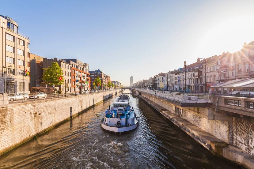
Brussels-Charleroi Canal on the map, La Louvière, Belgium
Photo
Where is located Brussels-Charleroi Canal
Brussels-Charleroi Canal — local attraction, which is located at 1827 and belongs to the category — -. Average visitor rating for this place — 4.3 (according to 126 ratings, information from open sources and relevant for 2022).
Exact location — Brussels-Charleroi Canal, marked on the map with a red marker.
You can get directions to Brussels-Charleroi Canal on the map from your location.
What else is interesting in La Louvière? You can see all the sights if you go to the city page.
Coordinates
Brussels-Charleroi Canal, Belgium coordinates in decimal format: latitude — 50.47824583295103, longitude — 4.147838374483692. When converted to degrees, minutes, seconds Brussels-Charleroi Canal has the following coordinates: 50°28′41.68 north latitude and 4°8′52.22 east longitude.
Nearby cities
The largest cities that are located nearby:
- Charleroi — 20 km
- Namur — 48 km
- Lille
 (France) — 81 km
 - Antwerp — 84 km
- Liège — 99 km
- Maastricht
 (Netherlands) — 113 km
 - Breda (Netherlands) — 129 km
- Reims (France) — 135 km
- Tilburg (Netherlands) — 135 km
- Aachen
 (Germany) — 137 km
 - Eindhoven (Netherlands) — 139 km
- Amiens (France) — 149 km
- Dordrecht (Netherlands) — 152 km
- 's-Hertogenbosch (Netherlands) — 155 km
- Rotterdam (Netherlands) — 162 km
- Mönchengladbach (Germany) — 175 km
- Zoetermeer (Netherlands) — 177 km
- The Hague (Netherlands) — 177 km
- Nijmegen (Netherlands) — 186 km
Distance to the capital
Distance to the capital (Brussels) is about — 44 km.