Amstetten — Lassing
Amstetten — Schladming
Amstetten — Gitthof
Amstetten — Gargellen
Amstetten — Mönchdorf
Amstetten — Hainersdorf
Amstetten — Atzing
Amstetten — Franzensdorf
Amstetten — Mainsdorf
Amstetten — Armschlag
Amstetten — Hartl
Amstetten — Zell am See Airport
Amstetten — Thürnbuch
Amstetten — Gemeinde Aschau im Zillertal
Amstetten — Weiler
Amstetten — Kaindorf
Amstetten — Breitenfeld
Amstetten — Neuoberhausen
Amstetten — Langwiesen
Öhling
Rudersberg
Strengberg
Haag
Seggau
Rems
Ennsdorf
Enns
Kristein
Samesleiten
Asten
Taunleiten
Ipfdorf
Ölkam
Ebelsberg
Ansfelden
Rapperswinkel
Kremsdorf
Hasenufer
Pucking
Allhaming
Grassing
Weyerbach
Sipbachzell
Giering
Sattledt
Maidorf
Oberaustall
Littring
Eberstalzell
Upper Austria
Mühltal
Vorchdorf
Feldham
Unterhörbach
Lindach
Roitham
Hildprechting
Sternberg
Rittham
Kleinreith
Pinsdorf
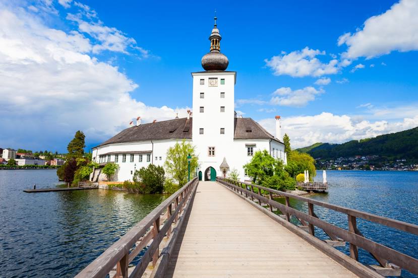
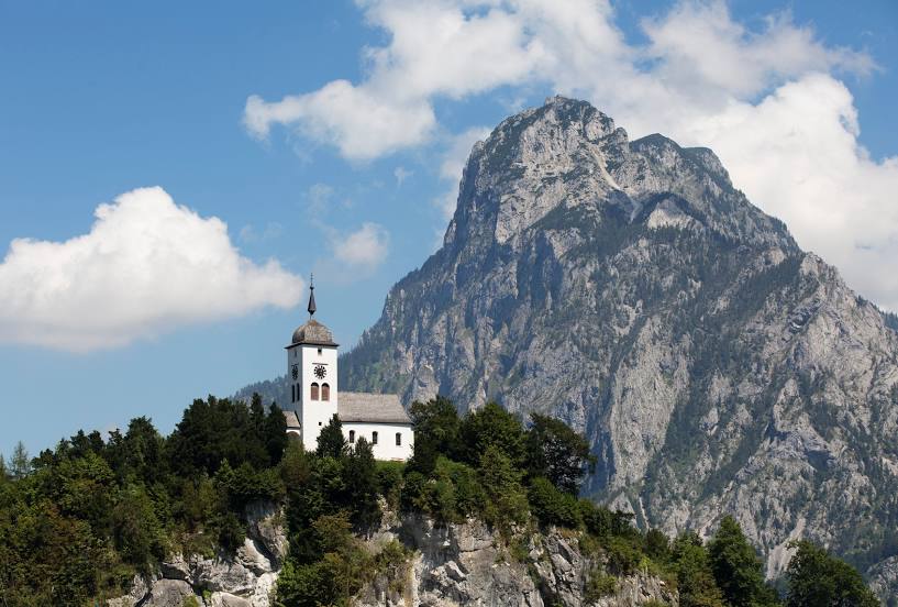
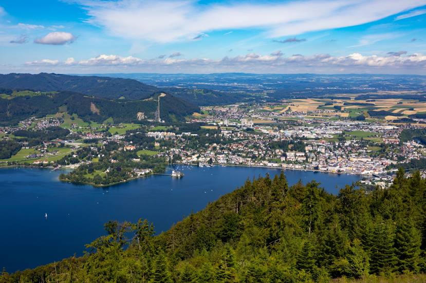
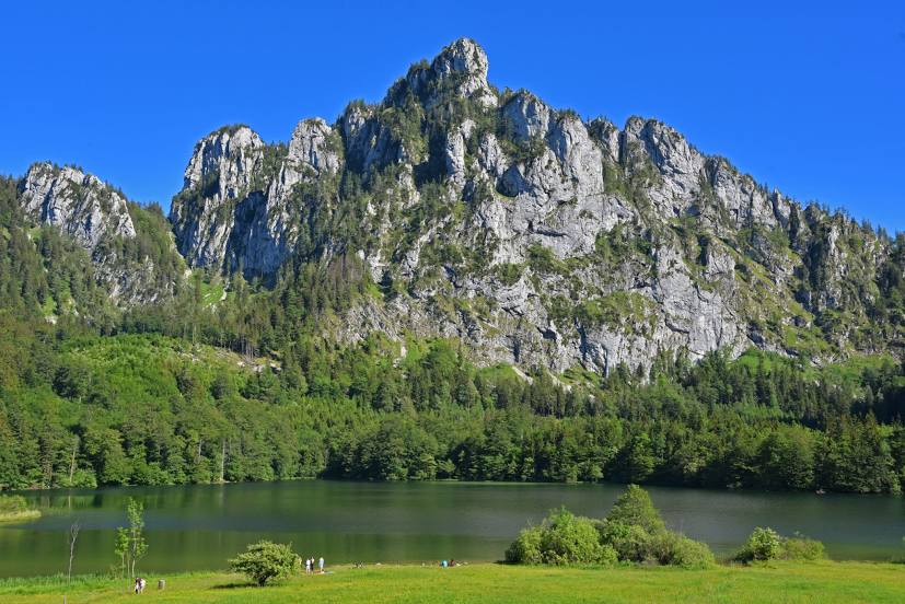
Amstetten — Gmunden distance, route on the map
Distance by car
Distance between Amstetten, Lower Austria, Austria and Gmunden, Upper Austria, Austria by car is — km, or miles. To travel this distance by car, you need minute, or h.
Route on the map, driving directions
Car route Amstetten — Gmunden was created automatically. The road on the map is shown as a blue line. By moving the markers, you can create a new route through the points you need.
Passing cities through which the car route passes: Zeillern, Öhling, Rudersberg, Strengberg, Haag, Seggau, Rems, Ennsdorf, Enns, Kristein, Samesleiten, Asten, Taunleiten, Ipfdorf, Ölkam, Ebelsberg, Ansfelden, Rapperswinkel, Kremsdorf, Hasenufer, Pucking, Allhaming, Grassing, Weyerbach, Sipbachzell, Giering, Sattledt, Maidorf, Oberaustall, Littring, Eberstalzell, Upper Austria, Mühltal, Vorchdorf, Feldham, Unterhörbach, Lindach, Roitham, Hildprechting, Sternberg, Rittham, Kleinreith, Pinsdorf.
Distance by plane
If you decide to take a trip Amstetten Gmunden by plane, then you have to fly the distance — 83 km or 51 miles. It is marked on the map with a gray line (between two points in a straight line).
Flight time
Estimated flight time Amstetten Gmunden by plane at cruising speed 750 km / h will be — 6 min.
Direction of movement
Austria, Amstetten — right-hand traffic. Austria, Gmunden — right-hand traffic.
Difference in time
Amstetten and Gmunden are in the same time zone. Between them there is no time difference (UTC +2 Europe/Vienna).
Interesting Facts
Information on alternative ways to get to your destination.
The length of this distance is about 0.2% of the total length of the equator.
The percentage of the population is clearly shown in the graph:
Amstetten — 22,832, Gmunden — 13,287 residents (less by 9,545).
The cost of travel
Calculate the cost of the trip yourself using the fuel consumption calculator, changing the data in the table.