
 Behamberg
Spielberg
Knittelfeld
Rath
Gröbming
Going am Wilden Kaiser
Mariazell
Graben
Bad Vöslau
Himberg
Zell am See
Wieselburg
Hirtenberg
Taufkirchen an der Pram
Mieming
Gloggnitz
Lilienfeld
Kirchberg in Tirol
Oberwaltersdorf
Behamberg
Spielberg
Knittelfeld
Rath
Gröbming
Going am Wilden Kaiser
Mariazell
Graben
Bad Vöslau
Himberg
Zell am See
Wieselburg
Hirtenberg
Taufkirchen an der Pram
Mieming
Gloggnitz
Lilienfeld
Kirchberg in Tirol
Oberwaltersdorf
Klosterneuburg on the map, Austria
Where is located Klosterneuburg
Exact location — Klosterneuburg, Wien-Umgebung District, Lower Austria, Austria, marked on the map with a red marker.
Coordinates
Klosterneuburg, Austria coordinates in decimal format: latitude — 48.3098656, longitude — 16.323772. When converted to degrees, minutes, seconds Klosterneuburg has the following coordinates: 48°18′35.52 north latitude and 16°19′25.58 east longitude.
Population
Klosterneuburg, Wien-Umgebung District, Lower Austria, Austria, according to our data the population is — 24,843 residents, which is about 0.3% of the total population of the country (Austria).
Comparison of the population on the graph:
Exact time
Time zone for this location Klosterneuburg — UTC +2 Europe/Vienna. Exact time — wednesday, 5 may 2024 year, 20 h. 12 minutes.
Sunrise and sunset
Klosterneuburg, sunrise and sunset data for a date — wednesday 15.05.2024.
| Sunrise | Sunset | Day (duration) |
|---|---|---|
| 05:18 -1 minute | 20:24 +2 minutes | 15 h. 6 minutes. +3 minutes |
You can control the scale of the map using the auxiliary tools to find out exactly where it is located Klosterneuburg. When you change the scale of the map, the width of the ruler also changes (in kilometers and miles).
Nearby cities
The largest cities that are located nearby:
- Bratislava
 (Slovakia) — 61 km
 - Brno
 (Czech Republic) — 100 km
 - Győr
 (Hungary) — 120 km
 - Linz — 150 km
- Graz — 152 km
- Olomouc (Czech Republic) — 157 km
- Székesfehérvár (Hungary) — 201 km
- Ostrava (Czech Republic) — 217 km
- Budapest (Hungary) — 222 km
- Prague (Czech Republic) — 237 km
- Salzburg — 249 km
- Rybnik
 (Poland) — 253 km
 - Bielsko-Biala (Poland) — 257 km
- Pilsen (Czech Republic) — 263 km
- Walbrzych (Poland) — 274 km
- Gliwice (Poland) — 275 km
- Zagreb
 (Croatia) — 277 km
 - Ruda Slaska (Poland) — 280 km
- Zabrze (Poland) — 283 km
Distance to neighboring capitals:
- Bratislava (Slovakia) — 61 km
- Budapest (Hungary) — 222 km
- Prague (Czech Republic) — 239 km
- Zagreb (Croatia) — 279 km
- Ljubljana
 (Slovenia) — 286 km
 - Belgrade
 (Serbia) — 503 km
 - Berlin
 (Germany) — 512 km
 - Vaduz
 (Liechtenstein) — 525 km
 - Warsaw (Poland) — 549 km
- Bern
 (Switzerland) — 682 km
 - Rome
 (Italy) — 773 km
 - Copenhagen
 (Denmark) — 858 km
 - Bucharest
 (Romania) — 865 km
 - Amsterdam
 (Netherlands) — 927 km
 - Paris
 (France) — 1028 km
 - Kyiv
 (Ukraine) — 1054 km
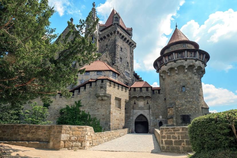
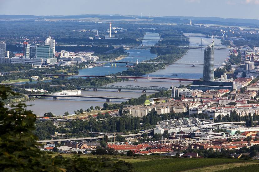
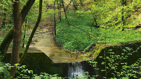
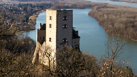
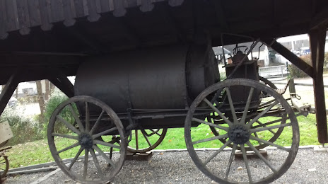
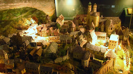
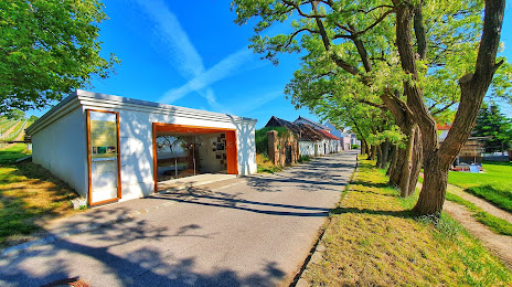
Attractions


Distance to the capital
Distance to the capital (Vienna) is about — 12 km.