
 Alkoven
Ried im Innkreis
Gramatneusiedl
Brixlegg
Bisamberg
Wolfsberg
Reutte
Dietach
Zams
Vöcklabruck
Saalbach-Hinterglemm
Mondsee
Klosterneuburg
Jennersdorf
Bleiberg-Kreuth
Feistritz im Rosental
Volders
Frohnleiten
Biedermannsdorf
Alkoven
Ried im Innkreis
Gramatneusiedl
Brixlegg
Bisamberg
Wolfsberg
Reutte
Dietach
Zams
Vöcklabruck
Saalbach-Hinterglemm
Mondsee
Klosterneuburg
Jennersdorf
Bleiberg-Kreuth
Feistritz im Rosental
Volders
Frohnleiten
Biedermannsdorf
Knittelfeld on the map, Austria
Where is located Knittelfeld
Exact location — Knittelfeld, Murtal District, Styria, Austria, marked on the map with a red marker.
Coordinates
Knittelfeld, Austria coordinates in decimal format: latitude — 47.21595, longitude — 14.82719. When converted to degrees, minutes, seconds Knittelfeld has the following coordinates: 47°12′57.42 north latitude and 14°49′37.88 east longitude.
Population
Knittelfeld, Murtal District, Styria, Austria, according to our data the population is — 12,704 residents, which is about 0.1% of the total population of the country (Austria).
Comparison of the population on the graph:
Exact time
Time zone for this location Knittelfeld — UTC +2 Europe/Vienna. Exact time — friday, 5 may 2024 year, 23 h. 29 minutes.
Sunrise and sunset
Knittelfeld, sunrise and sunset data for a date — friday 17.05.2024.
| Sunrise | Sunset | Day (duration) |
|---|---|---|
| 05:25 -1 minute | 20:28 +1 minute | 15 h. 6 minutes. +2 minutes |
You can control the scale of the map using the auxiliary tools to find out exactly where it is located Knittelfeld. When you change the scale of the map, the width of the ruler also changes (in kilometers and miles).
Nearby cities
The largest cities that are located nearby:
- Graz — 49 km
- Linz — 127 km
- Ljubljana
 (Slovenia) — 130 km
 - Salzburg — 147 km
- Zagreb
 (Croatia) — 179 km
 - Trieste
 (Italy) — 191 km
 - Bratislava
 (Slovakia) — 197 km
 - Rijeka (Croatia) — 211 km
- Győr
 (Hungary) — 217 km
 - Brno
 (Czech Republic) — 254 km
 - Innsbruck — 257 km
- Munich
 (Germany) — 260 km
 - Székesfehérvár (Hungary) — 270 km
- Venice (Italy) — 277 km
- Regensburg (Germany) — 280 km
- Pécs (Hungary) — 290 km
- Pilsen (Czech Republic) — 298 km
- Ingolstadt (Germany) — 301 km
- Trento (Italy) — 311 km
Distance to neighboring capitals:
- Ljubljana (Slovenia) — 131 km
- Zagreb (Croatia) — 179 km
- Bratislava (Slovakia) — 200 km
- Budapest (Hungary) — 319 km
- Prague (Czech Republic) — 319 km
- Vaduz
 (Liechtenstein) — 401 km
 - Belgrade
 (Serbia) — 511 km
 - Bern
 (Switzerland) — 560 km
 - Berlin (Germany) — 599 km
- Rome (Italy) — 619 km
- Warsaw
 (Poland) — 713 km
 - Amsterdam
 (Netherlands) — 914 km
 - Bucharest
 (Romania) — 926 km
 - Paris
 (France) — 944 km
 - Copenhagen
 (Denmark) — 954 km
 - Kyiv
 (Ukraine) — 1202 km
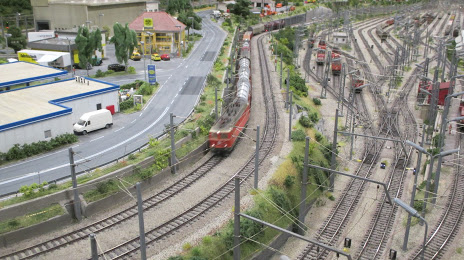
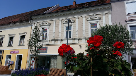
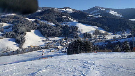
Attractions
Distance to the capital
Distance to the capital (Vienna) is about — 160 km.