 London
Dover
London
Preston
Holyhead
Dover
Stone House
England
Bracknell Forest
Linkenholt
Kinlet
Little Somborne
Fishlake
Mortehoe
Upper Helmsley
Llanllwchaiarn
Kirby Wiske
Merthyr Cynog
Llanerfyl
London
Dover
London
Preston
Holyhead
Dover
Stone House
England
Bracknell Forest
Linkenholt
Kinlet
Little Somborne
Fishlake
Mortehoe
Upper Helmsley
Llanllwchaiarn
Kirby Wiske
Merthyr Cynog
Llanerfyl
Gravesend on the map, United Kingdom
Where is located Gravesend
Exact location — Gravesend, Kent, England, United Kingdom, marked on the map with a red marker.
Coordinates
Gravesend, United Kingdom coordinates in decimal format: latitude — 51.441884, longitude — 0.370759. When converted to degrees, minutes, seconds Gravesend has the following coordinates: 51°26′30.78 north latitude and 0°22′14.73 east longitude.
Population
Gravesend, Kent, England, United Kingdom, according to our data the population is — 54,263 residents, which is about 0.1% of the total population of the country (United Kingdom).
Comparison of the population on the graph:
Exact time
Time zone for this location Gravesend — UTC +1 Europe/London. Exact time — saturday, 4 april 2024 year, 04 h. 00 minutes.
Sunrise and sunset
Gravesend, sunrise and sunset data for a date — saturday 27.04.2024.
| Sunrise | Sunset | Day (duration) |
|---|---|---|
| 05:40 -2 minutes | 20:11 +2 minutes | 14 h. 30 minutes. +4 minutes |
You can control the scale of the map using the auxiliary tools to find out exactly where it is located Gravesend. When you change the scale of the map, the width of the ruler also changes (in kilometers and miles).
Nearby cities
The largest cities that are located nearby:
- Gillingham — 14 km
- Basildon — 17 km
- Southend-on-Sea — 26 km
- Chelmsford — 33 km
- Sutton — 40 km
- Crawley — 53 km
- Watford — 57 km
- Slough — 67 km
- Luton — 72 km
- Eastbourne — 75 km
- Cambridge — 86 km
- Ipswich — 86 km
- Reading — 93 km
- Oxford — 117 km
- Portsmouth — 123 km
- Northampton — 123 km
- Southampton — 137 km
- Norwich — 145 km
- Swindon — 148 km
Distance to neighboring capitals:
- Brussels
 (Belgium) — 285 km
 - Paris
 (France) — 320 km
 - Paris (France) — 320 km
- Amsterdam
 (Netherlands) — 327 km
 - Dublin
 (Ireland) — 497 km
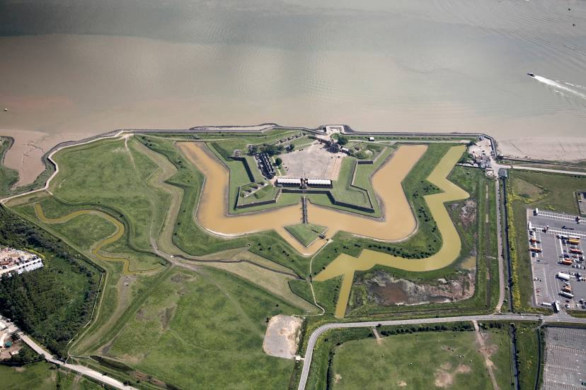
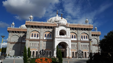
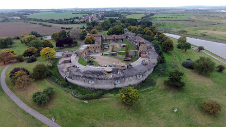
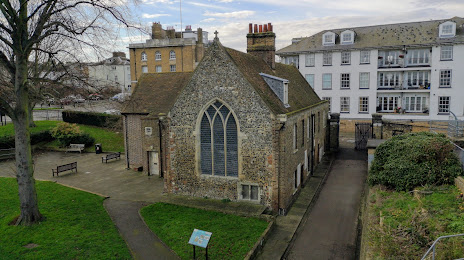
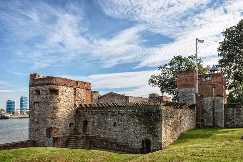
Attractions


Distance to the capital
Distance to the capital (London) is about — 35 km.