 Lisburn
Yeovil
Alloa
Newcastle upon Tyne
Cardiff
Scotland
North Yorkshire
Wales
London
Flintshire
Trent
England
Newcastle upon Tyne
Bath & North East Somerset
Gravesend
United Kingdom
Romsey
Birmingham Airport
Robin Hood Airport
Lisburn
Yeovil
Alloa
Newcastle upon Tyne
Cardiff
Scotland
North Yorkshire
Wales
London
Flintshire
Trent
England
Newcastle upon Tyne
Bath & North East Somerset
Gravesend
United Kingdom
Romsey
Birmingham Airport
Robin Hood Airport
Holyhead on the map, United Kingdom
Where is located Holyhead
Exact location — Holyhead, Isle of Anglesey, Wales, United Kingdom, marked on the map with a red marker.
Coordinates
Holyhead, United Kingdom coordinates in decimal format: latitude — 53.309441, longitude — -4.633038. When converted to degrees, minutes, seconds Holyhead has the following coordinates: 53°18′33.99 north latitude and -4°37′58.94 east longitude.
Population
Holyhead, Isle of Anglesey, Wales, United Kingdom, according to our data the population is — 11,362 residents, which is about 0% of the total population of the country (United Kingdom).
Comparison of the population on the graph:
Exact time
Time zone for this location Holyhead — UTC +1 Europe/London. Exact time — saturday, 4 april 2024 year, 03 h. 02 minutes.
Sunrise and sunset
Holyhead, sunrise and sunset data for a date — saturday 27.04.2024.
| Sunrise | Sunset | Day (duration) |
|---|---|---|
| 05:55 -2 minutes | 20:36 +1 minute | 14 h. 42 minutes. +3 minutes |
You can control the scale of the map using the auxiliary tools to find out exactly where it is located Holyhead. When you change the scale of the map, the width of the ruler also changes (in kilometers and miles).
Nearby cities
The largest cities that are located nearby:
- Dublin
 (Ireland) — 107 km
 - Liverpool — 109 km
- Preston — 136 km
- Blackburn — 148 km
- Manchester — 158 km
- Telford — 162 km
- Belfast — 165 km
- Stoke-on-Trent — 167 km
- Huddersfield — 190 km
- Dudley — 193 km
- West Bromwich — 198 km
- Worcester — 205 km
- Sutton Coldfield — 206 km
- Birmingham — 206 km
- Sheffield — 209 km
- Rotherham — 216 km
- Coventry — 233 km
- Cheltenham — 234 km
- Leicester — 246 km
Distance to neighboring capitals:
- Dublin (Ireland) — 108 km
- Amsterdam
 (Netherlands) — 648 km
 - Brussels
 (Belgium) — 672 km
 - Paris
 (France) — 695 km
 - Paris (France) — 695 km
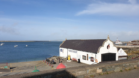
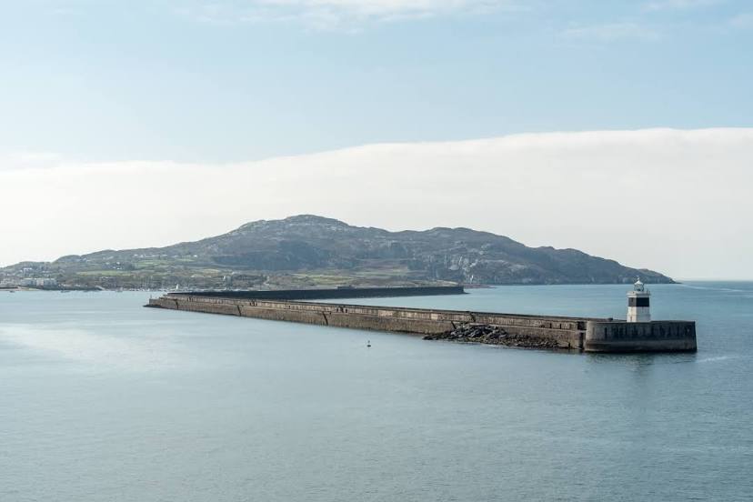
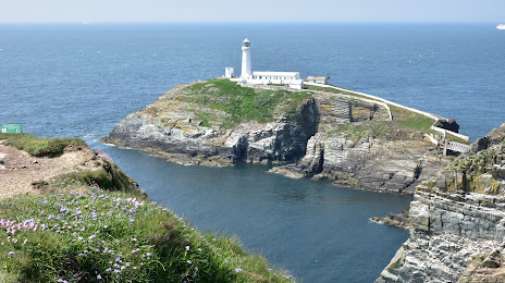
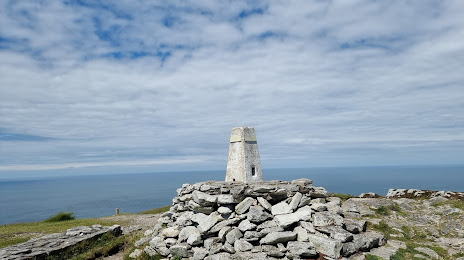
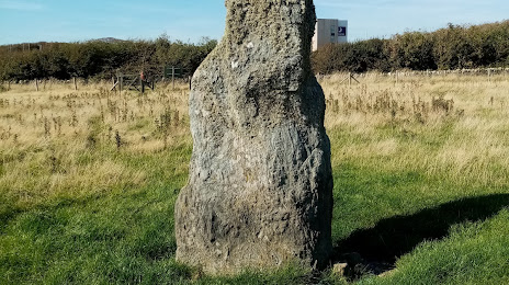
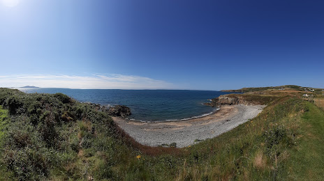
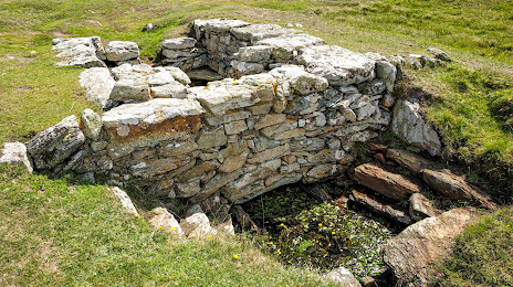
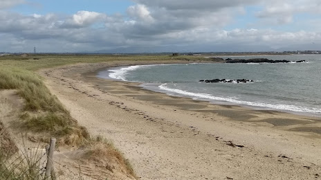
Attractions


Distance to the capital
Distance to the capital (London) is about — 365 km.