Folkestone — Exeter
Folkestone — Halifax
Folkestone — Falmouth
Folkestone — Preston Candover
Folkestone — Eggleston
Folkestone — Grantham
Folkestone — Craigavon
Folkestone — Brightwell Baldwin
Folkestone — Gamston
Folkestone — Whitehaven
Folkestone — Sunninghill
Folkestone — Bushmills
Folkestone — Talmine
Folkestone — Oxford
Folkestone — Oxford
Folkestone — Launceston
Folkestone — Tamworth
Folkestone — Poole
Folkestone — Romford
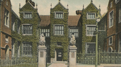
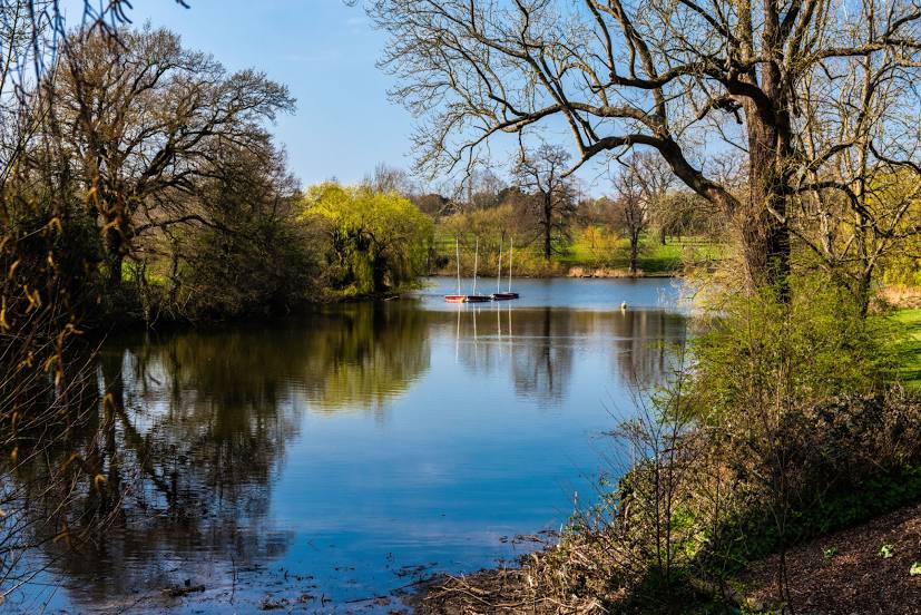
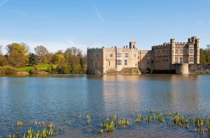
Folkestone — Maidstone distance, route on the map
Distance by car
Distance between Folkestone, England, United Kingdom and Maidstone, England, United Kingdom by car is — km, or miles. To travel this distance by car, you need minute, or h.
Route on the map, driving directions
Car route Folkestone — Maidstone was created automatically. The road on the map is shown as a blue line. By moving the markers, you can create a new route through the points you need.
Passing cities through which the car route passes: Ashford, Lenham, Harrietsham.
Distance by plane
If you decide to take a trip Folkestone Maidstone by plane, then you have to fly the distance — 50 km or 31 miles. It is marked on the map with a gray line (between two points in a straight line).
Flight time
Estimated flight time Folkestone Maidstone by plane at cruising speed 750 km / h will be — 4 min.
Direction of movement
United Kingdom, Folkestone — left-hand traffic. United Kingdom, Maidstone — left-hand traffic.
Difference in time
Folkestone and Maidstone are in the same time zone. Between them there is no time difference (UTC +1 Europe/London).
Interesting Facts
Information on alternative ways to get to your destination.
The length of this distance is about 0.1% of the total length of the equator.
The percentage of the population is clearly shown in the graph:
Folkestone — 45,992 (less by 44,902), Maidstone — 90,894 residents.
The cost of travel
Calculate the cost of the trip yourself using the fuel consumption calculator, changing the data in the table.