 Milford on Sea
Canterbury
Olney
Cheshunt
Brighton
Deal
Edinburgh
Winsor
England
Warrington
Orkney
Wylam
Golborne
St Ives
Cheltenham
Stokesley
Middlesbrough
Guay
United Kingdom
Milford on Sea
Canterbury
Olney
Cheshunt
Brighton
Deal
Edinburgh
Winsor
England
Warrington
Orkney
Wylam
Golborne
St Ives
Cheltenham
Stokesley
Middlesbrough
Guay
United Kingdom
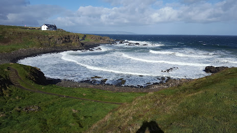
Coleraine on the map, United Kingdom
Where is located Coleraine
Exact location — Coleraine, Coleraine, Northern Ireland, United Kingdom, marked on the map with a red marker.
Coordinates
Coleraine, United Kingdom coordinates in decimal format: latitude — 55.1325802, longitude — -6.6646102. When converted to degrees, minutes, seconds Coleraine has the following coordinates: 55°7′57.29 north latitude and -6°39′52.6 east longitude.
Population
Coleraine, Coleraine, Northern Ireland, United Kingdom, according to our data the population is — 25,681 residents, which is about 0% of the total population of the country (United Kingdom).
Comparison of the population on the graph:
Exact time
Time zone for this location Coleraine — UTC +1 Europe/London. Exact time — friday, 4 april 2024 year, 10 h. 01 minute.
Sunrise and sunset
Coleraine, sunrise and sunset data for a date — friday 26.04.2024.
| Sunrise | Sunset | Day (duration) |
|---|---|---|
| 05:59 -3 minutes | 20:48 +2 minutes | 14 h. 48 minutes. +5 minutes |
You can control the scale of the map using the auxiliary tools to find out exactly where it is located Coleraine. When you change the scale of the map, the width of the ruler also changes (in kilometers and miles).
Nearby cities
The largest cities that are located nearby:
- Belfast — 76 km
- Glasgow — 170 km
- Dublin
 (Ireland) — 199 km
 - Edinburgh — 234 km
- Preston — 300 km
- Liverpool — 308 km
- Blackburn — 313 km
- Sunderland — 337 km
- Manchester — 344 km
- Huddersfield — 360 km
- Cork (Ireland) — 379 km
- Stoke-on-Trent — 380 km
- Telford — 392 km
- Sheffield — 394 km
- Rotherham — 397 km
- Dudley — 423 km
- West Bromwich — 427 km
- Sutton Coldfield — 431 km
- Birmingham — 435 km
Distance to neighboring capitals:
- Dublin (Ireland) — 200 km
- Amsterdam
 (Netherlands) — 819 km
 - Brussels
 (Belgium) — 876 km
 - Paris
 (France) — 931 km
 - Paris (France) — 931 km
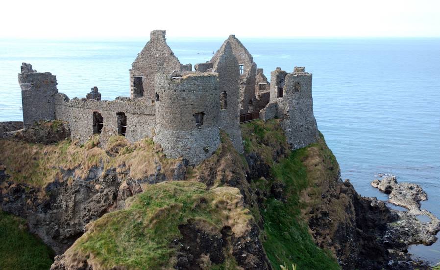
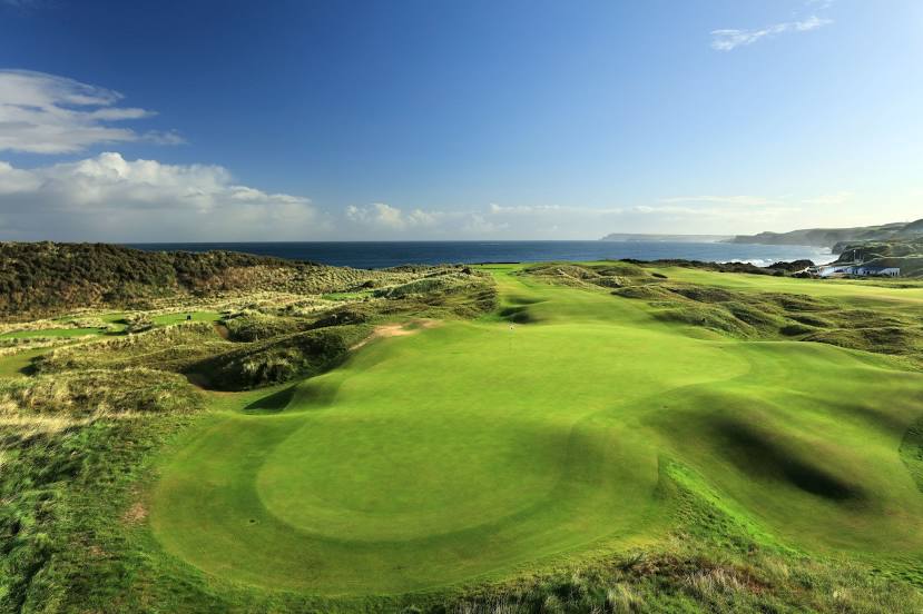
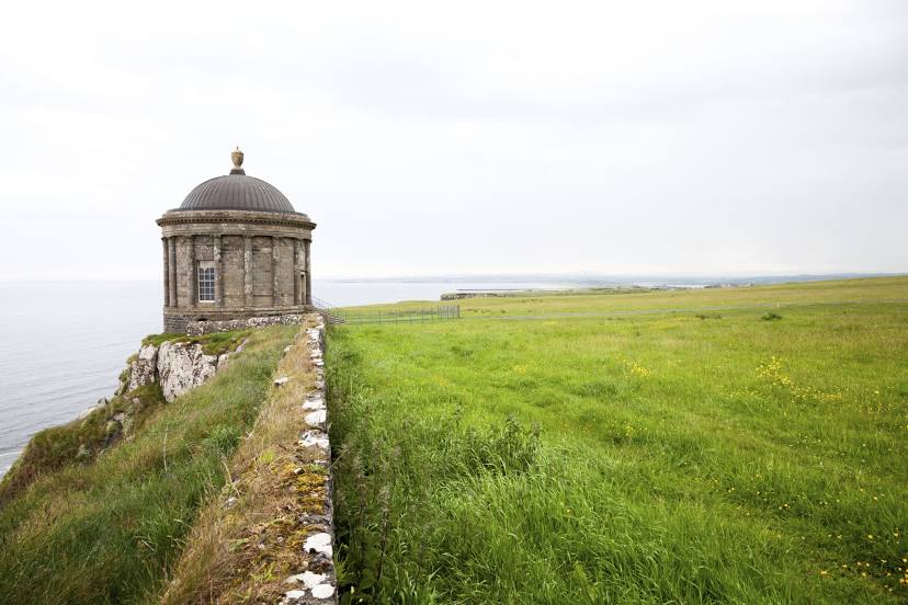
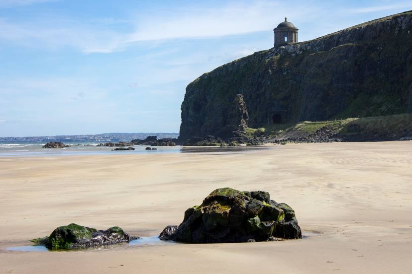
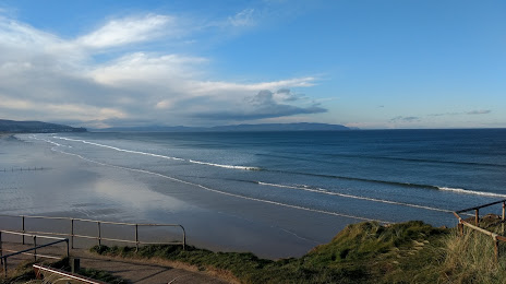
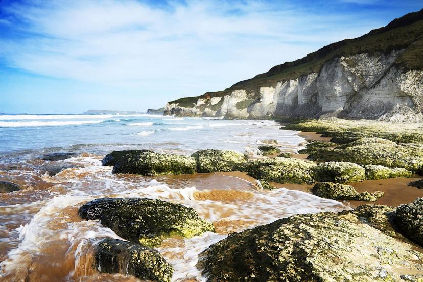
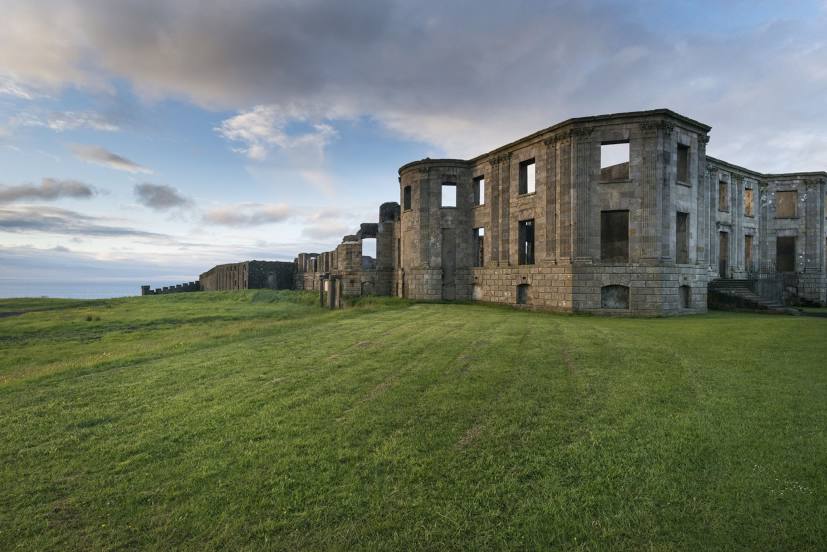
Attractions


Distance to the capital
Distance to the capital (London) is about — 592 km.