 Portmeirion
Blackburn
Forth
Saint Albans
Sutton
Lakenheath
Newbiggin-on-Lune
Ashford
Bury Saint Edmunds
Bathampton
Alvington
Ruabon
England
Winsor
Edinburgh
Deal
Brighton
Cheshunt
Olney
Portmeirion
Blackburn
Forth
Saint Albans
Sutton
Lakenheath
Newbiggin-on-Lune
Ashford
Bury Saint Edmunds
Bathampton
Alvington
Ruabon
England
Winsor
Edinburgh
Deal
Brighton
Cheshunt
Olney
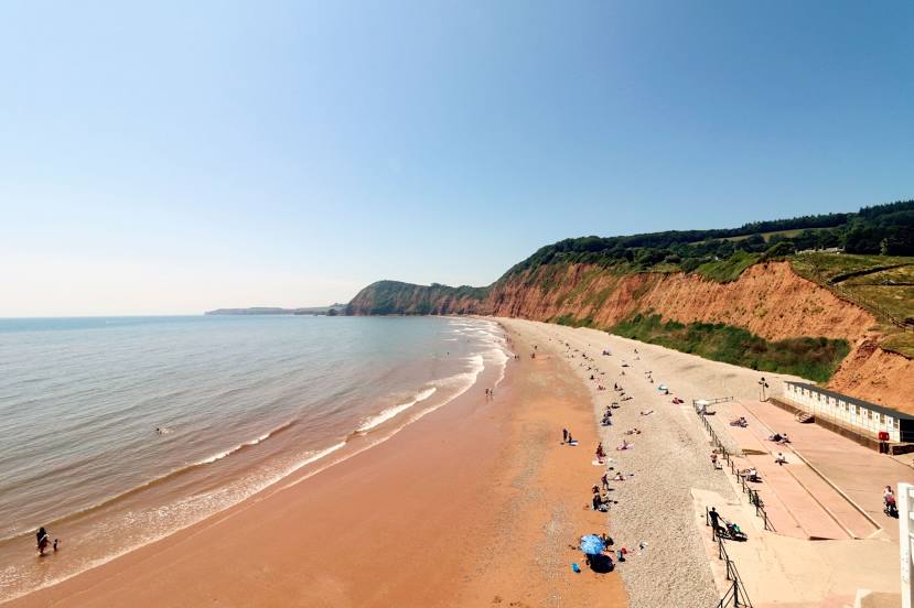
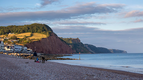
Sidmouth on the map, United Kingdom
Where is located Sidmouth
Exact location — Sidmouth, Devon, England, United Kingdom, marked on the map with a red marker.
Coordinates
Sidmouth, United Kingdom coordinates in decimal format: latitude — 50.67865, longitude — -3.23756. When converted to degrees, minutes, seconds Sidmouth has the following coordinates: 50°40′43.14 north latitude and -3°14′15.22 east longitude.
Population
Sidmouth, Devon, England, United Kingdom, according to our data the population is — 11,853 residents, which is about 0% of the total population of the country (United Kingdom).
Comparison of the population on the graph:
Exact time
Time zone for this location Sidmouth — UTC +1 Europe/London. Exact time — sunday, 4 april 2024 year, 03 h. 09 minutes.
Sunrise and sunset
Sidmouth, sunrise and sunset data for a date — sunday 28.04.2024.
| Sunrise | Sunset | Day (duration) |
|---|---|---|
| 05:55 -2 minutes | 20:25 +2 minutes | 14 h. 30 minutes. +4 minutes |
You can control the scale of the map using the auxiliary tools to find out exactly where it is located Sidmouth. When you change the scale of the map, the width of the ruler also changes (in kilometers and miles).
Nearby cities
The largest cities that are located nearby:
- Exeter — 21 km
- Bournemouth — 95 km
- Bristol — 97 km
- Southampton — 130 km
- Swindon — 139 km
- Portsmouth — 151 km
- Cheltenham — 156 km
- Reading — 178 km
- Oxford — 180 km
- Worcester — 181 km
- Slough — 204 km
- Crawley — 217 km
- Dudley — 217 km
- Birmingham — 219 km
- West Bromwich — 220 km
- Watford — 223 km
- Sutton — 223 km
- Coventry — 223 km
- Telford — 227 km
Distance to neighboring capitals:
- Dublin
 (Ireland) — 362 km
 - Paris
 (France) — 450 km
 - Paris (France) — 450 km
- Brussels
 (Belgium) — 534 km
 - Amsterdam
 (Netherlands) — 593 km
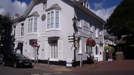
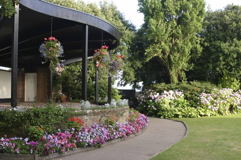
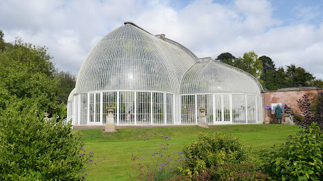
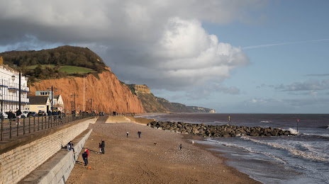
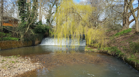
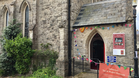
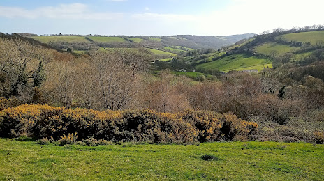
Attractions


Distance to the capital
Distance to the capital (London) is about — 236 km.