West Bridgford — Skegness
West Bridgford — Aberchirder
West Bridgford — Warrington
West Bridgford — Alderton
West Bridgford — Barking
West Bridgford — Llansadwrn
West Bridgford — Severn Beach
West Bridgford — High Wycombe
West Bridgford — Torthorwald
West Bridgford — London
West Bridgford — Torquay
West Bridgford — Midhurst
West Bridgford — Thirsk
West Bridgford — Bournemouth
West Bridgford — Barnstaple
West Bridgford — Rhosllanerchrugog
West Bridgford — Cymmer
West Bridgford — Papil
West Bridgford — Bolnhurst
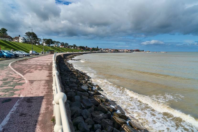
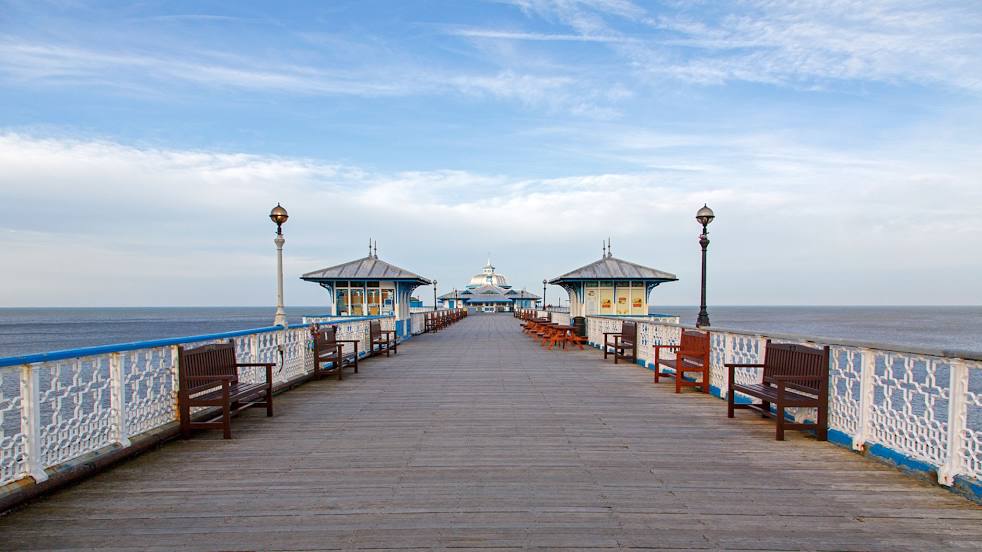
West Bridgford — Colwyn Bay distance, route on the map
Distance by car
Distance between West Bridgford, England, United Kingdom and Colwyn Bay, Wales, United Kingdom by car is — km, or miles. To travel this distance by car, you need minute, or h.
Route on the map, driving directions
Car route West Bridgford — Colwyn Bay was created automatically. The road on the map is shown as a blue line. By moving the markers, you can create a new route through the points you need.
Distance by plane
If you decide to take a trip West Bridgford Colwyn Bay by plane, then you have to fly the distance — 178 km or 110 miles. It is marked on the map with a gray line (between two points in a straight line).
Flight time
Estimated flight time West Bridgford Colwyn Bay by plane at cruising speed 750 km / h will be — 14 min.
Direction of movement
United Kingdom, West Bridgford — left-hand traffic. United Kingdom, Colwyn Bay — left-hand traffic.
Difference in time
West Bridgford and Colwyn Bay are in the same time zone. Between them there is no time difference (UTC +1 Europe/London).
Interesting Facts
Information on alternative ways to get to your destination.
The length of this distance is about 0.4% of the total length of the equator.
The percentage of the population is clearly shown in the graph:
West Bridgford — 48,314, Colwyn Bay — 30,829 residents (less by 17,485).
The cost of travel
Calculate the cost of the trip yourself using the fuel consumption calculator, changing the data in the table.
Calculate the cost of other distances from the starting point — West Bridgford.