Holsbeek — Bilstain
Holsbeek — Longfaye
Holsbeek — Vezin
Holsbeek — Grimbergen
Holsbeek — Racour
Holsbeek — Knesselare
Holsbeek — Gistoux
Holsbeek — Bois d'Ohey
Holsbeek — Namur
Holsbeek — Malmedy
Holsbeek — Méan
Holsbeek — Haillot
Holsbeek — Neus
Holsbeek — Les Avins
Holsbeek — Kerkom
Holsbeek — Burg-Reuland
Holsbeek — Namur
Holsbeek — Grobbendonk
Holsbeek — Froidfontaine
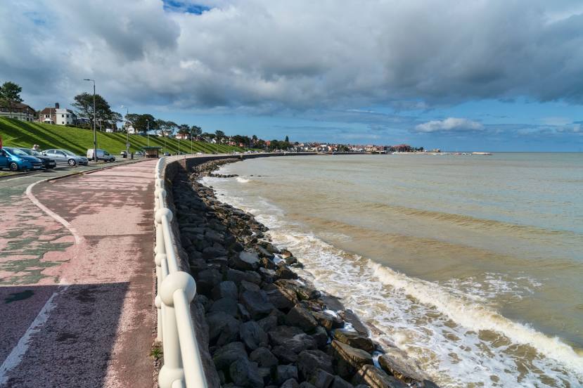
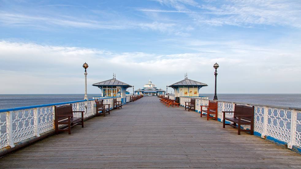
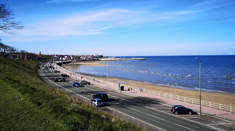
Holsbeek — Colwyn Bay distance, route on the map
Distance by car
Distance between Holsbeek, Flanders, Belgium and Colwyn Bay, Wales, United Kingdom by car is — km, or miles. To travel this distance by car, you need minute, or h.
Route on the map, driving directions
Car route Holsbeek — Colwyn Bay was created automatically. The road on the map is shown as a blue line. By moving the markers, you can create a new route through the points you need.
Distance by plane
If you decide to take a trip Holsbeek Colwyn Bay by plane, then you have to fly the distance — 636 km or 394 miles. It is marked on the map with a gray line (between two points in a straight line).
Flight time
Estimated flight time Holsbeek Colwyn Bay by plane at cruising speed 750 km / h will be — 50 min.
Direction of movement
Belgium, Holsbeek — right-hand traffic. United Kingdom, Colwyn Bay — left-hand traffic.
Difference in time
Holsbeek and Colwyn Bay are in different time zones. The time difference is 1 hour (UTC +2 Europe/Brussels, UTC +1 Europe/London).
Interesting Facts
Information on alternative ways to get to your destination.
The length of this distance is about 1.6% of the total length of the equator.
The percentage of the population is clearly shown in the graph:
Holsbeek — 9,094 (less by 21,735), Colwyn Bay — 30,829 residents.
The cost of travel
Calculate the cost of the trip yourself using the fuel consumption calculator, changing the data in the table.