Abergavenny — Holme-on-Spalding-Moor
Abergavenny — Tilbury
Abergavenny — Dungannon
Abergavenny — Alveley
Abergavenny — Widnes
Abergavenny — Hereford
Abergavenny — Stanwell
Abergavenny — Worle
Abergavenny — West Drayton
Abergavenny — Montrose
Abergavenny — Cornwall
Abergavenny — Llanfrothen
Abergavenny — Llannefydd
Abergavenny — Shrewsbury
Abergavenny — West Lexham
Abergavenny — Walton Hall
Abergavenny — Cottingham
Abergavenny — Midgham
Abergavenny — Chipping Norton
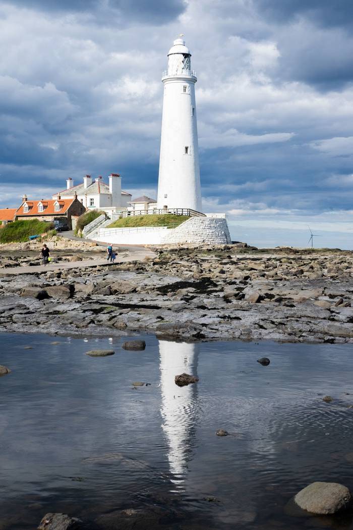
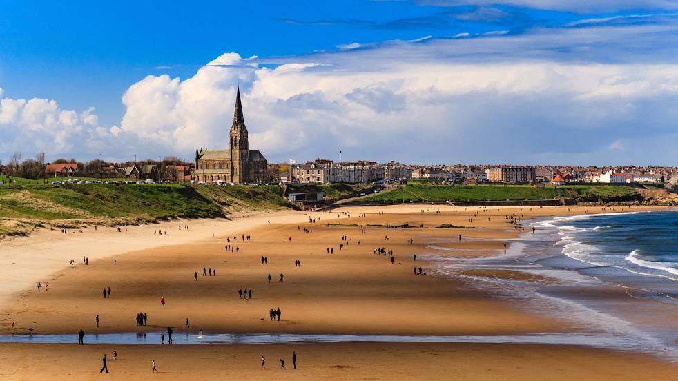
Abergavenny — Whitley Bay distance, route on the map
Distance by car
Distance between Abergavenny, Wales, United Kingdom and Whitley Bay, England, United Kingdom by car is — km, or miles. To travel this distance by car, you need minute, or h.
Route on the map, driving directions
Car route Abergavenny — Whitley Bay was created automatically. The road on the map is shown as a blue line. By moving the markers, you can create a new route through the points you need.
Distance by plane
If you decide to take a trip Abergavenny Whitley Bay by plane, then you have to fly the distance — 373 km or 231 miles. It is marked on the map with a gray line (between two points in a straight line).
Flight time
Estimated flight time Abergavenny Whitley Bay by plane at cruising speed 750 km / h will be — 29 min.
Direction of movement
United Kingdom, Abergavenny — left-hand traffic. United Kingdom, Whitley Bay — left-hand traffic.
Difference in time
Abergavenny and Whitley Bay are in the same time zone. Between them there is no time difference (UTC +1 Europe/London).
Interesting Facts
Information on alternative ways to get to your destination.
The length of this distance is about 0.9% of the total length of the equator.
The percentage of the population is clearly shown in the graph:
Abergavenny — 14,211 (less by 23,844), Whitley Bay — 38,055 residents.
The cost of travel
Calculate the cost of the trip yourself using the fuel consumption calculator, changing the data in the table.
Calculate the cost of other distances from the starting point — Abergavenny.