 Hampshire
Lewes
Leek
Wisbech
Wokingham
Whitstable
Hounslow
Wokingham
Waddesdon
Balloch
Shetland Islands
Devon
Harrogate
Pavenham
Dartford
Watford
Uxbridge
Yaxley
Maidenhead
Hampshire
Lewes
Leek
Wisbech
Wokingham
Whitstable
Hounslow
Wokingham
Waddesdon
Balloch
Shetland Islands
Devon
Harrogate
Pavenham
Dartford
Watford
Uxbridge
Yaxley
Maidenhead
Abergavenny on the map, United Kingdom
Where is located Abergavenny
Exact location — Abergavenny, Monmouthshire, Wales, United Kingdom, marked on the map with a red marker.
Coordinates
Abergavenny, United Kingdom coordinates in decimal format: latitude — 51.825366, longitude — -3.019423. When converted to degrees, minutes, seconds Abergavenny has the following coordinates: 51°49′31.32 north latitude and -3°1′9.92 east longitude.
Population
Abergavenny, Monmouthshire, Wales, United Kingdom, according to our data the population is — 14,211 residents, which is about 0% of the total population of the country (United Kingdom).
Comparison of the population on the graph:
Exact time
Time zone for this location Abergavenny — UTC +1 Europe/London. Exact time — friday, 4 april 2024 year, 07 h. 40 minutes.
Sunrise and sunset
Abergavenny, sunrise and sunset data for a date — friday 26.04.2024.
| Sunrise | Sunset | Day (duration) |
|---|---|---|
| 05:55 -2 minutes | 20:24 +2 minutes | 14 h. 30 minutes. +4 minutes |
You can control the scale of the map using the auxiliary tools to find out exactly where it is located Abergavenny. When you change the scale of the map, the width of the ruler also changes (in kilometers and miles).
Nearby cities
The largest cities that are located nearby:
- Bristol — 51 km
- Cheltenham — 65 km
- Worcester — 68 km
- Swindon — 90 km
- Dudley — 99 km
- Telford — 102 km
- West Bromwich — 103 km
- Birmingham — 105 km
- Sutton Coldfield — 115 km
- Coventry — 120 km
- Oxford — 121 km
- Exeter — 128 km
- Stoke-on-Trent — 142 km
- Bournemouth — 146 km
- Reading — 147 km
- Northampton — 150 km
- Southampton — 151 km
- Leicester — 155 km
- Slough — 170 km
Distance to neighboring capitals:
- Dublin
 (Ireland) — 277 km
 - Paris
 (France) — 504 km
 - Paris (France) — 504 km
- Brussels
 (Belgium) — 523 km
 - Amsterdam
 (Netherlands) — 544 km
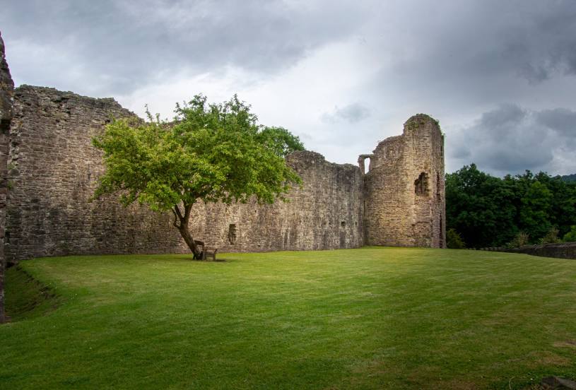
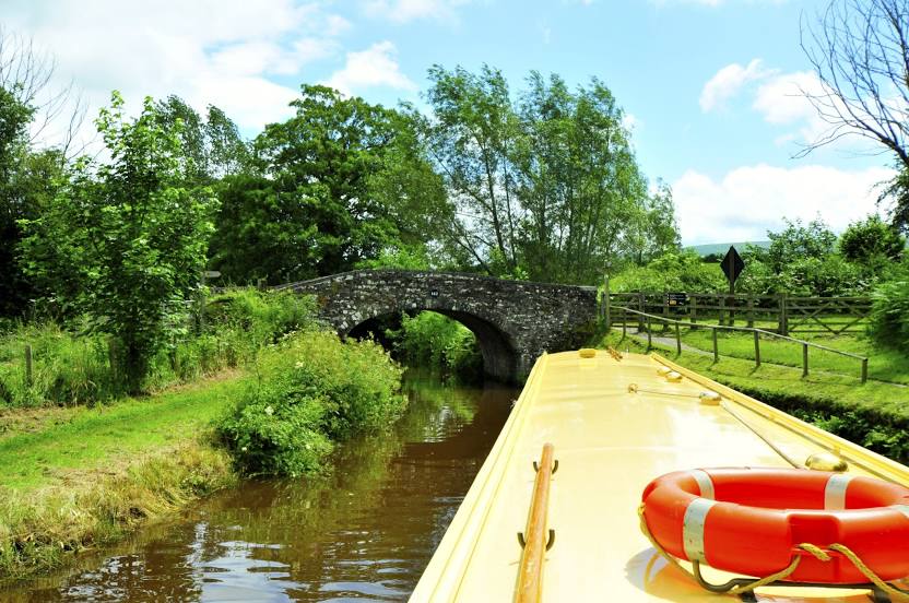
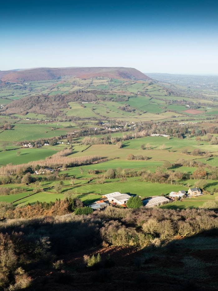
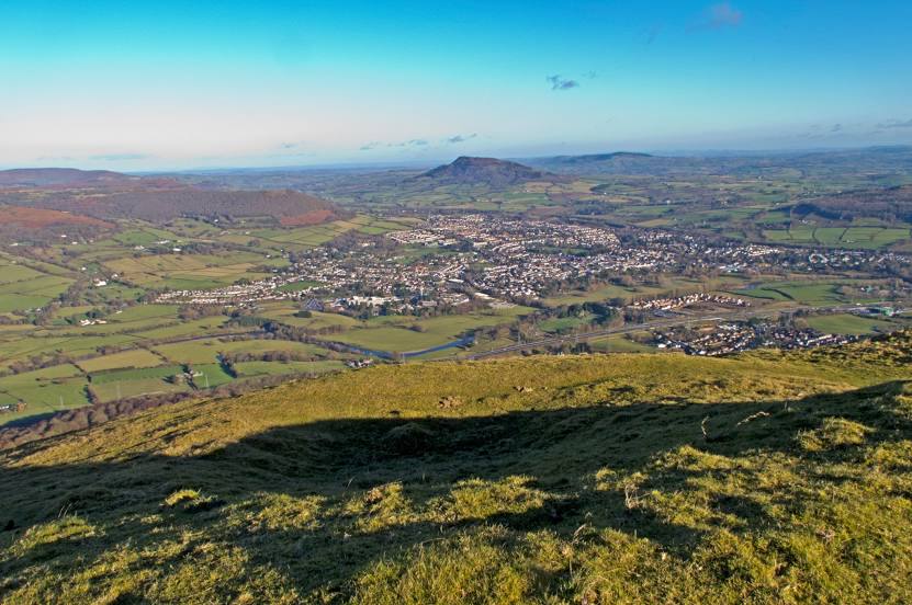
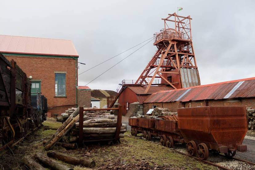
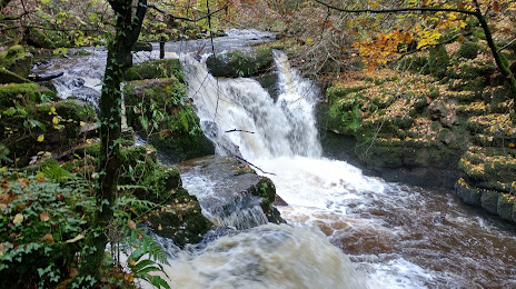
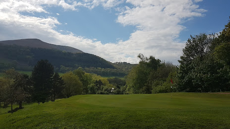
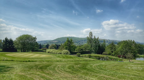
Attractions


Distance to the capital
Distance to the capital (London) is about — 203 km.