 Cymmer
Cookham
Kettering
Pembroke Dock
Sale
Bolton
Ilkeston
Livingston
Colwyn Bay
Hampshire
Guildford
Selby
Weybridge
Edenbridge
Truro
Pembroke
Alston
Newport
Cwmbran
Cymmer
Cookham
Kettering
Pembroke Dock
Sale
Bolton
Ilkeston
Livingston
Colwyn Bay
Hampshire
Guildford
Selby
Weybridge
Edenbridge
Truro
Pembroke
Alston
Newport
Cwmbran
Basildon on the map, United Kingdom
Where is located Basildon
Exact location — Basildon, Essex, England, United Kingdom, marked on the map with a red marker.
Coordinates
Basildon, United Kingdom coordinates in decimal format: latitude — 51.576084, longitude — 0.488736. When converted to degrees, minutes, seconds Basildon has the following coordinates: 51°34′33.9 north latitude and 0°29′19.45 east longitude.
Population
Basildon, Essex, England, United Kingdom, according to our data the population is — 101,362 residents, which is about 0.1% of the total population of the country (United Kingdom).
Comparison of the population on the graph:
Exact time
Time zone for this location Basildon — UTC +1 Europe/London. Exact time — friday, 4 april 2024 year, 22 h. 00 minutes.
Sunrise and sunset
Basildon, sunrise and sunset data for a date — friday 26.04.2024.
| Sunrise | Sunset | Day (duration) |
|---|---|---|
| 05:41 -2 minutes | 20:09 +2 minutes | 14 h. 30 minutes. +4 minutes |
You can control the scale of the map using the auxiliary tools to find out exactly where it is located Basildon. When you change the scale of the map, the width of the ruler also changes (in kilometers and miles).
Nearby cities
The largest cities that are located nearby:
- Southend-on-Sea — 15 km
- Chelmsford — 18 km
- Gillingham — 21 km
- Sutton — 53 km
- Watford — 61 km
- Ipswich — 70 km
- Crawley — 70 km
- Luton — 70 km
- Cambridge — 74 km
- Slough — 75 km
- Eastbourne — 90 km
- Reading — 102 km
- Northampton — 119 km
- Oxford — 121 km
- Norwich — 129 km
- Portsmouth — 138 km
- Southampton — 151 km
- Swindon — 156 km
- Leicester — 160 km
Distance to neighboring capitals:
- Brussels
 (Belgium) — 281 km
 - Amsterdam
 (Netherlands) — 315 km
 - Paris
 (France) — 330 km
 - Paris (France) — 330 km
- Dublin
 (Ireland) — 498 km
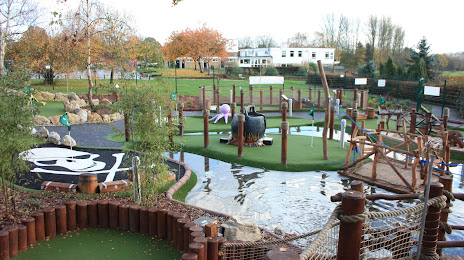
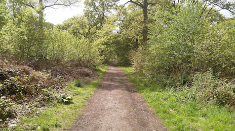
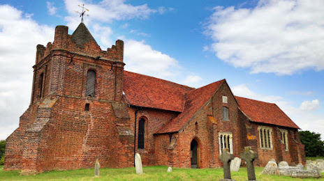
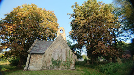
Attractions


Distance to the capital
Distance to the capital (London) is about — 43 km.