 Eastbourne
Freshford
Knook
Epping
Maidstone
New Romney
Stafford
Bampton
Dinnington
Alston
Hever
Royal Leamington Spa
Bromley
Dunkeld
Londonderry
Londonderry
Pickering
Chester
Derby
Eastbourne
Freshford
Knook
Epping
Maidstone
New Romney
Stafford
Bampton
Dinnington
Alston
Hever
Royal Leamington Spa
Bromley
Dunkeld
Londonderry
Londonderry
Pickering
Chester
Derby
Ulverston on the map, United Kingdom
Where is located Ulverston
Exact location — Ulverston, Cumbria, England, United Kingdom, marked on the map with a red marker.
Coordinates
Ulverston, United Kingdom coordinates in decimal format: latitude — 54.195138, longitude — -3.09267. When converted to degrees, minutes, seconds Ulverston has the following coordinates: 54°11′42.5 north latitude and -3°5′33.61 east longitude.
Population
Ulverston, Cumbria, England, United Kingdom, according to our data the population is — 11,460 residents, which is about 0% of the total population of the country (United Kingdom).
Comparison of the population on the graph:
Exact time
Time zone for this location Ulverston — UTC +1 Europe/London. Exact time — sunday, 4 april 2024 year, 06 h. 54 minutes.
Sunrise and sunset
Ulverston, sunrise and sunset data for a date — sunday 28.04.2024.
| Sunrise | Sunset | Day (duration) |
|---|---|---|
| 05:44 -2 minutes | 20:35 +2 minutes | 14 h. 54 minutes. +4 minutes |
You can control the scale of the map using the auxiliary tools to find out exactly where it is located Ulverston. When you change the scale of the map, the width of the ruler also changes (in kilometers and miles).
Nearby cities
The largest cities that are located nearby:
- Preston — 54 km
- Blackburn — 63 km
- Liverpool — 87 km
- Manchester — 97 km
- Huddersfield — 105 km
- Sunderland — 134 km
- Sheffield — 140 km
- Rotherham — 142 km
- Stoke-on-Trent — 145 km
- Telford — 173 km
- Belfast — 187 km
- Edinburgh — 194 km
- Glasgow — 198 km
- Dudley — 198 km
- Sutton Coldfield — 199 km
- West Bromwich — 200 km
- Birmingham — 206 km
- Leicester — 216 km
- Coventry — 224 km
Distance to neighboring capitals:
- Dublin
 (Ireland) — 228 km
 - Amsterdam
 (Netherlands) — 568 km
 - Brussels
 (Belgium) — 626 km
 - Paris
 (France) — 703 km
 - Paris (France) — 703 km
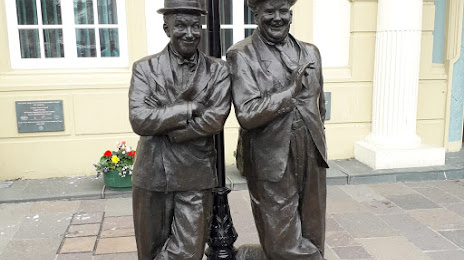
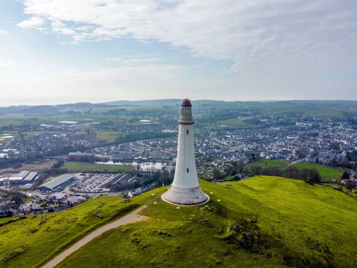
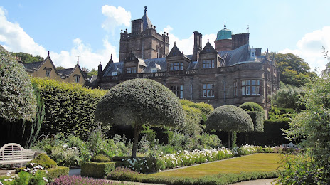
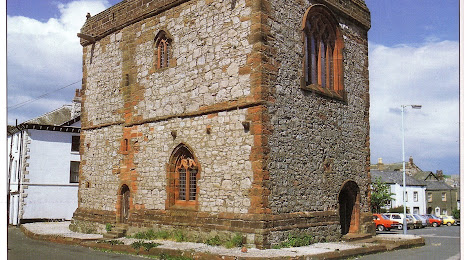
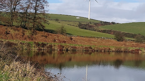
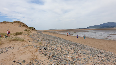
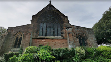
Attractions


Distance to the capital
Distance to the capital (London) is about — 359 km.