 Hereford
Hampshire
Bale
Talmine
Skipton
Burnley
Seaford
Caister-on-Sea
Girvan
Clevedon
Bevere
Othery
Coton
Sealand
Crewe
Melton Mowbray
Belvedere
Takeley
Whitburn
Hereford
Hampshire
Bale
Talmine
Skipton
Burnley
Seaford
Caister-on-Sea
Girvan
Clevedon
Bevere
Othery
Coton
Sealand
Crewe
Melton Mowbray
Belvedere
Takeley
Whitburn
Bolsover on the map, United Kingdom
Where is located Bolsover
Exact location — Bolsover, Derbyshire, England, United Kingdom, marked on the map with a red marker.
Coordinates
Bolsover, United Kingdom coordinates in decimal format: latitude — 53.231044, longitude — -1.2897209. When converted to degrees, minutes, seconds Bolsover has the following coordinates: 53°13′51.76 north latitude and -1°17′23 east longitude.
Population
Bolsover, Derbyshire, England, United Kingdom, according to our data the population is — 11,825 residents, which is about 0% of the total population of the country (United Kingdom).
Comparison of the population on the graph:
Exact time
Time zone for this location Bolsover — UTC +1 Europe/London. Exact time — saturday, 4 april 2024 year, 02 h. 52 minutes.
Sunrise and sunset
Bolsover, sunrise and sunset data for a date — saturday 27.04.2024.
| Sunrise | Sunset | Day (duration) |
|---|---|---|
| 05:42 -2 minutes | 20:23 +2 minutes | 14 h. 42 minutes. +4 minutes |
You can control the scale of the map using the auxiliary tools to find out exactly where it is located Bolsover. When you change the scale of the map, the width of the ruler also changes (in kilometers and miles).
Nearby cities
The largest cities that are located nearby:
- Sheffield — 20 km
- Rotherham — 23 km
- Huddersfield — 56 km
- Stoke-on-Trent — 64 km
- Leicester — 66 km
- Manchester — 69 km
- Sutton Coldfield — 81 km
- Birmingham — 92 km
- West Bromwich — 92 km
- Coventry — 92 km
- Dudley — 96 km
- Blackburn — 97 km
- Telford — 99 km
- Preston — 110 km
- Northampton — 113 km
- Liverpool — 114 km
- Worcester — 131 km
- Cambridge — 148 km
- Cheltenham — 157 km
Distance to neighboring capitals:
- Dublin
 (Ireland) — 331 km
 - Amsterdam
 (Netherlands) — 427 km
 - Brussels
 (Belgium) — 468 km
 - Paris
 (France) — 549 km
 - Paris (France) — 549 km
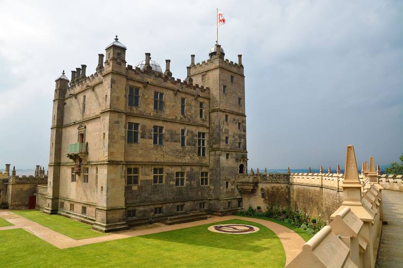
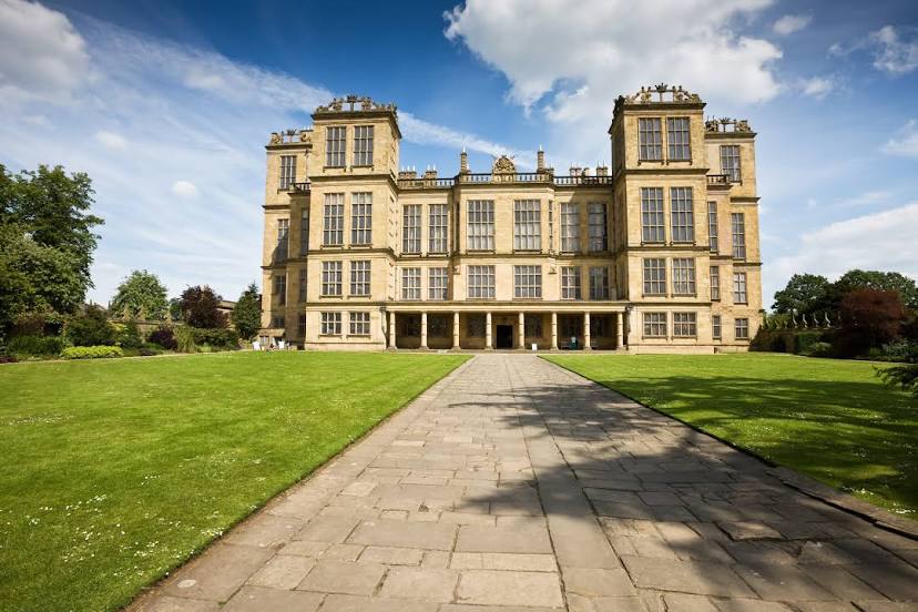
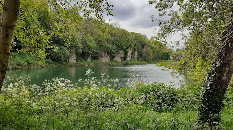
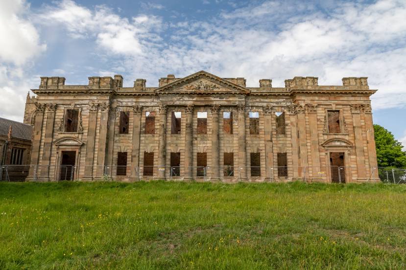
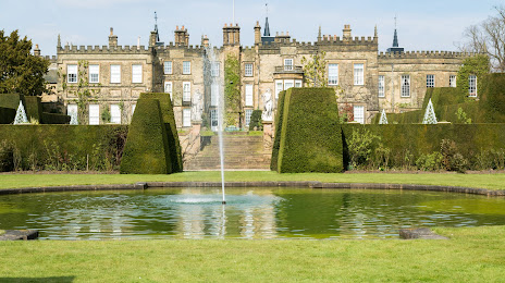
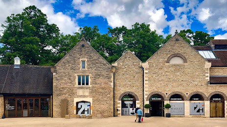
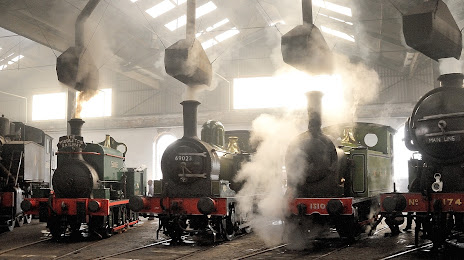
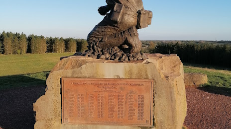
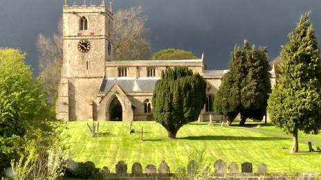
Attractions

Distance to the capital
Distance to the capital (London) is about — 207 km.