 Bedford
Alcester
Epsom
Northumberland
Matfield
Holme-on-Spalding-Moor
Scropton
Bisham
Hornchurch
Immingham
Oldham
Wales
Dyce
Newton
East End
Bolsover
Llandrindod Wells
Huddersfield
Idless
Bedford
Alcester
Epsom
Northumberland
Matfield
Holme-on-Spalding-Moor
Scropton
Bisham
Hornchurch
Immingham
Oldham
Wales
Dyce
Newton
East End
Bolsover
Llandrindod Wells
Huddersfield
Idless
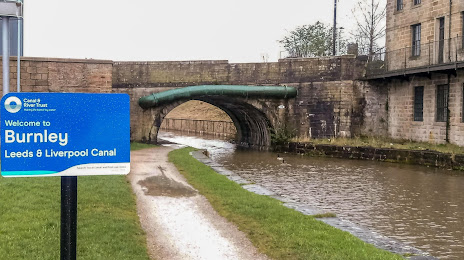
Burnley on the map, United Kingdom
Where is located Burnley
Exact location — Burnley, Lancashire, England, United Kingdom, marked on the map with a red marker.
Coordinates
Burnley, United Kingdom coordinates in decimal format: latitude — 53.7892877, longitude — -2.2405035. When converted to degrees, minutes, seconds Burnley has the following coordinates: 53°47′21.44 north latitude and -2°14′25.81 east longitude.
Population
Burnley, Lancashire, England, United Kingdom, according to our data the population is — 73,480 residents, which is about 0.1% of the total population of the country (United Kingdom).
Comparison of the population on the graph:
Exact time
Time zone for this location Burnley — UTC +1 Europe/London. Exact time — tuesday, 6 june 2024 year, 13 h. 34 minutes.
Sunrise and sunset
Burnley, sunrise and sunset data for a date — tuesday 18.06.2024.
| Sunrise | Sunset | Day (duration) |
|---|---|---|
| 04:42 -0 minutes | 21:37 -0 minutes | 16 h. 54 minutes. -0 minutes |
You can control the scale of the map using the auxiliary tools to find out exactly where it is located Burnley. When you change the scale of the map, the width of the ruler also changes (in kilometers and miles).
Nearby cities
The largest cities that are located nearby:
- Blackburn — 17 km
- Preston — 30 km
- Huddersfield — 34 km
- Manchester — 34 km
- Liverpool — 65 km
- Sheffield — 68 km
- Rotherham — 70 km
- Stoke-on-Trent — 87 km
- Telford — 124 km
- Sunderland — 135 km
- Sutton Coldfield — 138 km
- West Bromwich — 142 km
- Dudley — 142 km
- Birmingham — 146 km
- Leicester — 147 km
- Coventry — 160 km
- Worcester — 176 km
- Northampton — 194 km
- Cheltenham — 209 km
Distance to neighboring capitals:
- Dublin
 (Ireland) — 270 km
 - Amsterdam
 (Netherlands) — 502 km
 - Brussels
 (Belgium) — 554 km
 - Paris
 (France) — 634 km
 - Paris (France) — 634 km
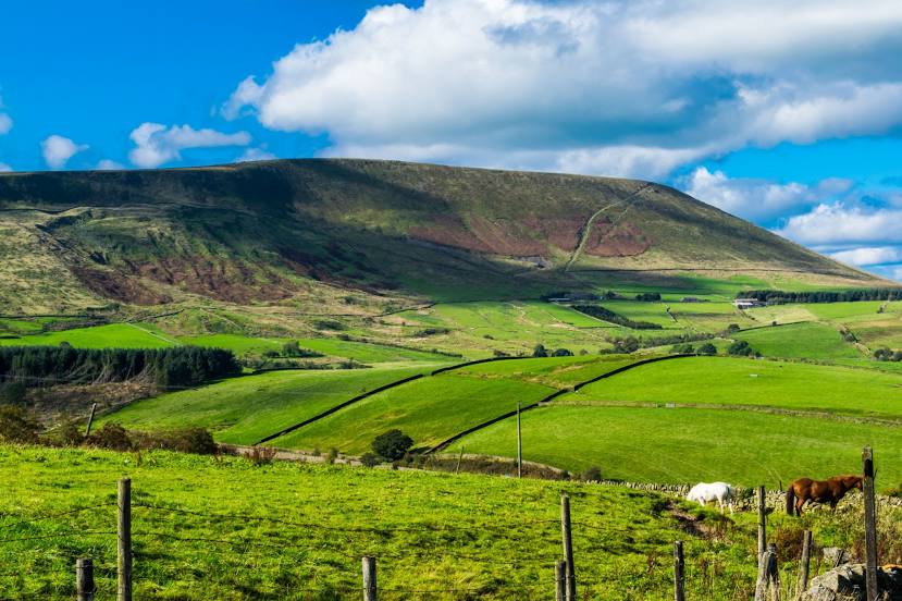
Attractions


Distance to the capital
Distance to the capital (London) is about — 291 km.