 Harby
Huntly
New Deer
RAF Wyton
Chesham
Blackpool Airport
Swanage
Eglish
Castle Combe
Cotts
East Boldre
Dungannon
Grantham
Hyde
Tavistock
Saint Helens
Hornchurch
Bisham
Scropton
Harby
Huntly
New Deer
RAF Wyton
Chesham
Blackpool Airport
Swanage
Eglish
Castle Combe
Cotts
East Boldre
Dungannon
Grantham
Hyde
Tavistock
Saint Helens
Hornchurch
Bisham
Scropton
Carlisle on the map, United Kingdom
Where is located Carlisle
Exact location — Carlisle, Cumbria, England, United Kingdom, marked on the map with a red marker.
Coordinates
Carlisle, United Kingdom coordinates in decimal format: latitude — 54.892473, longitude — -2.932931. When converted to degrees, minutes, seconds Carlisle has the following coordinates: 54°53′32.9 north latitude and -2°55′58.55 east longitude.
Population
Carlisle, Cumbria, England, United Kingdom, according to our data the population is — 72,633 residents, which is about 0.1% of the total population of the country (United Kingdom).
Comparison of the population on the graph:
Exact time
Time zone for this location Carlisle — UTC +1 Europe/London. Exact time — friday, 4 april 2024 year, 01 h. 00 minutes.
Sunrise and sunset
Carlisle, sunrise and sunset data for a date — friday 26.04.2024.
| Sunrise | Sunset | Day (duration) |
|---|---|---|
| 05:45 -3 minutes | 20:33 +2 minutes | 14 h. 48 minutes. +5 minutes |
You can control the scale of the map using the auxiliary tools to find out exactly where it is located Carlisle. When you change the scale of the map, the width of the ruler also changes (in kilometers and miles).
Nearby cities
The largest cities that are located nearby:
- Sunderland — 98 km
- Edinburgh — 118 km
- Preston — 126 km
- Blackburn — 130 km
- Glasgow — 135 km
- Huddersfield — 157 km
- Manchester — 163 km
- Liverpool — 164 km
- Rotherham — 192 km
- Sheffield — 193 km
- Belfast — 195 km
- Stoke-on-Trent — 215 km
- Telford — 247 km
- Sutton Coldfield — 267 km
- Dudley — 269 km
- West Bromwich — 270 km
- Birmingham — 275 km
- Leicester — 277 km
- Dublin
 (Ireland) — 278 km
Distance to neighboring capitals:
- Dublin (Ireland) — 277 km
- Amsterdam
 (Netherlands) — 587 km
 - Brussels
 (Belgium) — 664 km
 - Paris
 (France) — 763 km
 - Paris (France) — 763 km
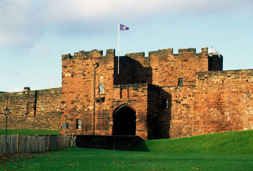
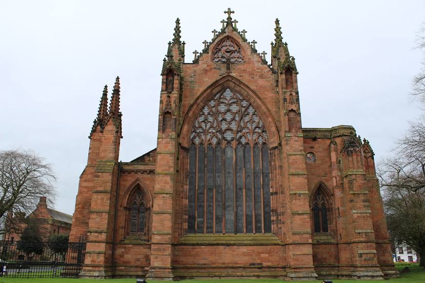
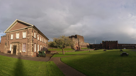
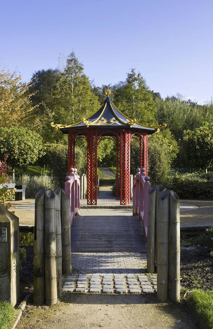
Attractions


Distance to the capital
Distance to the capital (London) is about — 420 km.