Colyton — Osbournby
Colyton — Alva
Colyton — Fife
Colyton — Inverbeg
Colyton — Bolton
Colyton — Northallerton
Colyton — Huntingdon
Colyton — Pyle
Colyton — Ambleside
Colyton — England
Colyton — Ryde
Colyton — Scarborough
Colyton — Brighton City Airport
Colyton — Cockernhoe
Colyton — Cymmer
Colyton — Dorchester
Colyton — Portree
Colyton — Abergavenny
Colyton — Fontmell Magna
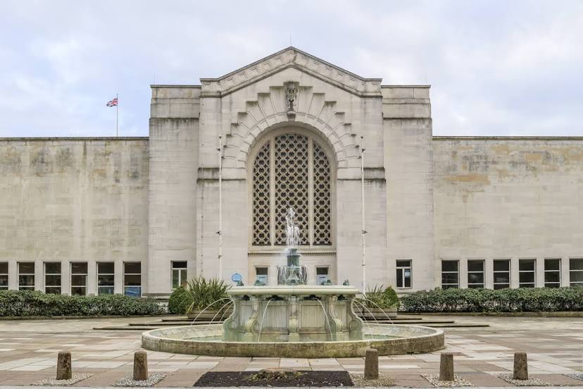
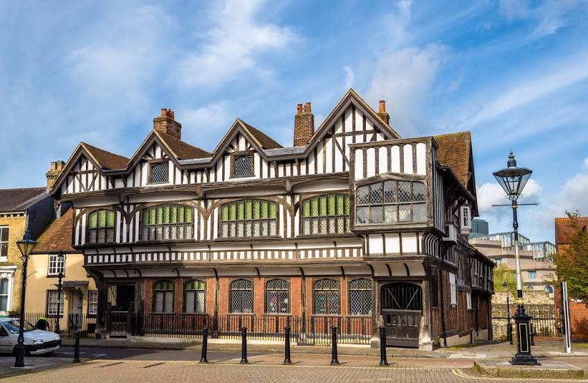
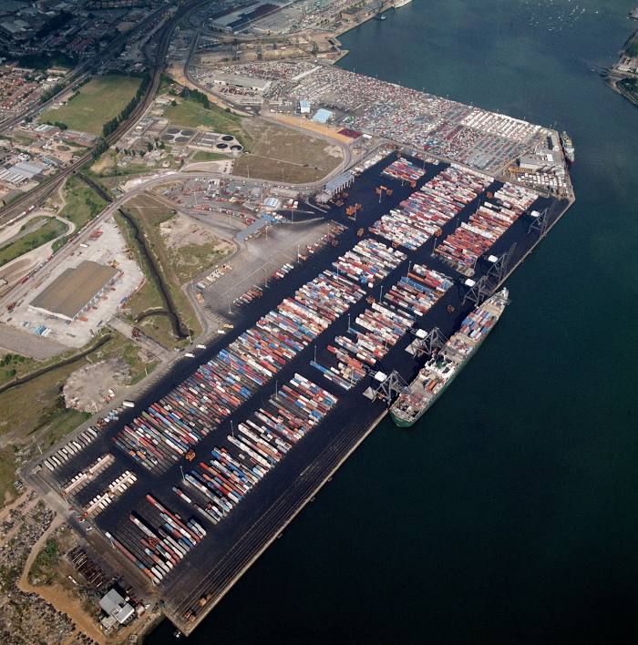
Colyton — Southampton distance, route on the map
Distance by car
Distance between Colyton, England, United Kingdom and Southampton, England, United Kingdom by car is — km, or miles. To travel this distance by car, you need minute, or h.
Route on the map, driving directions
Car route Colyton — Southampton was created automatically. The road on the map is shown as a blue line. By moving the markers, you can create a new route through the points you need.
Distance by plane
If you decide to take a trip Colyton Southampton by plane, then you have to fly the distance — 119 km or 74 miles. It is marked on the map with a gray line (between two points in a straight line).
Flight time
Estimated flight time Colyton Southampton by plane at cruising speed 750 km / h will be — 9 min.
Direction of movement
United Kingdom, Colyton — left-hand traffic. United Kingdom, Southampton — left-hand traffic.
Difference in time
Colyton and Southampton are in the same time zone. Between them there is no time difference (UTC +1 Europe/London).
Interesting Facts
Information on alternative ways to get to your destination.
The length of this distance is about 0.3% of the total length of the equator.
The percentage of the population is clearly shown in the graph:
Colyton — 1,878 (less by 244,323), Southampton — 246,201 residents.
The cost of travel
Calculate the cost of the trip yourself using the fuel consumption calculator, changing the data in the table.