 Virginia Water
Barwell
Bedale
Rochdale
Littleborough
Dolgellau
Shrewsbury
Coalisland
Ledbury
Smethwick
Sandwick
Appleby-in-Westmorland
Perth
Saint Andrews
Whitchurch
Barmouth
Dorset
Saffron Walden
Sunningdale
Virginia Water
Barwell
Bedale
Rochdale
Littleborough
Dolgellau
Shrewsbury
Coalisland
Ledbury
Smethwick
Sandwick
Appleby-in-Westmorland
Perth
Saint Andrews
Whitchurch
Barmouth
Dorset
Saffron Walden
Sunningdale
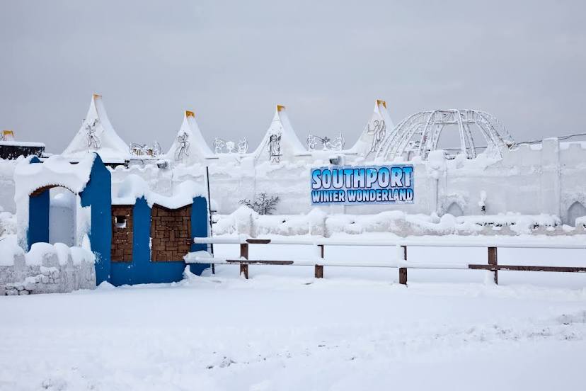
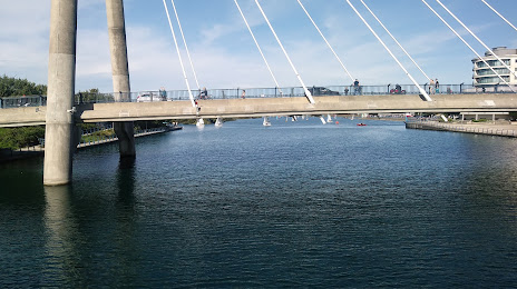
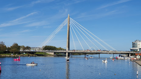
Southport on the map, United Kingdom
Where is located Southport
Exact location — Southport, Merseyside, England, United Kingdom, marked on the map with a red marker.
Coordinates
Southport, United Kingdom coordinates in decimal format: latitude — 53.645708, longitude — -3.010113. When converted to degrees, minutes, seconds Southport has the following coordinates: 53°38′44.55 north latitude and -3°0′36.41 east longitude.
Population
Southport, Merseyside, England, United Kingdom, according to our data the population is — 93,044 residents, which is about 0.1% of the total population of the country (United Kingdom).
Comparison of the population on the graph:
Exact time
Time zone for this location Southport — UTC +1 Europe/London. Exact time — wednesday, 5 may 2024 year, 03 h. 12 minutes.
Sunrise and sunset
Southport, sunrise and sunset data for a date — wednesday 8.05.2024.
| Sunrise | Sunset | Day (duration) |
|---|---|---|
| 05:26 -2 minutes | 20:50 +1 minute | 15 h. 24 minutes. +3 minutes |
You can control the scale of the map using the auxiliary tools to find out exactly where it is located Southport. When you change the scale of the map, the width of the ruler also changes (in kilometers and miles).
Nearby cities
The largest cities that are located nearby:
- Preston — 24 km
- Liverpool — 26 km
- Blackburn — 36 km
- Manchester — 54 km
- Huddersfield — 80 km
- Stoke-on-Trent — 90 km
- Sheffield — 106 km
- Rotherham — 111 km
- Telford — 113 km
- Dudley — 140 km
- West Bromwich — 142 km
- Sutton Coldfield — 143 km
- Birmingham — 149 km
- Leicester — 168 km
- Worcester — 169 km
- Coventry — 170 km
- Sunderland — 174 km
- Cheltenham — 203 km
- Northampton — 211 km
Distance to neighboring capitals:
- Dublin
 (Ireland) — 218 km
 - Amsterdam
 (Netherlands) — 547 km
 - Brussels
 (Belgium) — 589 km
 - Paris
 (France) — 650 km
 - Paris (France) — 650 km
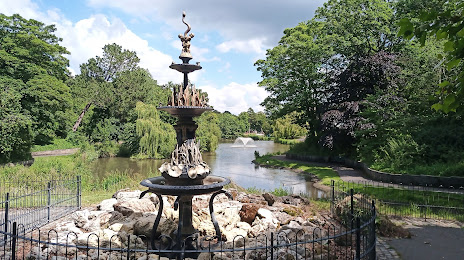
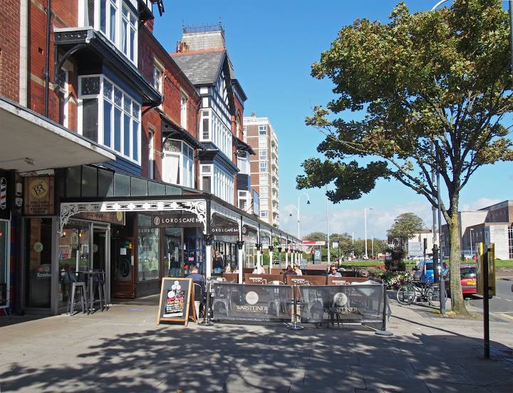
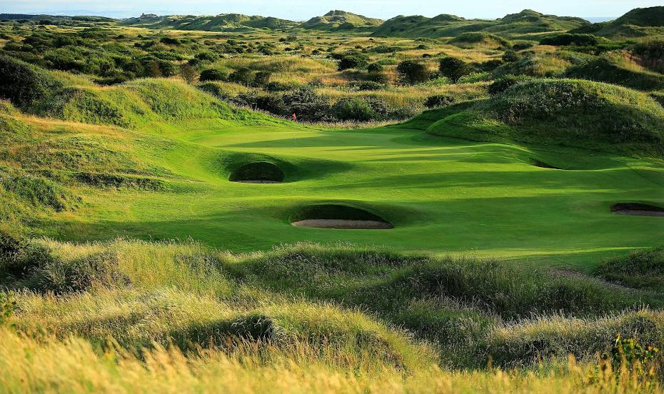
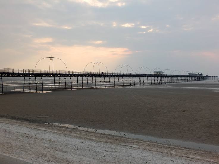
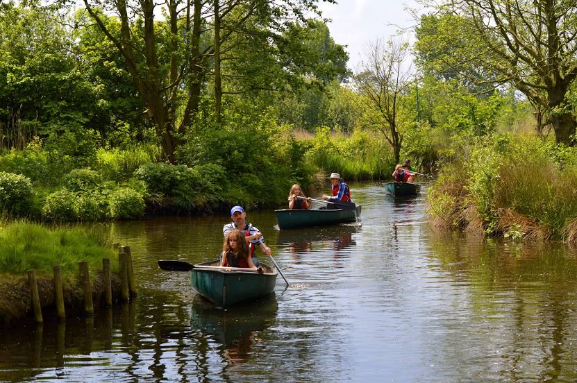
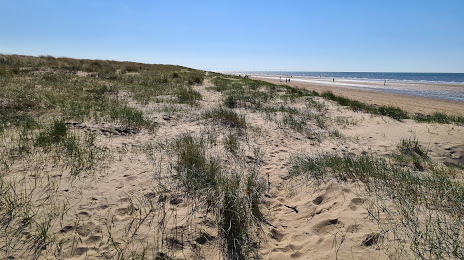
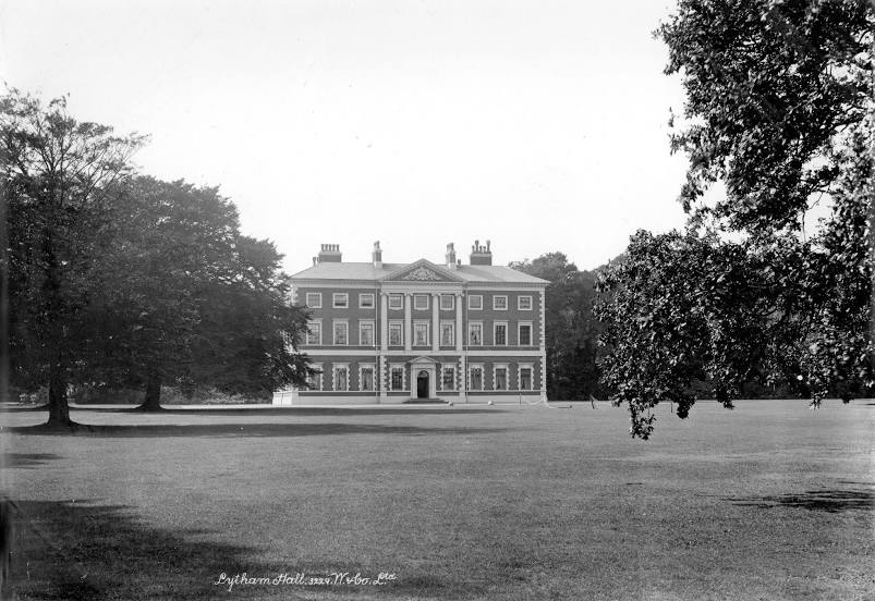
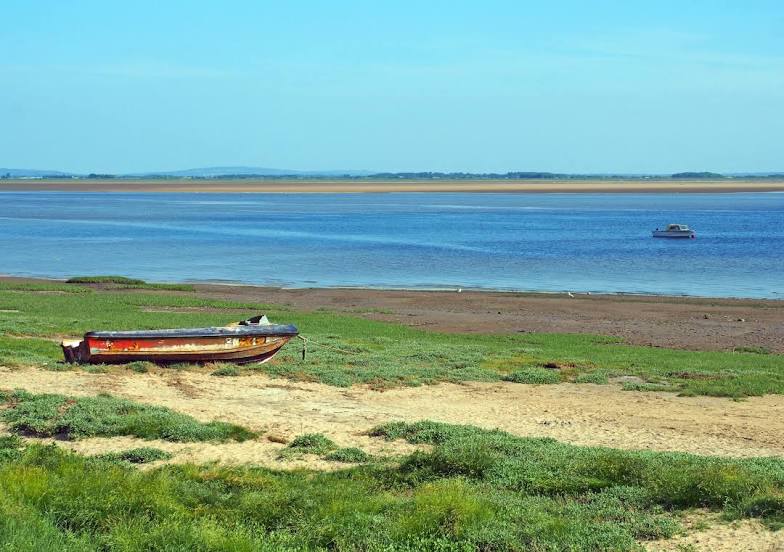
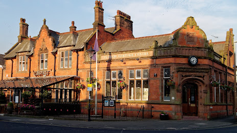
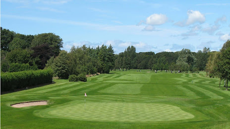
Attractions


Distance to the capital
Distance to the capital (London) is about — 307 km.