 Luton
Ilford
Merstham
North Tawton
Beaminster
Alva
Winchelsea
Kingsmead
Barnstaple
Eversley
Minera
Havant
Antrim
Leece
Newburgh
Lyneham
Manchester
Willenhall
Gillingham
Luton
Ilford
Merstham
North Tawton
Beaminster
Alva
Winchelsea
Kingsmead
Barnstaple
Eversley
Minera
Havant
Antrim
Leece
Newburgh
Lyneham
Manchester
Willenhall
Gillingham
Washington on the map, United Kingdom
Where is located Washington
Exact location — Washington, Tyne and Wear, England, United Kingdom, marked on the map with a red marker.
Coordinates
Washington, United Kingdom coordinates in decimal format: latitude — 54.897432, longitude — -1.517366. When converted to degrees, minutes, seconds Washington has the following coordinates: 54°53′50.76 north latitude and -1°31′2.52 east longitude.
Population
Washington, Tyne and Wear, England, United Kingdom, according to our data the population is — 53,526 residents, which is about 0.1% of the total population of the country (United Kingdom).
Comparison of the population on the graph:
Exact time
Time zone for this location Washington — UTC +1 Europe/London. Exact time — saturday, 4 april 2024 year, 18 h. 39 minutes.
Sunrise and sunset
Washington, sunrise and sunset data for a date — saturday 27.04.2024.
| Sunrise | Sunset | Day (duration) |
|---|---|---|
| 05:37 -3 minutes | 20:29 +2 minutes | 14 h. 54 minutes. +5 minutes |
You can control the scale of the map using the auxiliary tools to find out exactly where it is located Washington. When you change the scale of the map, the width of the ruler also changes (in kilometers and miles).
Nearby cities
The largest cities that are located nearby:
- Sunderland — 9 km
- Huddersfield — 139 km
- Blackburn — 142 km
- Preston — 147 km
- Edinburgh — 156 km
- Rotherham — 162 km
- Manchester — 164 km
- Sheffield — 168 km
- Liverpool — 191 km
- Glasgow — 201 km
- Stoke-on-Trent — 214 km
- Leicester — 251 km
- Telford — 253 km
- Sutton Coldfield — 258 km
- West Bromwich — 265 km
- Dudley — 266 km
- Birmingham — 268 km
- Coventry — 275 km
- Belfast — 285 km
Distance to neighboring capitals:
- Dublin
 (Ireland) — 354 km
 - Amsterdam
 (Netherlands) — 508 km
 - Brussels
 (Belgium) — 598 km
 - Paris
 (France) — 722 km
 - Paris (France) — 722 km
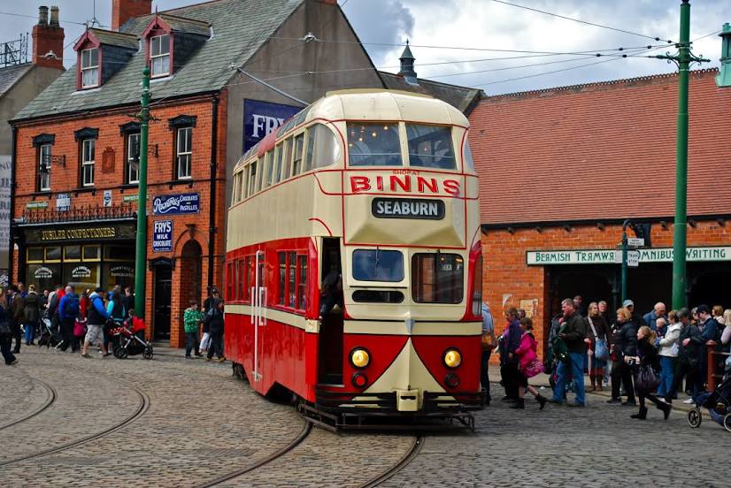
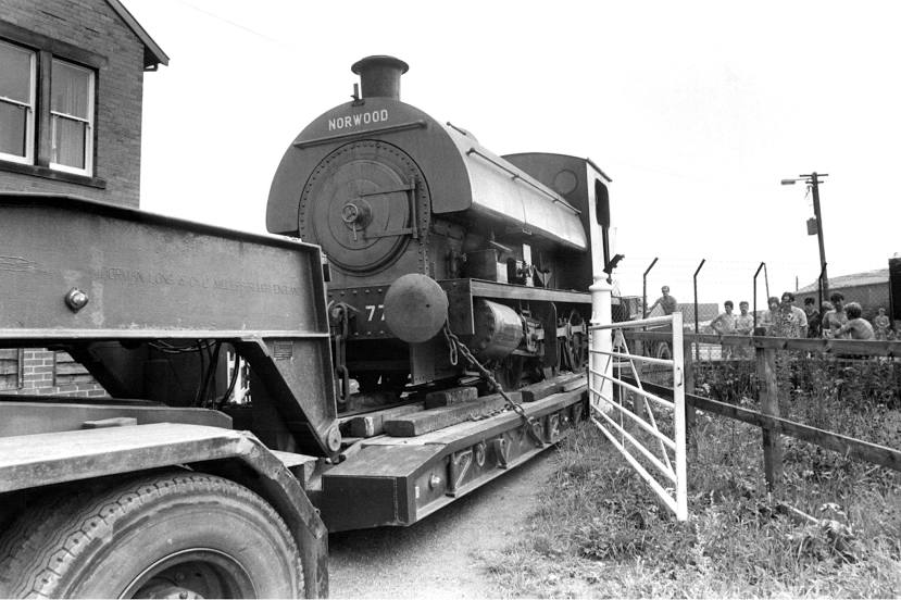
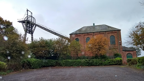
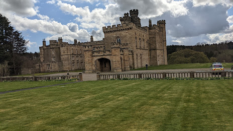
Attractions


Distance to the capital
Distance to the capital (London) is about — 388 km.