 Kirkcaldy
Comp
Eccleston
West Auckland
Pant
Lowestoft
Ottery Saint Mary
Paddock Wood
Stevenage
Washington
Silverstone
Chipping Campden
Enstone
Corbet
Conwy
Taunton
Hillborough
Send
Rugby
Kirkcaldy
Comp
Eccleston
West Auckland
Pant
Lowestoft
Ottery Saint Mary
Paddock Wood
Stevenage
Washington
Silverstone
Chipping Campden
Enstone
Corbet
Conwy
Taunton
Hillborough
Send
Rugby
Ramsgate on the map, United Kingdom
Where is located Ramsgate
Exact location — Ramsgate, Kent, England, United Kingdom, marked on the map with a red marker.
Coordinates
Ramsgate, United Kingdom coordinates in decimal format: latitude — 51.335545, longitude — 1.419895. When converted to degrees, minutes, seconds Ramsgate has the following coordinates: 51°20′7.96 north latitude and 1°25′11.62 east longitude.
Population
Ramsgate, Kent, England, United Kingdom, according to our data the population is — 38,624 residents, which is about 0.1% of the total population of the country (United Kingdom).
Comparison of the population on the graph:
Exact time
Time zone for this location Ramsgate — UTC +1 Europe/London. Exact time — monday, 4 april 2024 year, 06 h. 25 minutes.
Sunrise and sunset
Ramsgate, sunrise and sunset data for a date — monday 29.04.2024.
| Sunrise | Sunset | Day (duration) |
|---|---|---|
| 05:33 -2 minutes | 20:10 +2 minutes | 14 h. 36 minutes. +4 minutes |
You can control the scale of the map using the auxiliary tools to find out exactly where it is located Ramsgate. When you change the scale of the map, the width of the ruler also changes (in kilometers and miles).
Nearby cities
The largest cities that are located nearby:
- Southend-on-Sea — 54 km
- Gillingham — 60 km
- Basildon — 69 km
- Chelmsford — 79 km
- Ipswich — 82 km
- Eastbourne — 101 km
- Sutton — 111 km
- Crawley — 114 km
- Watford — 129 km
- Cambridge — 130 km
- Lille
 (France) — 139 km
 - Luton — 139 km
- Slough — 140 km
- Norwich — 143 km
- Reading — 166 km
- Amiens (France) — 171 km
- Portsmouth — 184 km
- Northampton — 186 km
- Oxford — 189 km
Distance to neighboring capitals:
- Brussels
 (Belgium) — 212 km
 - Amsterdam
 (Netherlands) — 265 km
 - Paris (France) — 284 km
- Paris (France) — 284 km
- Dublin
 (Ireland) — 568 km
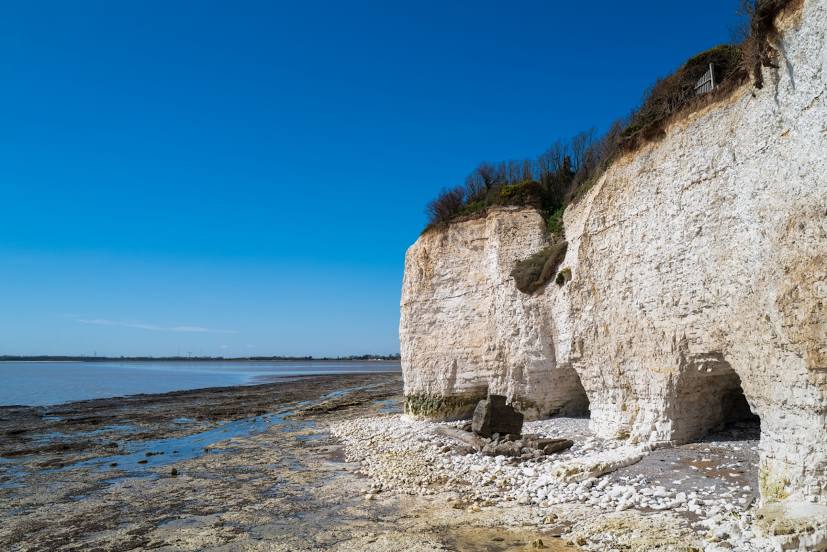
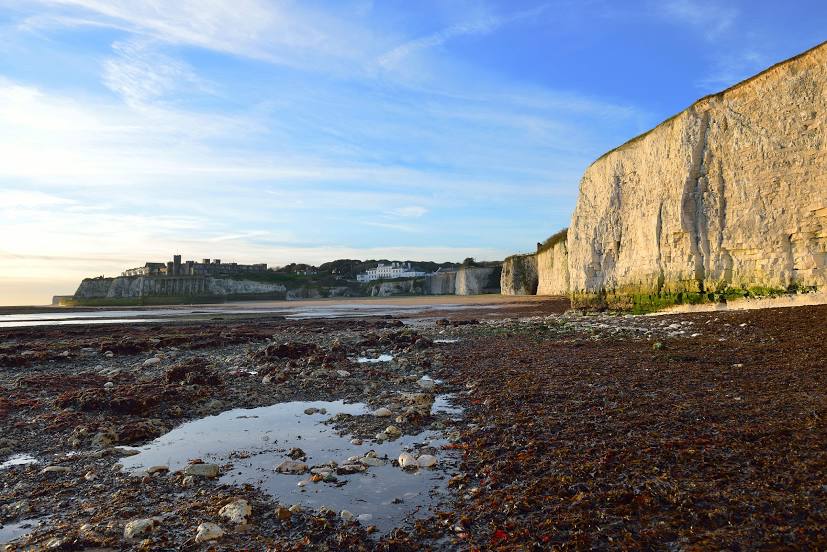
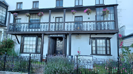
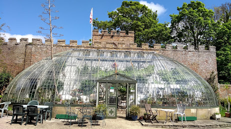
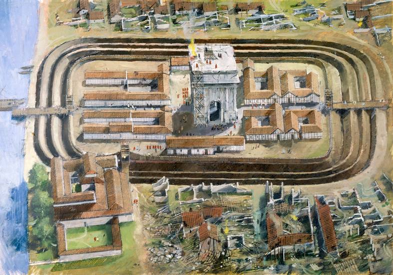
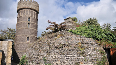
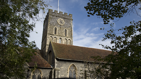
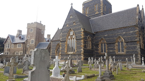
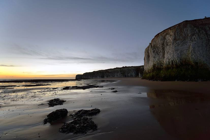
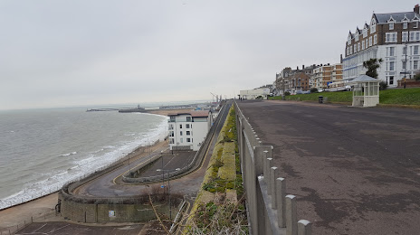
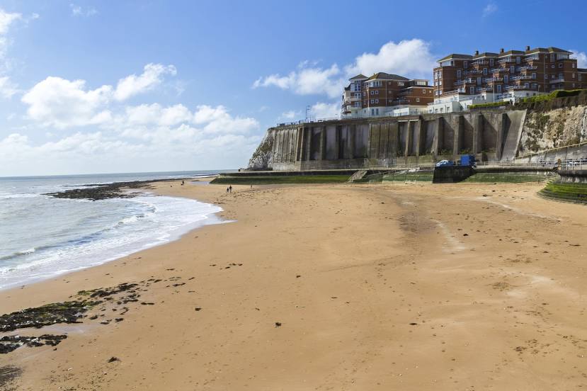
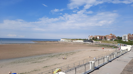
Attractions


Distance to the capital
Distance to the capital (London) is about — 109 km.