 Everton
Strangford
Newton Abbot
High Wycombe
Chippenham
Eye
Abergele
Kilkeel
Bushmills
Sturminster Newton
United Kingdom
Selsey
Argyll and Bute
Cambridgeshire
Inverbeg
Aviemore
Berwick-upon-Tweed
Reigate
Leuchars
Everton
Strangford
Newton Abbot
High Wycombe
Chippenham
Eye
Abergele
Kilkeel
Bushmills
Sturminster Newton
United Kingdom
Selsey
Argyll and Bute
Cambridgeshire
Inverbeg
Aviemore
Berwick-upon-Tweed
Reigate
Leuchars
Lymington on the map, United Kingdom
Where is located Lymington
Exact location — Lymington, Hampshire, England, United Kingdom, marked on the map with a red marker.
Coordinates
Lymington, United Kingdom coordinates in decimal format: latitude — 50.758531, longitude — -1.5419099. When converted to degrees, minutes, seconds Lymington has the following coordinates: 50°45′30.71 north latitude and -1°32′30.88 east longitude.
Population
Lymington, Hampshire, England, United Kingdom, according to our data the population is — 14,544 residents, which is about 0% of the total population of the country (United Kingdom).
Comparison of the population on the graph:
Exact time
Time zone for this location Lymington — UTC +1 Europe/London. Exact time — wednesday, 5 may 2024 year, 22 h. 54 minutes.
Sunrise and sunset
Lymington, sunrise and sunset data for a date — wednesday 1.05.2024.
| Sunrise | Sunset | Day (duration) |
|---|---|---|
| 05:43 -1 minute | 20:23 +2 minutes | 14 h. 42 minutes. +3 minutes |
You can control the scale of the map using the auxiliary tools to find out exactly where it is located Lymington. When you change the scale of the map, the width of the ruler also changes (in kilometers and miles).
Nearby cities
The largest cities that are located nearby:
- Southampton — 19 km
- Bournemouth — 24 km
- Portsmouth — 32 km
- Reading — 86 km
- Swindon — 90 km
- Crawley — 102 km
- Bristol — 105 km
- Slough — 106 km
- Oxford — 112 km
- Sutton — 114 km
- Watford — 127 km
- Eastbourne — 128 km
- Cheltenham — 131 km
- Exeter — 140 km
- Luton — 146 km
- Gillingham — 160 km
- Worcester — 165 km
- Basildon — 166 km
- Northampton — 169 km
Distance to neighboring capitals:
- Paris
 (France) — 350 km
 - Paris (France) — 350 km
- Brussels
 (Belgium) — 414 km
 - Dublin
 (Ireland) — 433 km
 - Amsterdam
 (Netherlands) — 480 km
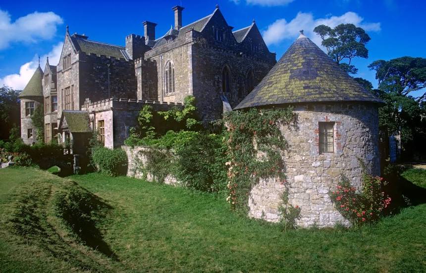
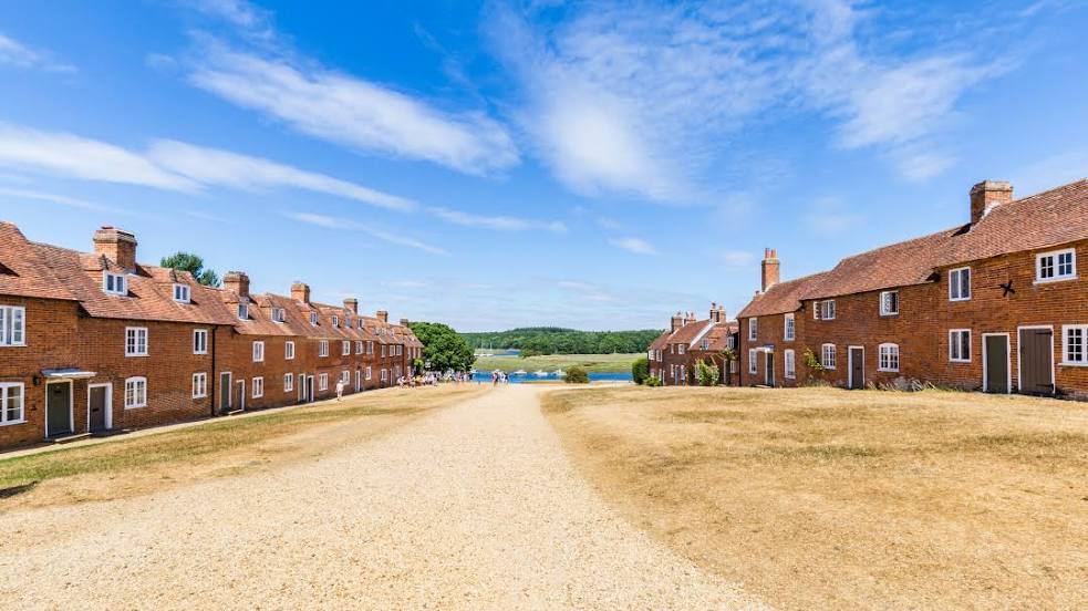
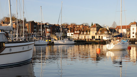
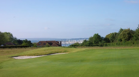
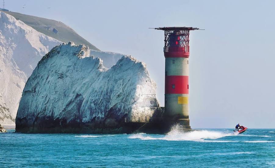
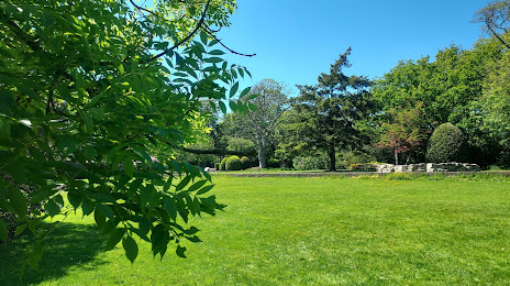
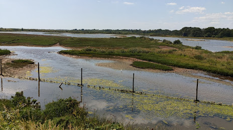
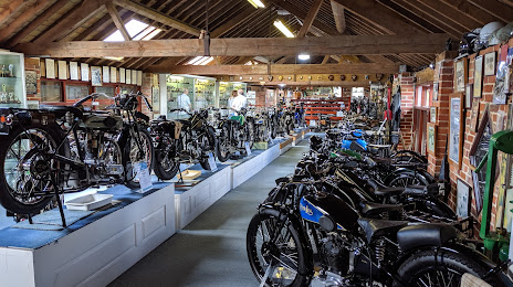
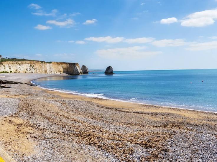
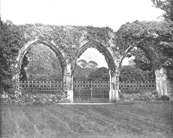
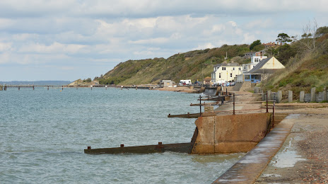
Attractions


Distance to the capital
Distance to the capital (London) is about — 129 km.