Kirknewton — Newark-on-Trent
Kirknewton — Shirenewton
Kirknewton — Pontyates
Kirknewton — Scotland
Kirknewton — Dartmouth
Kirknewton — Dumfries and Galloway
Kirknewton — Belhelvie
Kirknewton — Thurso
Kirknewton — Perth
Kirknewton — Alveley
Kirknewton — 리즈 브래드포드 국제공항
Kirknewton — High Wycombe
Kirknewton — Milton Damerel
Kirknewton — Richmond
Kirknewton — Bevere
Kirknewton — Dorset
Kirknewton — Arbroath
Kirknewton — Maidstone
Kirknewton — Kinlochewe
Moffat
Lockerbie
Ecclefechan
Gretna Green
Carlisle
Great Salkeld
Penrith
Temple Sowerby
Appleby-in-Westmorland
Great Musgrave
Brough Sowerby
Barnard Castle
Manfield
Bedale
Leeming
North Yorkshire
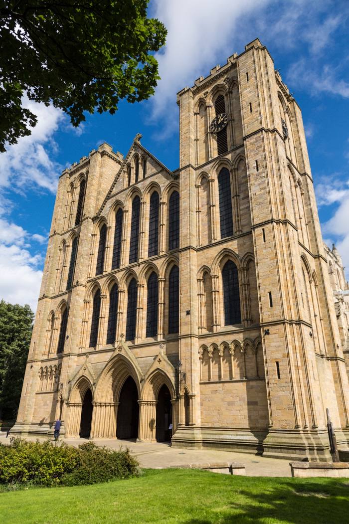
Kirknewton — Ripon distance, route on the map
Distance by car
Distance between Kirknewton, Scotland, United Kingdom and Ripon, England, United Kingdom by car is — km, or miles. To travel this distance by car, you need minute, or h.
Route on the map, driving directions
Car route Kirknewton — Ripon was created automatically. The road on the map is shown as a blue line. By moving the markers, you can create a new route through the points you need.
Passing cities through which the car route passes: Biggar, Moffat, Lockerbie, Ecclefechan, Gretna Green, Carlisle, Great Salkeld, Penrith, Temple Sowerby, Appleby-in-Westmorland, Great Musgrave, Brough Sowerby, Barnard Castle, Manfield, Bedale, Leeming, North Yorkshire.
Distance by plane
If you decide to take a trip Kirknewton Ripon by plane, then you have to fly the distance — 229 km or 142 miles. It is marked on the map with a gray line (between two points in a straight line).
Flight time
Estimated flight time Kirknewton Ripon by plane at cruising speed 750 km / h will be — 18 min.
Direction of movement
United Kingdom, Kirknewton — left-hand traffic. United Kingdom, Ripon — left-hand traffic.
Difference in time
Kirknewton and Ripon are in the same time zone. Between them there is no time difference (UTC +1 Europe/London).
Interesting Facts
Information on alternative ways to get to your destination.
The length of this distance is about 0.6% of the total length of the equator.
The percentage of the population is clearly shown in the graph:
Kirknewton — 1,755 (less by 15,080), Ripon — 16,835 residents.
The cost of travel
Calculate the cost of the trip yourself using the fuel consumption calculator, changing the data in the table.