
 Hallein
Haus im Ennstal
Kundl
Leobendorf
Ufer
Vösendorf
Enzesfeld
Kaltenbach
Leoben
Sulzau
Hard
Baumgartenberg
Ternitz
Schwertberg
Traun
Wartberg an der Krems
Zeltweg
Kirchdorf in Tirol
Ulmerfeld
Hallein
Haus im Ennstal
Kundl
Leobendorf
Ufer
Vösendorf
Enzesfeld
Kaltenbach
Leoben
Sulzau
Hard
Baumgartenberg
Ternitz
Schwertberg
Traun
Wartberg an der Krems
Zeltweg
Kirchdorf in Tirol
Ulmerfeld
Götzis on the map, Austria
Where is located Götzis
Exact location — Götzis, Feldkirch District, Vorarlberg, Austria, marked on the map with a red marker.
Coordinates
Götzis, Austria coordinates in decimal format: latitude — 47.3342869, longitude — 9.6452461. When converted to degrees, minutes, seconds Götzis has the following coordinates: 47°20′3.43 north latitude and 9°38′42.89 east longitude.
Population
Götzis, Feldkirch District, Vorarlberg, Austria, according to our data the population is — 10,342 residents, which is about 0.1% of the total population of the country (Austria).
Comparison of the population on the graph:
Exact time
Time zone for this location Götzis — UTC +2 Europe/Vienna. Exact time — thursday, 5 may 2024 year, 05 h. 37 minutes.
Sunrise and sunset
Götzis, sunrise and sunset data for a date — thursday 9.05.2024.
| Sunrise | Sunset | Day (duration) |
|---|---|---|
| 05:55 -2 minutes | 20:39 +1 minute | 14 h. 42 minutes. +3 minutes |
You can control the scale of the map using the auxiliary tools to find out exactly where it is located Götzis. When you change the scale of the map, the width of the ruler also changes (in kilometers and miles).
Nearby cities
The largest cities that are located nearby:
- Zurich
 (Switzerland) — 83 km
 - Ulm
 (Germany) — 121 km
 - Innsbruck — 132 km
- Reutlingen (Germany) — 134 km
- Augsburg (Germany) — 147 km
- Freiburg (Germany) — 152 km
- Basel (Switzerland) — 155 km
- Stuttgart (Germany) — 163 km
- Munich (Germany) — 168 km
- Bern (Switzerland) — 172 km
- Mulhouse
 (France) — 178 km
 - Trento
 (Italy) — 180 km
 - Bergamo (Italy) — 181 km
- Pforzheim (Germany) — 186 km
- Strasbourg (France) — 195 km
- Monza (Italy) — 196 km
- Heilbronn (Germany) — 202 km
- Brescia (Italy) — 203 km
- Ingolstadt (Germany) — 205 km
Distance to neighboring capitals:
- Vaduz
 (Liechtenstein) — 23 km
 - Bern (Switzerland) — 172 km
- Ljubljana
 (Slovenia) — 397 km
 - Prague
 (Czech Republic) — 465 km
 - Zagreb
 (Croatia) — 513 km
 - Bratislava
 (Slovakia) — 565 km
 - Paris (France) — 567 km
- Berlin (Germany) — 636 km
- Rome (Italy) — 645 km
- Amsterdam
 (Netherlands) — 655 km
 - Budapest
 (Hungary) — 707 km
 - Belgrade
 (Serbia) — 880 km
 - Copenhagen
 (Denmark) — 949 km
 - Warsaw
 (Poland) — 980 km
 - Bucharest
 (Romania) — 1312 km
 - Kyiv
 (Ukraine) — 1560 km
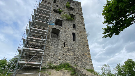
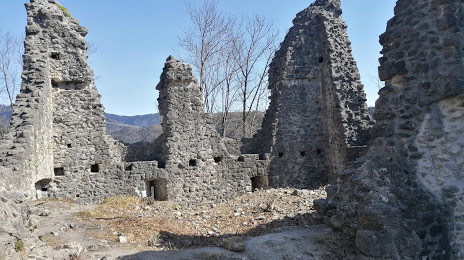
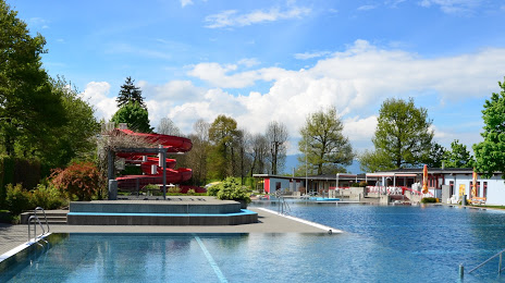
Attractions

Distance to the capital
Distance to the capital (Vienna) is about — 512 km.