
 Wolkersdorf
Schwaz
Bruck an der Mur
Gerasdorf
Wullersdorf
Bergheim
Grambach
Himmelreich
Wollsdorf
Bischofshofen
Laakirchen
Feldkirch
Hartberg
Fuschl
Guntramsdorf
Lustenau
Bregenz
Lochau
Götzis
Wolkersdorf
Schwaz
Bruck an der Mur
Gerasdorf
Wullersdorf
Bergheim
Grambach
Himmelreich
Wollsdorf
Bischofshofen
Laakirchen
Feldkirch
Hartberg
Fuschl
Guntramsdorf
Lustenau
Bregenz
Lochau
Götzis
Leoben on the map, Austria
Where is located Leoben
Exact location — Leoben, Leoben District, Styria, Austria, marked on the map with a red marker.
Coordinates
Leoben, Austria coordinates in decimal format: latitude — 47.37639, longitude — 15.09113. When converted to degrees, minutes, seconds Leoben has the following coordinates: 47°22′35 north latitude and 15°5′28.07 east longitude.
Population
Leoben, Leoben District, Styria, Austria, according to our data the population is — 24,809 residents, which is about 0.3% of the total population of the country (Austria).
Comparison of the population on the graph:
Exact time
Time zone for this location Leoben — UTC +2 Europe/Vienna. Exact time — thursday, 5 may 2024 year, 10 h. 44 minutes.
Sunrise and sunset
Leoben, sunrise and sunset data for a date — thursday 16.05.2024.
| Sunrise | Sunset | Day (duration) |
|---|---|---|
| 05:24 -2 minutes | 20:27 +2 minutes | 15 h. 6 minutes. +4 minutes |
You can control the scale of the map using the auxiliary tools to find out exactly where it is located Leoben. When you change the scale of the map, the width of the ruler also changes (in kilometers and miles).
Nearby cities
The largest cities that are located nearby:
- Graz — 43 km
- Linz — 119 km
- Ljubljana
 (Slovenia) — 153 km
 - Salzburg — 159 km
- Bratislava
 (Slovakia) — 171 km
 - Zagreb
 (Croatia) — 186 km
 - Győr
 (Hungary) — 194 km
 - Trieste
 (Italy) — 216 km
 - Brno
 (Czech Republic) — 229 km
 - Rijeka (Croatia) — 232 km
- Székesfehérvár (Hungary) — 251 km
- Munich
 (Germany) — 272 km
 - Innsbruck — 277 km
- Pécs (Hungary) — 281 km
- Regensburg (Germany) — 282 km
- Pilsen (Czech Republic) — 289 km
- Olomouc (Czech Republic) — 290 km
- Budapest (Hungary) — 295 km
- Prague (Czech Republic) — 302 km
Distance to neighboring capitals:
- Ljubljana (Slovenia) — 153 km
- Bratislava (Slovakia) — 173 km
- Zagreb (Croatia) — 187 km
- Budapest (Hungary) — 297 km
- Prague (Czech Republic) — 304 km
- Vaduz
 (Liechtenstein) — 421 km
 - Belgrade
 (Serbia) — 504 km
 - Bern
 (Switzerland) — 580 km
 - Berlin (Germany) — 585 km
- Rome (Italy) — 642 km
- Warsaw
 (Poland) — 687 km
 - Bucharest
 (Romania) — 912 km
 - Amsterdam
 (Netherlands) — 917 km
 - Copenhagen
 (Denmark) — 939 km
 - Paris
 (France) — 959 km
 - Kyiv
 (Ukraine) — 1176 km
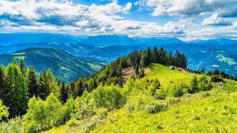
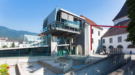
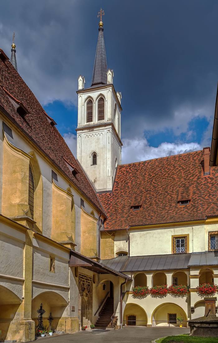
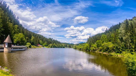
Attractions
Distance to the capital
Distance to the capital (Vienna) is about — 133 km.