Sedgefield — Beddgelert
Sedgefield — Port Talbot
Sedgefield — Marhamchurch
Sedgefield — Edinburgh
Sedgefield — Exeter
Sedgefield — Kent
Sedgefield — Market Warsop
Sedgefield — Dundee
Sedgefield — Uttoxeter
Sedgefield — Newton Abbot
Sedgefield — Caerleon
Sedgefield — Wigan
Sedgefield — Hanworth
Sedgefield — Wick
Sedgefield — Durness
Sedgefield — Alnwick
Sedgefield — Harlow
Sedgefield — Saint Austell
Sedgefield — Hebburn
Bedale
Leeming
North Yorkshire
Ripon
Scotton
Wetherby
Newton
Monk Fryston
Pontefract
South Yorkshire
Dinnington
Wales
Bolsover
Alfreton
Eastwood
Ilkeston
Long Eaton
East Midlands Airport
Thringstone
Ashby-de-la-Zouch
Tamworth
Sutton Coldfield
Wylde Green
Birmingham Airport
Solihull
Lapworth
Hollywood
Redditch
Tardebigge
Catshill
Bromsgrove
Bevere
Grafton Flyford
Worcester
Peopleton
Overbury
Beckford
Tirley
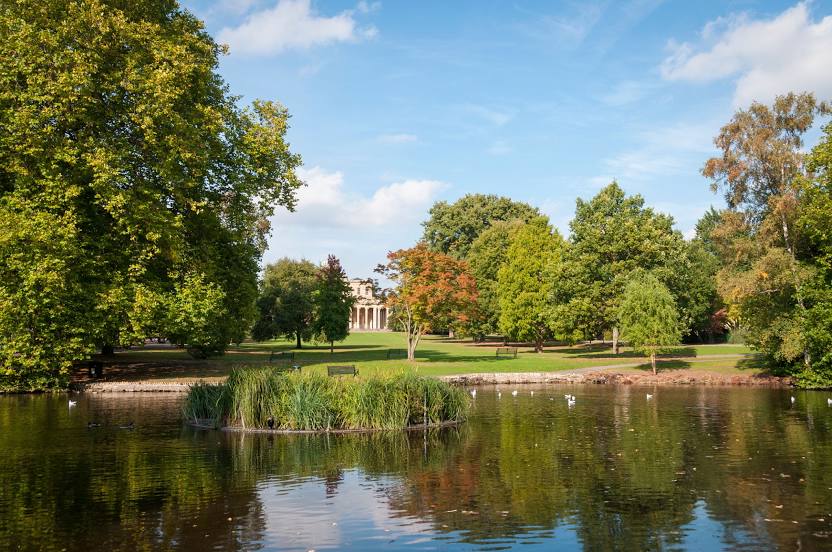
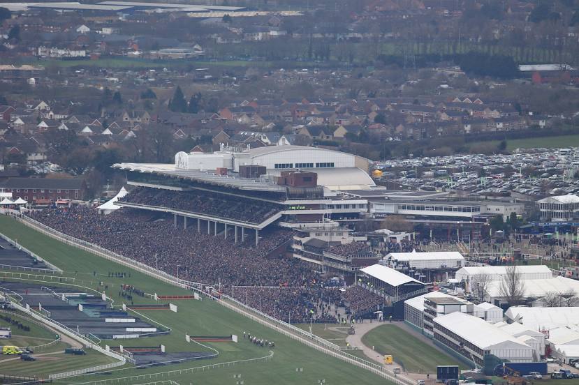
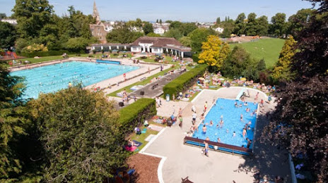
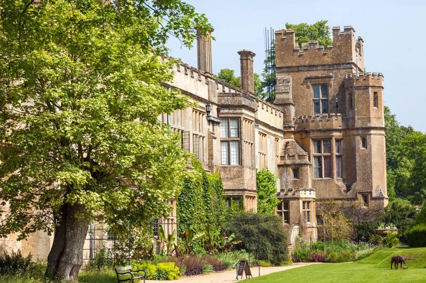
Sedgefield — Cheltenham distance, route on the map
Distance by car
Distance between Sedgefield, England, United Kingdom and Cheltenham, England, United Kingdom by car is — km, or miles. To travel this distance by car, you need minute, or h.
Route on the map, driving directions
Car route Sedgefield — Cheltenham was created automatically. The road on the map is shown as a blue line. By moving the markers, you can create a new route through the points you need.
Passing cities through which the car route passes: Manfield, Bedale, Leeming, North Yorkshire, Ripon, Scotton, Wetherby, Newton, Monk Fryston, Pontefract, South Yorkshire, Dinnington, Wales, Bolsover, Alfreton, Eastwood, Ilkeston, Long Eaton, East Midlands Airport, Thringstone, Ashby-de-la-Zouch, Tamworth, Sutton Coldfield, Wylde Green, Birmingham Airport, Solihull, Lapworth, Hollywood, Redditch, Tardebigge, Catshill, Bromsgrove, Bevere, Grafton Flyford, Worcester, Peopleton, Overbury, Beckford, Tirley.
Distance by plane
If you decide to take a trip Sedgefield Cheltenham by plane, then you have to fly the distance — 310 km or 192 miles. It is marked on the map with a gray line (between two points in a straight line).
Flight time
Estimated flight time Sedgefield Cheltenham by plane at cruising speed 750 km / h will be — 24 min.
Direction of movement
United Kingdom, Sedgefield — left-hand traffic. United Kingdom, Cheltenham — left-hand traffic.
Difference in time
Sedgefield and Cheltenham are in the same time zone. Between them there is no time difference (UTC +1 Europe/London).
Interesting Facts
Information on alternative ways to get to your destination.
The length of this distance is about 0.8% of the total length of the equator.
The percentage of the population is clearly shown in the graph:
Sedgefield — 4,263 (less by 98,986), Cheltenham — 103,249 residents.
The cost of travel
Calculate the cost of the trip yourself using the fuel consumption calculator, changing the data in the table.