Totnes — Marlow
Totnes — Fishguard
Totnes — Rowlands Gill
Totnes — Ilkley
Totnes — Wokingham
Totnes — Ringwood
Totnes — Llanfaelog
Totnes — Coalisland
Totnes — Ardrishaig
Totnes — Birmingham
Totnes — Amblecote
Totnes — Auchterhouse
Totnes — Livingston
Totnes — Chapmanslade
Totnes — Ruislip
Totnes — Llawhaden
Totnes — Ilketshall Saint Margaret
Totnes — Hove
Totnes — Chessington
Ilsington
Chudleigh Knighton
Chudleigh
Doddiscombsleigh
Topsham
Devon
Newton Poppleford
Ottery Saint Mary
Honiton
Horton
Lopen
Yeovil
Trent
Mere
West Knoyle
Knook
Great Wishford
Amesbury
Amesbury
Tidworth
Andover
Upper Clatford
Goodworth Clatford
Sutton Scotney
Brown Candover
Preston Candover
Hook
Blackwater
Camberley
Camberley
Sunningdale
Virginia Water
Thorpe
Chertsey
Weybridge
Epsom
Reigate
Merstham
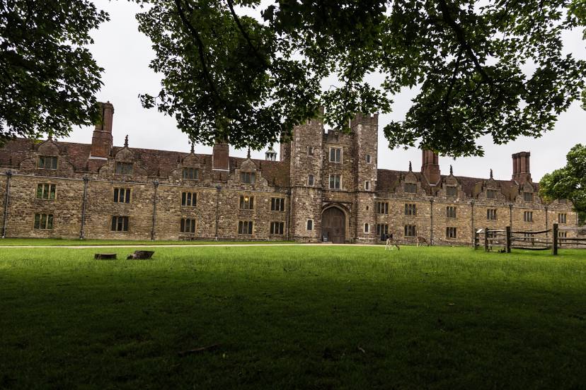
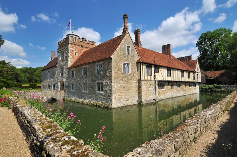
Westerham
Totnes — Marlow
Totnes — Fishguard
Totnes — Rowlands Gill
Totnes — Ilkley
Totnes — Wokingham
Totnes — Ringwood
Totnes — Llanfaelog
Totnes — Coalisland
Totnes — Ardrishaig
Totnes — Birmingham
Totnes — Amblecote
Totnes — Auchterhouse
Totnes — Livingston
Totnes — Chapmanslade
Totnes — Ruislip
Totnes — Llawhaden
Totnes — Ilketshall Saint Margaret
Totnes — Hove
Totnes — Chessington
Ilsington
Chudleigh Knighton
Chudleigh
Doddiscombsleigh
Topsham
Devon
Newton Poppleford
Ottery Saint Mary
Honiton
Horton
Lopen
Yeovil
Trent
Mere
West Knoyle
Knook
Great Wishford
Amesbury
Amesbury
Tidworth
Andover
Upper Clatford
Goodworth Clatford
Sutton Scotney
Brown Candover
Preston Candover
Hook
Blackwater
Camberley
Camberley
Sunningdale
Virginia Water
Thorpe
Chertsey
Weybridge
Epsom
Reigate
Merstham
Westerham
Totnes — Sevenoaks distance, route on the map
Distance by car
Distance between Totnes, England, United Kingdom and Sevenoaks, England, United Kingdom by car is — km, or miles. To travel this distance by car, you need minute, or h.
Route on the map, driving directions
Car route Totnes — Sevenoaks was created automatically. The road on the map is shown as a blue line. By moving the markers, you can create a new route through the points you need.
Passing cities through which the car route passes: Buckfastleigh, Ilsington, Chudleigh Knighton, Chudleigh, Doddiscombsleigh, Topsham, Devon, Newton Poppleford, Ottery Saint Mary, Honiton, Horton, Lopen, Yeovil, Trent, Mere, West Knoyle, Knook, Great Wishford, Amesbury, Amesbury, Tidworth, Andover, Upper Clatford, Goodworth Clatford, Sutton Scotney, Brown Candover, Preston Candover, Hook, Blackwater, Camberley, Camberley, Sunningdale, Virginia Water, Thorpe, Chertsey, Weybridge, Epsom, Reigate, Merstham, Westerham.
Distance by plane
If you decide to take a trip Totnes Sevenoaks by plane, then you have to fly the distance — 288 km or 179 miles. It is marked on the map with a gray line (between two points in a straight line).
Flight time
Estimated flight time Totnes Sevenoaks by plane at cruising speed 750 km / h will be — 23 min.
Direction of movement
United Kingdom, Totnes — left-hand traffic. United Kingdom, Sevenoaks — left-hand traffic.
Difference in time
Totnes and Sevenoaks are in the same time zone. Between them there is no time difference (UTC +1 Europe/London).
Interesting Facts
Information on alternative ways to get to your destination.
The length of this distance is about 0.7% of the total length of the equator.
The cost of travel
Calculate the cost of the trip yourself using the fuel consumption calculator, changing the data in the table.
Calculate the cost of other distances from the starting point — Totnes.