 Uxbridge
Watford
Dartford
Pavenham
Harrogate
Devon
Shetland Islands
Balloch
Grove
Newport
Chelmsford
Halifax
Dartmouth
Armagh
Wasing
Jameston
Langbank
Inverurie
Winchester
Uxbridge
Watford
Dartford
Pavenham
Harrogate
Devon
Shetland Islands
Balloch
Grove
Newport
Chelmsford
Halifax
Dartmouth
Armagh
Wasing
Jameston
Langbank
Inverurie
Winchester
Dunstable on the map, United Kingdom
Where is located Dunstable
Exact location — Dunstable, Central Bedfordshire, England, United Kingdom, marked on the map with a red marker.
Coordinates
Dunstable, United Kingdom coordinates in decimal format: latitude — 51.885644, longitude — -0.52039. When converted to degrees, minutes, seconds Dunstable has the following coordinates: 51°53′8.32 north latitude and -0°31′13.4 east longitude.
Population
Dunstable, Central Bedfordshire, England, United Kingdom, according to our data the population is — 51,973 residents, which is about 0.1% of the total population of the country (United Kingdom).
Comparison of the population on the graph:
Exact time
Time zone for this location Dunstable — UTC +1 Europe/London. Exact time — tuesday, 6 june 2024 year, 13 h. 05 minutes.
Sunrise and sunset
Dunstable, sunrise and sunset data for a date — tuesday 18.06.2024.
| Sunrise | Sunset | Day (duration) |
|---|---|---|
| 04:47 -0 minutes | 21:19 -0 minutes | 16 h. 30 minutes. -0 minutes |
You can control the scale of the map using the auxiliary tools to find out exactly where it is located Dunstable. When you change the scale of the map, the width of the ruler also changes (in kilometers and miles).
Nearby cities
The largest cities that are located nearby:
- Luton — 7 km
- Watford — 27 km
- Slough — 42 km
- Northampton — 47 km
- Oxford — 53 km
- Cambridge — 56 km
- Reading — 57 km
- Sutton — 62 km
- Chelmsford — 70 km
- Basildon — 77 km
- Coventry — 89 km
- Crawley — 89 km
- Gillingham — 92 km
- Southend-on-Sea — 92 km
- Leicester — 93 km
- Swindon — 94 km
- Cheltenham — 106 km
- Birmingham — 114 km
- Ipswich — 115 km
Distance to neighboring capitals:
- Brussels
 (Belgium) — 357 km
 - Amsterdam
 (Netherlands) — 374 km
 - Paris
 (France) — 394 km
 - Paris (France) — 394 km
- Dublin
 (Ireland) — 420 km
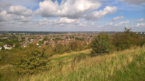
Attractions

Distance to the capital
Distance to the capital (London) is about — 50 km.