 Beeston
Craigavon
Fife
Papil
Abergavenny
Monmouth
Hereford
Cwmbran
Newport
Yate
Reading
Colchester
Dunstable
Scunthorpe
Musselburgh
Blackminster
Cranbrook
Lenham
Fort William
Beeston
Craigavon
Fife
Papil
Abergavenny
Monmouth
Hereford
Cwmbran
Newport
Yate
Reading
Colchester
Dunstable
Scunthorpe
Musselburgh
Blackminster
Cranbrook
Lenham
Fort William
Dartford on the map, United Kingdom
Where is located Dartford
Exact location — Dartford, Kent, England, United Kingdom, marked on the map with a red marker.
Coordinates
Dartford, United Kingdom coordinates in decimal format: latitude — 51.44621, longitude — 0.216872. When converted to degrees, minutes, seconds Dartford has the following coordinates: 51°26′46.36 north latitude and 0°13′0.74 east longitude.
Population
Dartford, Kent, England, United Kingdom, according to our data the population is — 56,694 residents, which is about 0.1% of the total population of the country (United Kingdom).
Comparison of the population on the graph:
Exact time
Time zone for this location Dartford — UTC +1 Europe/London. Exact time — saturday, 4 april 2024 year, 05 h. 00 minutes.
Sunrise and sunset
Dartford, sunrise and sunset data for a date — saturday 27.04.2024.
| Sunrise | Sunset | Day (duration) |
|---|---|---|
| 05:41 -2 minutes | 20:11 +1 minute | 14 h. 30 minutes. +3 minutes |
You can control the scale of the map using the auxiliary tools to find out exactly where it is located Dartford. When you change the scale of the map, the width of the ruler also changes (in kilometers and miles).
Nearby cities
The largest cities that are located nearby:
- Basildon — 24 km
- Gillingham — 24 km
- Sutton — 30 km
- Southend-on-Sea — 36 km
- Chelmsford — 36 km
- Crawley — 47 km
- Watford — 48 km
- Slough — 56 km
- Luton — 65 km
- Eastbourne — 75 km
- Reading — 82 km
- Cambridge — 84 km
- Ipswich — 93 km
- Oxford — 106 km
- Portsmouth — 114 km
- Northampton — 116 km
- Southampton — 128 km
- Swindon — 138 km
- Norwich — 150 km
Distance to neighboring capitals:
- Brussels
 (Belgium) — 296 km
 - Paris
 (France) — 326 km
 - Paris (France) — 326 km
- Amsterdam
 (Netherlands) — 337 km
 - Dublin
 (Ireland) — 488 km
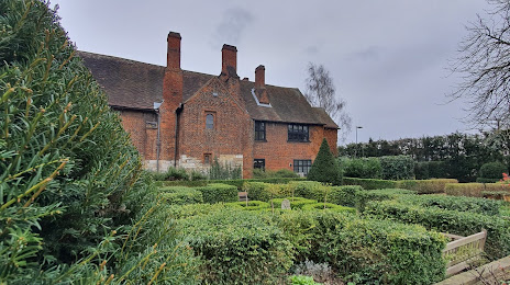
Attractions


Distance to the capital
Distance to the capital (London) is about — 25 km.