 Westerham
Eastbourne
Freshford
Knook
Epping
Maidstone
New Romney
Stafford
Bampton
Hever
Royal Leamington Spa
Bromley
Dunkeld
Londonderry
Londonderry
Pickering
Chester
Derby
Dartmouth
Westerham
Eastbourne
Freshford
Knook
Epping
Maidstone
New Romney
Stafford
Bampton
Hever
Royal Leamington Spa
Bromley
Dunkeld
Londonderry
Londonderry
Pickering
Chester
Derby
Dartmouth
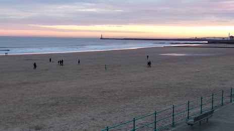
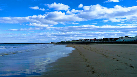
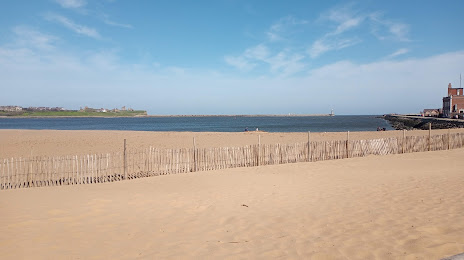
Sunderland on the map, United Kingdom
Where is located Sunderland
Exact location — Sunderland, Tyne and Wear, England, United Kingdom, marked on the map with a red marker.
Coordinates
Sunderland, United Kingdom coordinates in decimal format: latitude — 54.906869, longitude — -1.383801. When converted to degrees, minutes, seconds Sunderland has the following coordinates: 54°54′24.73 north latitude and -1°23′1.68 east longitude.
Population
Sunderland, Tyne and Wear, England, United Kingdom, according to our data the population is — 177,965 residents, which is about 0.3% of the total population of the country (United Kingdom).
Comparison of the population on the graph:
Exact time
Time zone for this location Sunderland — UTC +1 Europe/London. Exact time — sunday, 4 april 2024 year, 10 h. 53 minutes.
Sunrise and sunset
Sunderland, sunrise and sunset data for a date — sunday 28.04.2024.
| Sunrise | Sunset | Day (duration) |
|---|---|---|
| 05:35 -2 minutes | 20:30 +2 minutes | 14 h. 54 minutes. +4 minutes |
You can control the scale of the map using the auxiliary tools to find out exactly where it is located Sunderland. When you change the scale of the map, the width of the ruler also changes (in kilometers and miles).
Nearby cities
The largest cities that are located nearby:
- Huddersfield — 142 km
- Blackburn — 147 km
- Preston — 153 km
- Edinburgh — 161 km
- Rotherham — 163 km
- Manchester — 167 km
- Sheffield — 169 km
- Liverpool — 197 km
- Glasgow — 207 km
- Stoke-on-Trent — 217 km
- Leicester — 252 km
- Telford — 256 km
- Sutton Coldfield — 260 km
- West Bromwich — 267 km
- Dudley — 269 km
- Birmingham — 270 km
- Coventry — 277 km
- Belfast — 293 km
- Northampton — 297 km
Distance to neighboring capitals:
- Dublin
 (Ireland) — 362 km
 - Amsterdam
 (Netherlands) — 501 km
 - Brussels
 (Belgium) — 593 km
 - Paris
 (France) — 720 km
 - Paris (France) — 720 km
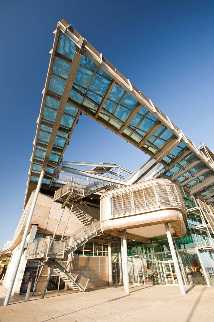
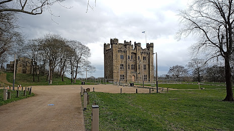
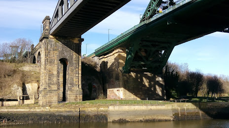
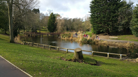
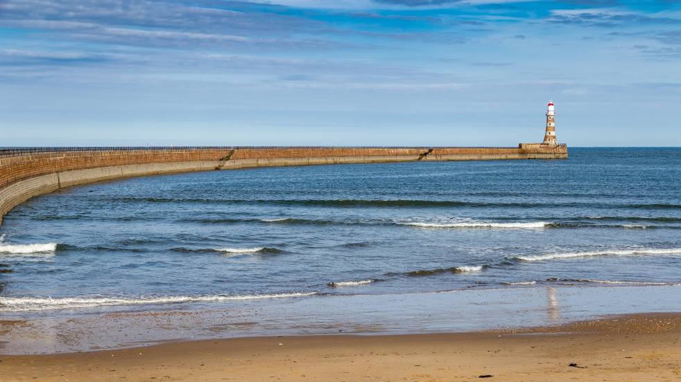
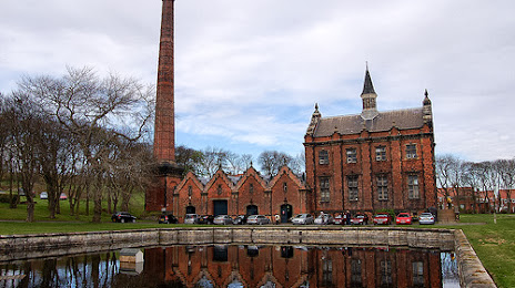
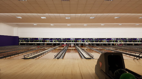
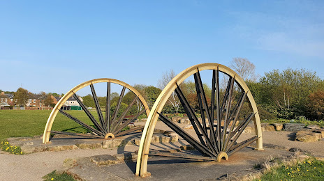
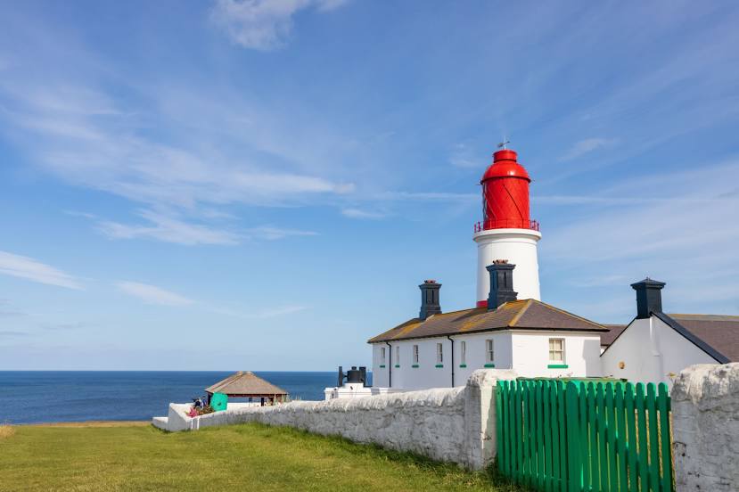
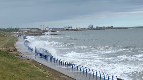
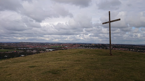
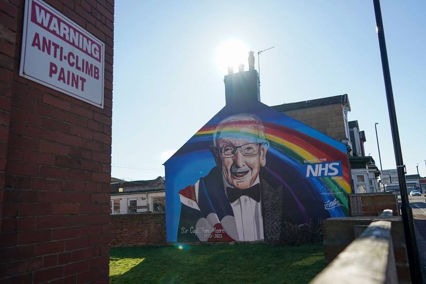
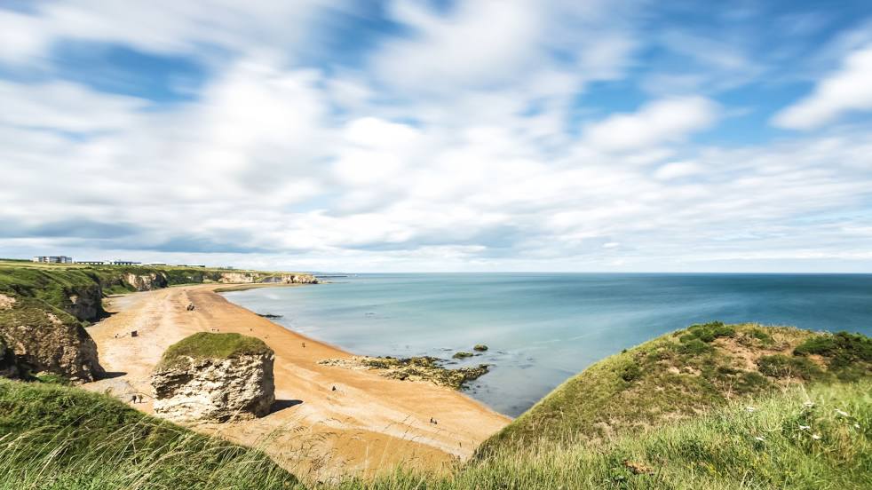
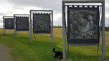
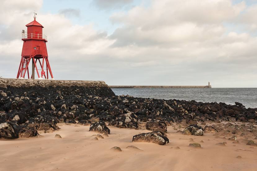
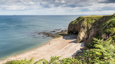
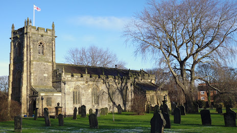
Attractions


Distance to the capital
Distance to the capital (London) is about — 387 km.