Mere — Corby
Mere — Tighnabruaich
Mere — Pavenham
Mere — Broadwoodwidger
Mere — Fort Augustus
Mere — Takeley
Mere — Catwick
Mere — Tyrone
Mere — Kettering
Mere — Little Plumstead
Mere — Leeds
Mere — Wolverhampton
Mere — Alston
Mere — Crewe
Mere — Great Bedwyn
Mere — Kendal
Mere — Wetherby
Mere — Cherhill
Mere — Dudley
Knook
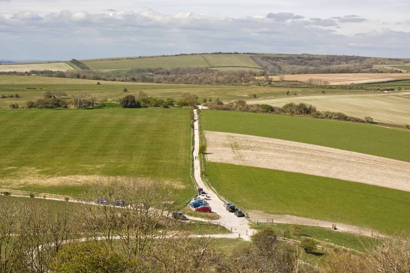
Great Wishford
West Grimstead
Winsor
Nursling
Shedfield
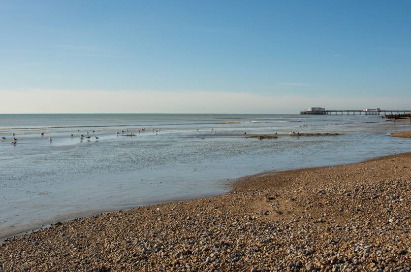
Havant
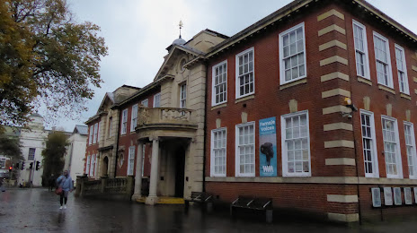
Chichester
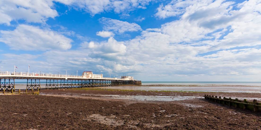
Arundel
Mere — Corby
Mere — Tighnabruaich
Mere — Pavenham
Mere — Broadwoodwidger
Mere — Fort Augustus
Mere — Takeley
Mere — Catwick
Mere — Tyrone
Mere — Kettering
Mere — Little Plumstead
Mere — Leeds
Mere — Wolverhampton
Mere — Alston
Mere — Crewe
Mere — Great Bedwyn
Mere — Kendal
Mere — Wetherby
Mere — Cherhill
Mere — Dudley
Knook
Great Wishford
West Grimstead
Winsor
Nursling
Shedfield
Havant
Chichester
Arundel
Mere — Worthing distance, route on the map
Distance by car
Distance between Mere, England, United Kingdom and Worthing, England, United Kingdom by car is — km, or miles. To travel this distance by car, you need minute, or h.
Route on the map, driving directions
Car route Mere — Worthing was created automatically. The road on the map is shown as a blue line. By moving the markers, you can create a new route through the points you need.
Passing cities through which the car route passes: West Knoyle, Knook, Great Wishford, West Grimstead, Winsor, Nursling, Shedfield, Havant, Chichester, Arundel.
Distance by plane
If you decide to take a trip Mere Worthing by plane, then you have to fly the distance — 136 km or 84 miles. It is marked on the map with a gray line (between two points in a straight line).
Flight time
Estimated flight time Mere Worthing by plane at cruising speed 750 km / h will be — 10 min.
Direction of movement
United Kingdom, Mere — left-hand traffic. United Kingdom, Worthing — left-hand traffic.
Difference in time
Mere and Worthing are in the same time zone. Between them there is no time difference (UTC +1 Europe/London).
Interesting Facts
Information on alternative ways to get to your destination.
The length of this distance is about 0.3% of the total length of the equator.
The cost of travel
Calculate the cost of the trip yourself using the fuel consumption calculator, changing the data in the table.