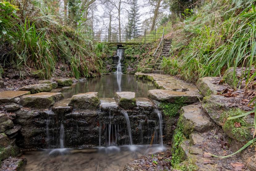
Virginia Water — Belhelvie
Virginia Water — Armoy
Virginia Water — Bury Saint Edmunds
Virginia Water — Braughing
Virginia Water — Beeston
Virginia Water — Folkestone
Virginia Water — South Yorkshire
Virginia Water — Dinder
Virginia Water — Pontrhydyfen
Virginia Water — Matlock
Virginia Water — Ystradgynlais
Virginia Water — Tyrone
Virginia Water — Achiltibuie
Virginia Water — Tintwistle
Virginia Water — Newmarket
Virginia Water — Broughton Gifford
Virginia Water — Longframlington
Virginia Water — Armagh
Virginia Water — Kirkwhelpington
Camberley
Camberley
Blackwater
Hook
Preston Candover
Brown Candover
Sutton Scotney
Goodworth Clatford
Upper Clatford
Andover
Tidworth
Amesbury
Amesbury
Great Wishford
Knook
West Knoyle
Mere
Trent
Virginia Water — Yeovil distance, route on the map
Distance by car
Distance between Virginia Water, England, United Kingdom and Yeovil, England, United Kingdom by car is — km, or miles. To travel this distance by car, you need minute, or h.
Route on the map, driving directions
Car route Virginia Water — Yeovil was created automatically. The road on the map is shown as a blue line. By moving the markers, you can create a new route through the points you need.
Passing cities through which the car route passes: Sunningdale, Camberley, Camberley, Blackwater, Hook, Preston Candover, Brown Candover, Sutton Scotney, Goodworth Clatford, Upper Clatford, Andover, Tidworth, Amesbury, Amesbury, Great Wishford, Knook, West Knoyle, Mere, Trent.
Distance by plane
If you decide to take a trip Virginia Water Yeovil by plane, then you have to fly the distance — 152 km or 94 miles. It is marked on the map with a gray line (between two points in a straight line).
Flight time
Estimated flight time Virginia Water Yeovil by plane at cruising speed 750 km / h will be — 12 min.
Direction of movement
United Kingdom, Virginia Water — left-hand traffic. United Kingdom, Yeovil — left-hand traffic.
Difference in time
Virginia Water and Yeovil are in the same time zone. Between them there is no time difference (UTC +1 Europe/London).
Interesting Facts
Information on alternative ways to get to your destination.
The length of this distance is about 0.4% of the total length of the equator.
The percentage of the population is clearly shown in the graph:
Virginia Water — 2,999 (less by 40,734), Yeovil — 43,733 residents.
The cost of travel
Calculate the cost of the trip yourself using the fuel consumption calculator, changing the data in the table.