Letchworth Garden City — Treuddyn
Letchworth Garden City — Bedford
Letchworth Garden City — Scottish Borders
Letchworth Garden City — Papil
Letchworth Garden City — Avon
Letchworth Garden City — Witney
Letchworth Garden City — Claybrooke Magna
Letchworth Garden City — Amersham
Letchworth Garden City — Leek
Letchworth Garden City — Clynderwen
Letchworth Garden City — Penllergaer
Letchworth Garden City — Barton-upon-Humber
Letchworth Garden City — Ilkley
Letchworth Garden City — Pontyberem
Letchworth Garden City — Urchfont
Letchworth Garden City — Gattonside
Letchworth Garden City — Morar
Letchworth Garden City — Bristol
Letchworth Garden City — Buryas Bridge
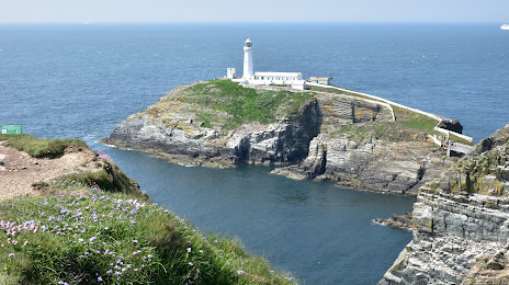
Letchworth Garden City — Holyhead distance, route on the map
Distance by car
Distance between Letchworth Garden City, England, United Kingdom and Holyhead, Wales, United Kingdom by car is — km, or miles. To travel this distance by car, you need minute, or h.
Route on the map, driving directions
Car route Letchworth Garden City — Holyhead was created automatically. The road on the map is shown as a blue line. By moving the markers, you can create a new route through the points you need.
Distance by plane
If you decide to take a trip Letchworth Garden City Holyhead by plane, then you have to fly the distance — 332 km or 206 miles. It is marked on the map with a gray line (between two points in a straight line).
Flight time
Estimated flight time Letchworth Garden City Holyhead by plane at cruising speed 750 km / h will be — 26 min.
Direction of movement
United Kingdom, Letchworth Garden City — left-hand traffic. United Kingdom, Holyhead — left-hand traffic.
Difference in time
Letchworth Garden City and Holyhead are in the same time zone. Between them there is no time difference (UTC +1 Europe/London).
Interesting Facts
Information on alternative ways to get to your destination.
The length of this distance is about 0.8% of the total length of the equator.
The percentage of the population is clearly shown in the graph:
Letchworth Garden City — 33,955, Holyhead — 11,362 residents (less by 22,593).
The cost of travel
Calculate the cost of the trip yourself using the fuel consumption calculator, changing the data in the table.
Calculate the cost of other distances from the starting point — Letchworth Garden City.