Leeming — Argyll and Bute
Leeming — Hampshire
Leeming — Seaton
Leeming — Armoy
Leeming — Wylam
Leeming — Poundon
Leeming — Colchester
Leeming — Tilton on the Hill
Leeming — Mere
Leeming — Gatwick Airport
Leeming — 리즈 브래드포드 국제공항
Leeming — Harrogate
Leeming — Chelmsford
Leeming — Lynton
Leeming — Llanferres
Leeming — Tattershall
Leeming — Alpheton
Leeming — Lesmahagow
Leeming — Ashby de la Launde
Ripon
Scotton
Wetherby
Newton
Monk Fryston
Pontefract
South Yorkshire
Dinnington
Wales
Bolsover
Alfreton
Eastwood
Ilkeston
Long Eaton
East Midlands Airport
Thringstone
Ashby-de-la-Zouch
Tamworth
Sutton Coldfield
Wylde Green
Birmingham Airport
Solihull
Lapworth
Hollywood
Redditch
Tardebigge
Catshill
Bromsgrove
Bevere
Grafton Flyford
Worcester
Peopleton
Overbury
Beckford
Tirley
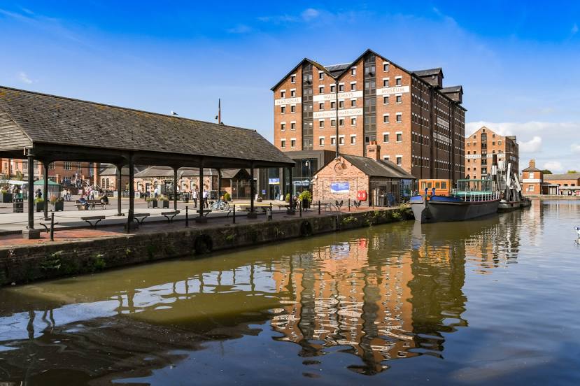
Cheltenham
Gloucestershire
Leeming — Argyll and Bute
Leeming — Hampshire
Leeming — Seaton
Leeming — Armoy
Leeming — Wylam
Leeming — Poundon
Leeming — Colchester
Leeming — Tilton on the Hill
Leeming — Mere
Leeming — Gatwick Airport
Leeming — 리즈 브래드포드 국제공항
Leeming — Harrogate
Leeming — Chelmsford
Leeming — Lynton
Leeming — Llanferres
Leeming — Tattershall
Leeming — Alpheton
Leeming — Lesmahagow
Leeming — Ashby de la Launde
Ripon
Scotton
Wetherby
Newton
Monk Fryston
Pontefract
South Yorkshire
Dinnington
Wales
Bolsover
Alfreton
Eastwood
Ilkeston
Long Eaton
East Midlands Airport
Thringstone
Ashby-de-la-Zouch
Tamworth
Sutton Coldfield
Wylde Green
Birmingham Airport
Solihull
Lapworth
Hollywood
Redditch
Tardebigge
Catshill
Bromsgrove
Bevere
Grafton Flyford
Worcester
Peopleton
Overbury
Beckford
Tirley
Cheltenham
Gloucestershire
Leeming — Gloucester distance, route on the map
Distance by car
Distance between Leeming, England, United Kingdom and Gloucester, England, United Kingdom by car is — km, or miles. To travel this distance by car, you need minute, or h.
Route on the map, driving directions
Car route Leeming — Gloucester was created automatically. The road on the map is shown as a blue line. By moving the markers, you can create a new route through the points you need.
Passing cities through which the car route passes: North Yorkshire, Ripon, Scotton, Wetherby, Newton, Monk Fryston, Pontefract, South Yorkshire, Dinnington, Wales, Bolsover, Alfreton, Eastwood, Ilkeston, Long Eaton, East Midlands Airport, Thringstone, Ashby-de-la-Zouch, Tamworth, Sutton Coldfield, Wylde Green, Birmingham Airport, Solihull, Lapworth, Hollywood, Redditch, Tardebigge, Catshill, Bromsgrove, Bevere, Grafton Flyford, Worcester, Peopleton, Overbury, Beckford, Tirley, Cheltenham, Gloucestershire.
Distance by plane
If you decide to take a trip Leeming Gloucester by plane, then you have to fly the distance — 275 km or 171 miles. It is marked on the map with a gray line (between two points in a straight line).
Flight time
Estimated flight time Leeming Gloucester by plane at cruising speed 750 km / h will be — 22 min.
Direction of movement
United Kingdom, Leeming — left-hand traffic. United Kingdom, Gloucester — left-hand traffic.
Difference in time
Leeming and Gloucester are in the same time zone. Between them there is no time difference (UTC +1 Europe/London).
Interesting Facts
Information on alternative ways to get to your destination.
The length of this distance is about 0.7% of the total length of the equator.
The cost of travel
Calculate the cost of the trip yourself using the fuel consumption calculator, changing the data in the table.