Berkeley — Laleham
Berkeley — Shepperton
Berkeley — Edinburgh
Berkeley — Lewes
Berkeley — Dunsfold
Berkeley — Bruichladdich
Berkeley — Scotland
Berkeley — Tenterden
Berkeley — West Malling
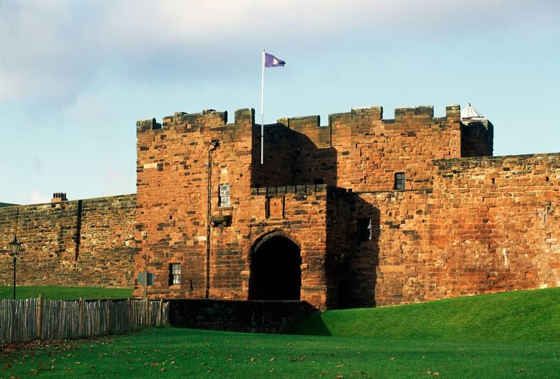
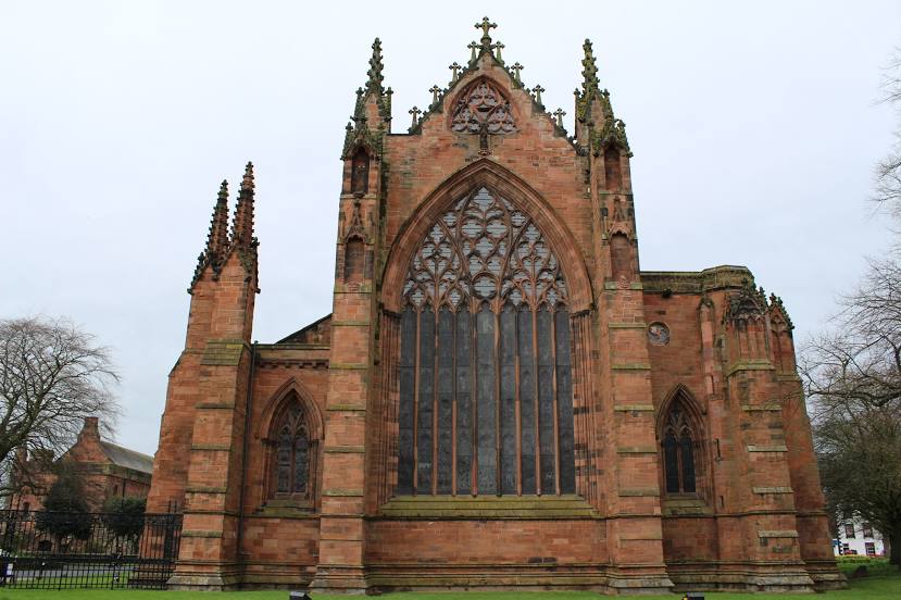
Berkeley — Portrush
Berkeley — Hertfordshire
Berkeley — Great Yarmouth
Berkeley — Skewen
Berkeley — Foggathorpe
Berkeley — Neath
Berkeley — Gulval
Berkeley — Cheshire West and Chester
Berkeley — Shebbear
Berkeley — Bowston
Gloucester
Gloucestershire
Cheltenham
Tirley
Beckford
Overbury
Peopleton
Worcester
Bevere
Grafton Flyford
Bromsgrove
Catshill
Romsley
Quinton
West Bromwich
Walsall
Willenhall
Cannock
Gailey
Stafford
Staffordshire
Stoke-on-Trent
Newcastle-under-Lyme
Keele
Alsager
Knutsford
Golborne
Wigan
Eccleston
Chorley
Preston
Lancashire
Scorton
Lancaster
Carnforth
Silverdale
Kendal
Cautley
Cumbria
Penrith
Great Salkeld
Berkeley — Laleham
Berkeley — Shepperton
Berkeley — Edinburgh
Berkeley — Lewes
Berkeley — Dunsfold
Berkeley — Bruichladdich
Berkeley — Scotland
Berkeley — Tenterden
Berkeley — West Malling
Berkeley — Portrush
Berkeley — Hertfordshire
Berkeley — Great Yarmouth
Berkeley — Skewen
Berkeley — Foggathorpe
Berkeley — Neath
Berkeley — Gulval
Berkeley — Cheshire West and Chester
Berkeley — Shebbear
Berkeley — Bowston
Gloucester
Gloucestershire
Cheltenham
Tirley
Beckford
Overbury
Peopleton
Worcester
Bevere
Grafton Flyford
Bromsgrove
Catshill
Romsley
Quinton
West Bromwich
Walsall
Willenhall
Cannock
Gailey
Stafford
Staffordshire
Stoke-on-Trent
Newcastle-under-Lyme
Keele
Alsager
Knutsford
Golborne
Wigan
Eccleston
Chorley
Preston
Lancashire
Scorton
Lancaster
Carnforth
Silverdale
Kendal
Cautley
Cumbria
Penrith
Great Salkeld
Berkeley — Carlisle distance, route on the map
Distance by car
Distance between Berkeley, England, United Kingdom and Carlisle, England, United Kingdom by car is — km, or miles. To travel this distance by car, you need minute, or h.
Route on the map, driving directions
Car route Berkeley — Carlisle was created automatically. The road on the map is shown as a blue line. By moving the markers, you can create a new route through the points you need.
Passing cities through which the car route passes: Stone House, Gloucester, Gloucestershire, Cheltenham, Tirley, Beckford, Overbury, Peopleton, Worcester, Bevere, Grafton Flyford, Bromsgrove, Catshill, Romsley, Quinton, West Bromwich, Walsall, Willenhall, Cannock, Gailey, Stafford, Staffordshire, Stoke-on-Trent, Newcastle-under-Lyme, Keele, Alsager, Knutsford, Golborne, Wigan, Eccleston, Chorley, Preston, Lancashire, Scorton, Lancaster, Carnforth, Silverdale, Kendal, Cautley, Cumbria, Penrith, Great Salkeld.
Distance by plane
If you decide to take a trip Berkeley Carlisle by plane, then you have to fly the distance — 358 km or 222 miles. It is marked on the map with a gray line (between two points in a straight line).
Flight time
Estimated flight time Berkeley Carlisle by plane at cruising speed 750 km / h will be — 28 min.
Direction of movement
United Kingdom, Berkeley — left-hand traffic. United Kingdom, Carlisle — left-hand traffic.
Difference in time
Berkeley and Carlisle are in the same time zone. Between them there is no time difference (UTC +1 Europe/London).
Interesting Facts
Information on alternative ways to get to your destination.
The length of this distance is about 0.9% of the total length of the equator.
The percentage of the population is clearly shown in the graph:
Berkeley — 1,907 (less by 70,726), Carlisle — 72,633 residents.
The cost of travel
Calculate the cost of the trip yourself using the fuel consumption calculator, changing the data in the table.