Sutton Coldfield — Eye
Sutton Coldfield — Milton Keynes
Sutton Coldfield — Hurstbourne Tarrant
Sutton Coldfield — Marlow
Sutton Coldfield — Huntly
Sutton Coldfield — Romford
Sutton Coldfield — Roos
Sutton Coldfield — Sandbank
Sutton Coldfield — Sleaford
Sutton Coldfield — Northwich
Sutton Coldfield — Canterbury
Sutton Coldfield — Penzance
Sutton Coldfield — Llanbedrog
Sutton Coldfield — Marlborough
Sutton Coldfield — Lancashire
Sutton Coldfield — Minera
Sutton Coldfield — Sunbury-on-Thames
Sutton Coldfield — West Drayton
Sutton Coldfield — Earle
Birmingham Airport
Coventry
Nuneaton
Claybrooke Parva
Rugby
Catthorpe
Lilbourne
Daventry
Northampton
Northampton
Moulsoe
Dunstable
Luton
Hemel Hempstead
Saint Albans
Hatfield
Enfield
Cheshunt
Loughton
Epping
Hornchurch
Aveley
Dartford
Hartley
Gravesend
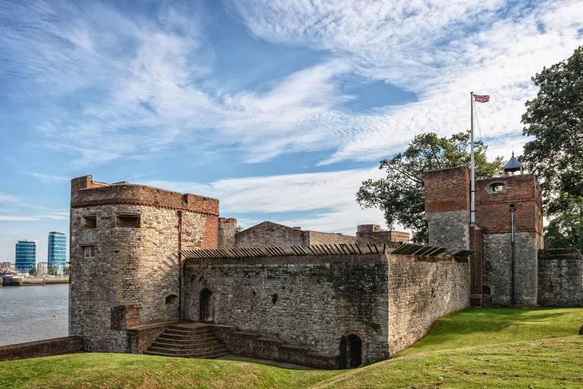
Sutton Coldfield — Rochester distance, route on the map
Distance by car
Distance between Sutton Coldfield, England, United Kingdom and Rochester, England, United Kingdom by car is — km, or miles. To travel this distance by car, you need minute, or h.
Route on the map, driving directions
Car route Sutton Coldfield — Rochester was created automatically. The road on the map is shown as a blue line. By moving the markers, you can create a new route through the points you need.
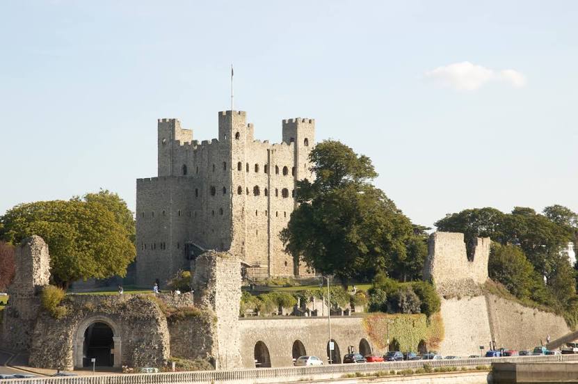
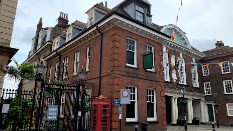
Passing cities through which the car route passes: Wylde Green, Birmingham Airport, Coventry, Nuneaton, Claybrooke Parva, Rugby, Catthorpe, Lilbourne, Daventry, Northampton, Northampton, Moulsoe, Dunstable, Luton, Hemel Hempstead, Saint Albans, Hatfield, Enfield, Cheshunt, Loughton, Epping, Hornchurch, Aveley, Dartford, Hartley, Gravesend.
Distance by plane
If you decide to take a trip Sutton Coldfield Rochester by plane, then you have to fly the distance — 207 km or 128 miles. It is marked on the map with a gray line (between two points in a straight line).
Flight time
Estimated flight time Sutton Coldfield Rochester by plane at cruising speed 750 km / h will be — 16 min.
Direction of movement
United Kingdom, Sutton Coldfield — left-hand traffic. United Kingdom, Rochester — left-hand traffic.
Difference in time
Sutton Coldfield and Rochester are in the same time zone. Between them there is no time difference (UTC +1 Europe/London).
Interesting Facts
Information on alternative ways to get to your destination.
The length of this distance is about 0.5% of the total length of the equator.
The percentage of the population is clearly shown in the graph:
Sutton Coldfield — 107,030, Rochester — 28,671 residents (less by 78,359).
The cost of travel
Calculate the cost of the trip yourself using the fuel consumption calculator, changing the data in the table.
Calculate the cost of other distances from the starting point — Sutton Coldfield.