Brierfield — South Petherwin
Brierfield — Haworth
Brierfield — Cheshunt
Brierfield — Newcastle
Brierfield — Clevedon
Brierfield — Berkeley
Brierfield — Ely
Brierfield — Hayes
Brierfield — Strathblane
Brierfield — Portsmouth
Brierfield — Stonegrave
Brierfield — Leighton Bromswold
Brierfield — Achiltibuie
Brierfield — Dunfermline
Brierfield — Grafton Flyford
Brierfield — London Luton Airport
Brierfield — Knutsford
Brierfield — Royal Tunbridge Wells
Brierfield — Huddersfield
Burnley
Altham
Baxenden
Bury
Heywood
Salford
Sale
Manchester
Golborne
Knutsford
Alsager
Keele
Newcastle-under-Lyme
Stoke-on-Trent
Staffordshire
Stafford
Gailey
Cannock
Willenhall
Walsall
Streetly
Erdington
Birmingham Airport
Coventry
Nuneaton
Claybrooke Parva
Rugby
Catthorpe
Lilbourne
Daventry
Northampton
Northampton
Moulsoe
Brierfield — Dunstable distance, route on the map
Distance by car
Distance between Brierfield, England, United Kingdom and Dunstable, England, United Kingdom by car is — km, or miles. To travel this distance by car, you need minute, or h.
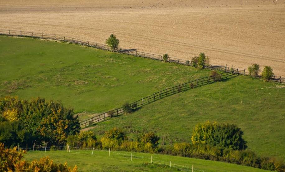
Route on the map, driving directions
Car route Brierfield — Dunstable was created automatically. The road on the map is shown as a blue line. By moving the markers, you can create a new route through the points you need.
Passing cities through which the car route passes: Nelson, Burnley, Altham, Baxenden, Bury, Heywood, Salford, Sale, Manchester, Golborne, Knutsford, Alsager, Keele, Newcastle-under-Lyme, Stoke-on-Trent, Staffordshire, Stafford, Gailey, Cannock, Willenhall, Walsall, Streetly, Erdington, Birmingham Airport, Coventry, Nuneaton, Claybrooke Parva, Rugby, Catthorpe, Lilbourne, Daventry, Northampton, Northampton, Moulsoe.
Distance by plane
If you decide to take a trip Brierfield Dunstable by plane, then you have to fly the distance — 244 km or 151 miles. It is marked on the map with a gray line (between two points in a straight line).
Flight time
Estimated flight time Brierfield Dunstable by plane at cruising speed 750 km / h will be — 19 min.
Direction of movement
United Kingdom, Brierfield — left-hand traffic. United Kingdom, Dunstable — left-hand traffic.
Difference in time
Brierfield and Dunstable are in the same time zone. Between them there is no time difference (UTC +1 Europe/London).
Interesting Facts
Information on alternative ways to get to your destination.
The length of this distance is about 0.6% of the total length of the equator.
The percentage of the population is clearly shown in the graph:
Brierfield — 10,271 (less by 41,702), Dunstable — 51,973 residents.
The cost of travel
Calculate the cost of the trip yourself using the fuel consumption calculator, changing the data in the table.
Calculate the cost of other distances from the starting point — Brierfield.